Haha… Probably true, but pretend you’re a neighbor, I’ve invited you to dinner and, just as you sit down—SURPRISE, out go the lights, on goes the Kodak slide projector, and I launch into a detailed account of a litany of unidentifiable landscapes punctuated with a raft of disconnected trivia—it’s the stuff dreams are made of.
I’m going to share some recent experiences as my wife Leslie and I flew from Richmond, Virginia to Denver, Colorado, rented a car, and spent a couple of weeks driving 3000 miles around Colorado, Utah, Arizona, and New Mexico. There are some connections you could construe as design-oriented, but most are about wandering, gawking, and eating.
Hopefully you’ll find something of interest, (I’m especially thinking of my friends who haven’t been to this part of the world—I like seeing the everyday stuff that isn’t typically covered in vacation highlights). Warning: I tend to ramble.
Day 1 | Richmond to Denver
This was my first extended trip to the Rocky Mountain States since the 1970s—back then I converted a van, quit my job as an art director at Riddick Advertising Art (RAA), and traveled back and forth across the United States in search of my American dream (and, perhaps, to find a new place to settle).
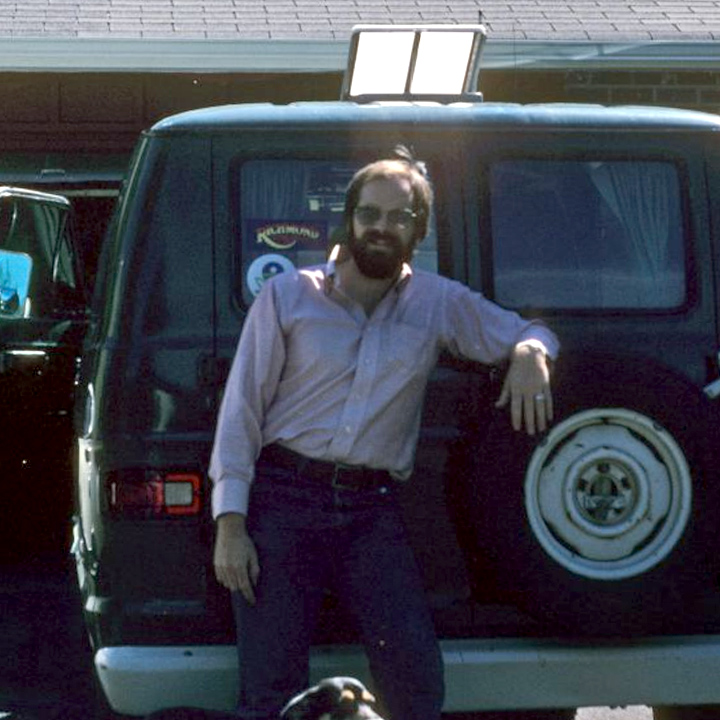
1978: That’s my Dodge van, myself, and my traveling companion Oscar.
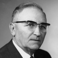 First, some trivia: Who is this gentleman? Hint, Scientific American magazine called his 1948 invention “perhaps the most significant mechanical innovation in agriculture since the replacement of draft animals by the tractor.
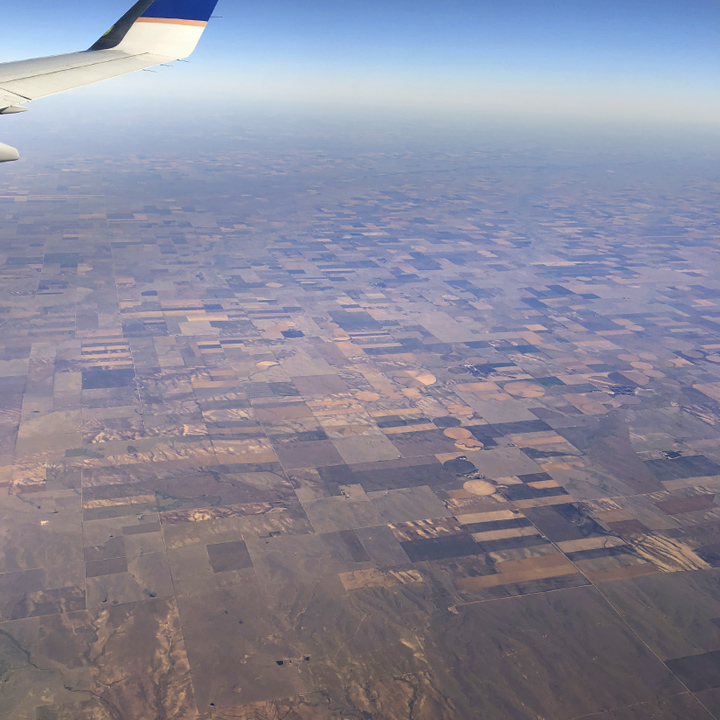
He is Frank Zybach and his invention was the Center Pivot Irrigation Sprinkler System. If you’ve ever flown in the United States (and lots of other places), you’ve seen the thousands of farm fields that use Zybach’s system today.
(Below) I’ve always been curious about the thousands of circular fields you see from the air—this time I looked it up—see, you learned something already. (Looking at this on a mobile device? Use the pinch-to-zoom gesture to see detail of the images—especially the panoramas.)
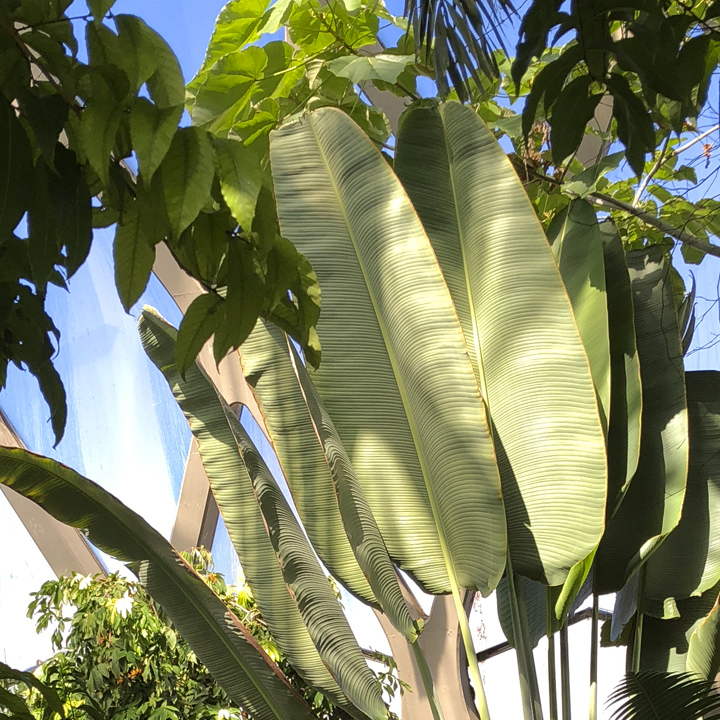
When we arrived in Denver, we headed out to the Denver Botanic Gardens. It’s an exciting collection for easterners because of all the varieties of plants that are not indigenous to our part of the continent. Under roof are substantial collections of cacti and tropicals that wouldn’t survive the harsh Denver winters, but offer a glimpse of what’s to come as we travel south.
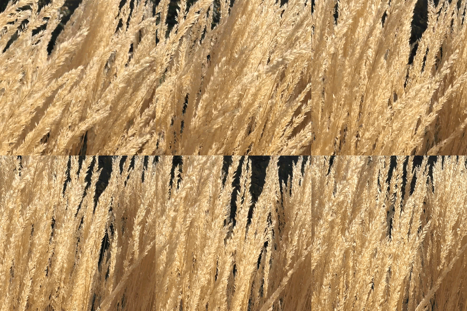
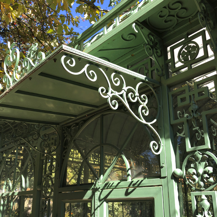
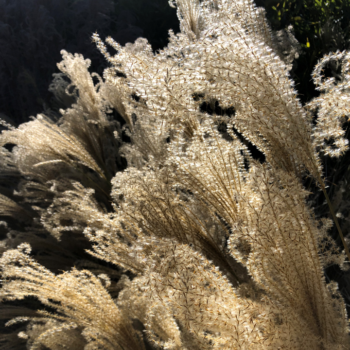
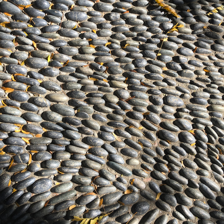
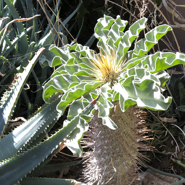
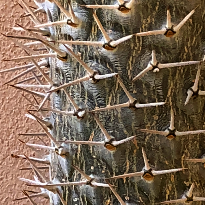
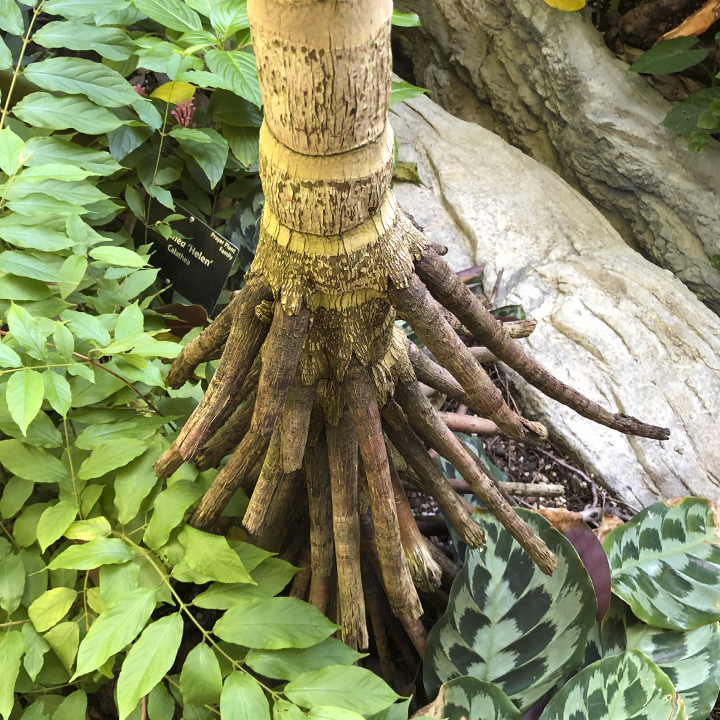
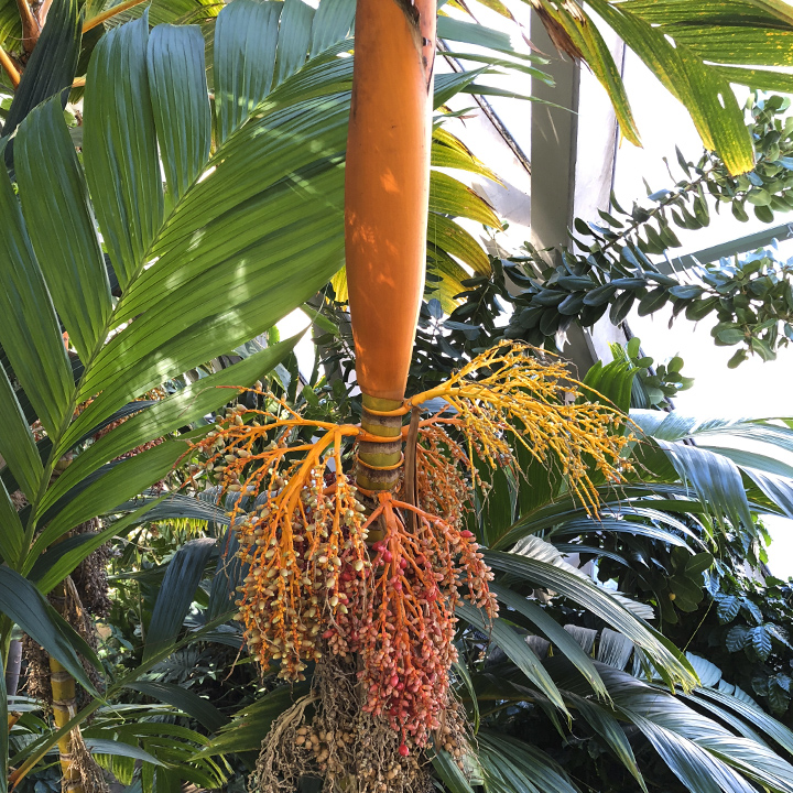
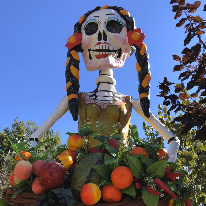
(Below) When we were visiting the Botanic Garden was displaying a number of sculptures by Ricardo Soltero (standing roughly 10 feet tall) celebrating Día de los Muertos, or Day of the Dead.
We stayed at The Maven, a relatively new hotel The hotel’s lobby features as kitschy Airstream trailer that serves as a bar.
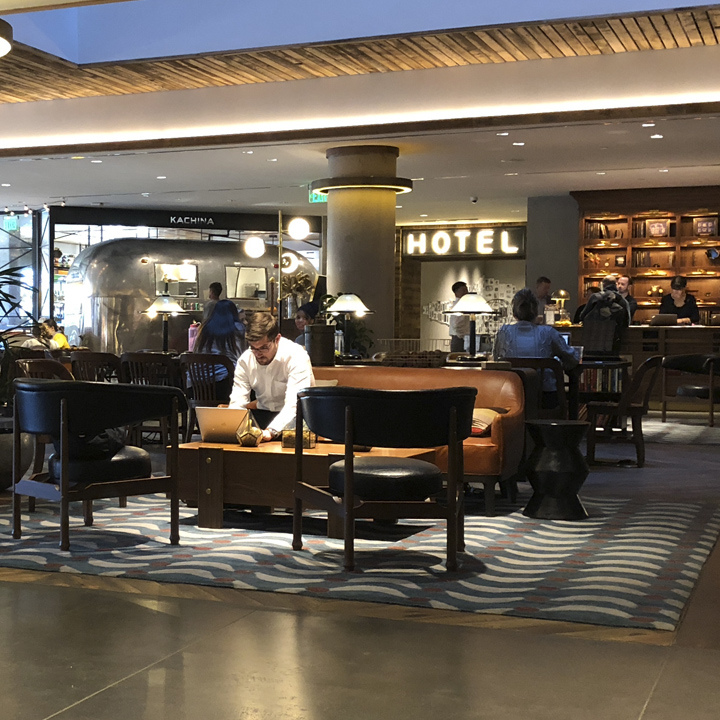
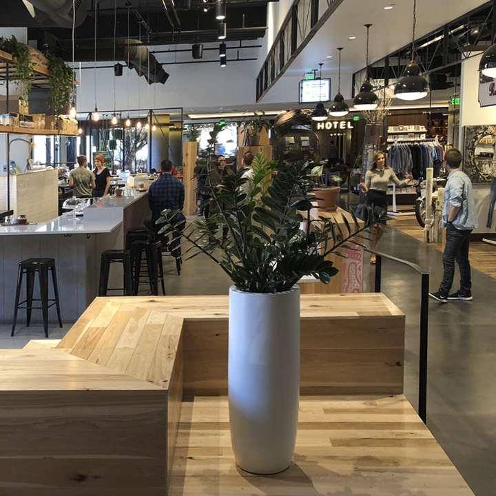
The Mavin anchors the Dairy Block: a collection of shops and restaurants located in the LoDo district of Denver.
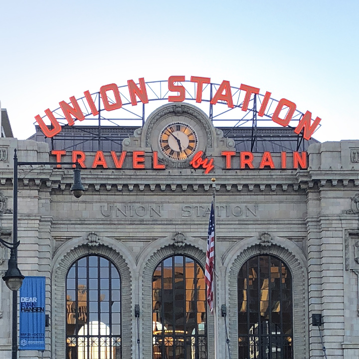
We walked a few blocks to Union Station, a working train station that includes more shops and restaurants.
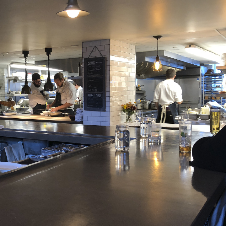
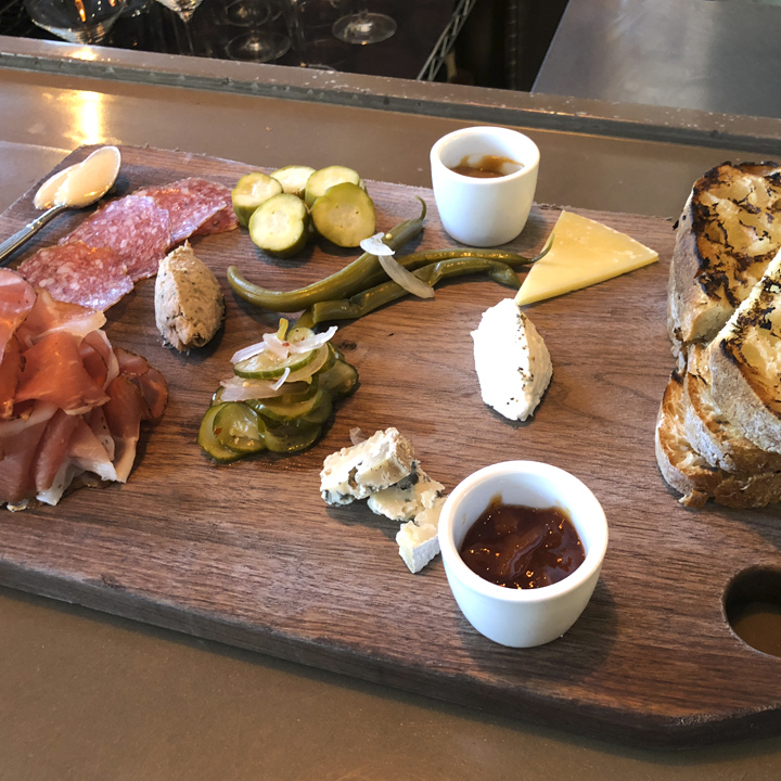
We sat at the bar in the Mercantile and enjoyed a board of cheeses and meats as we watched the kitchen crew work their magic.
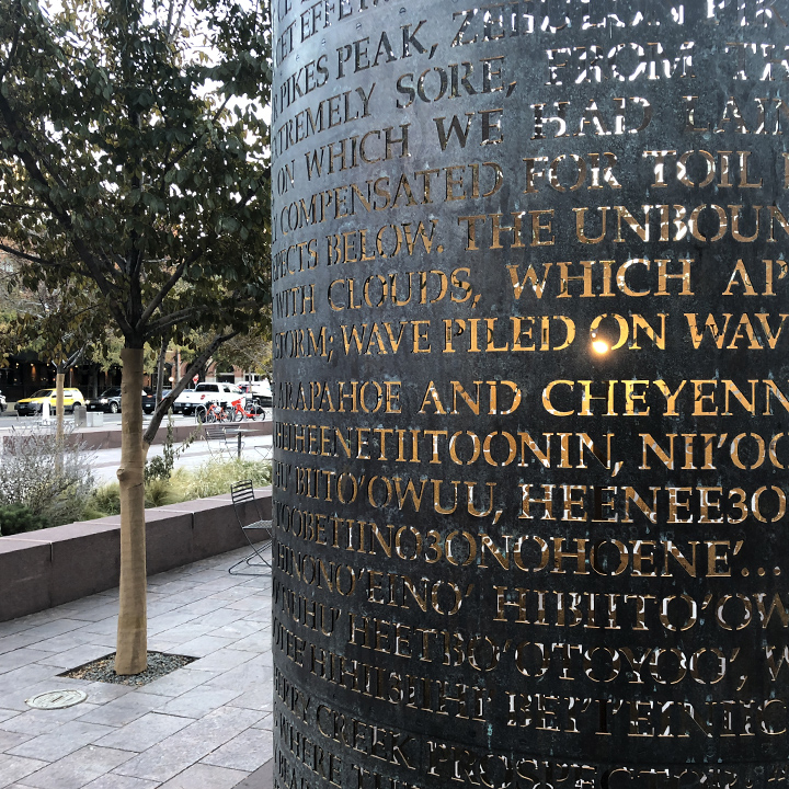
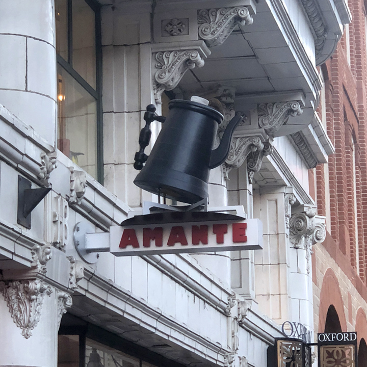
Later, we explored the neighborhood.
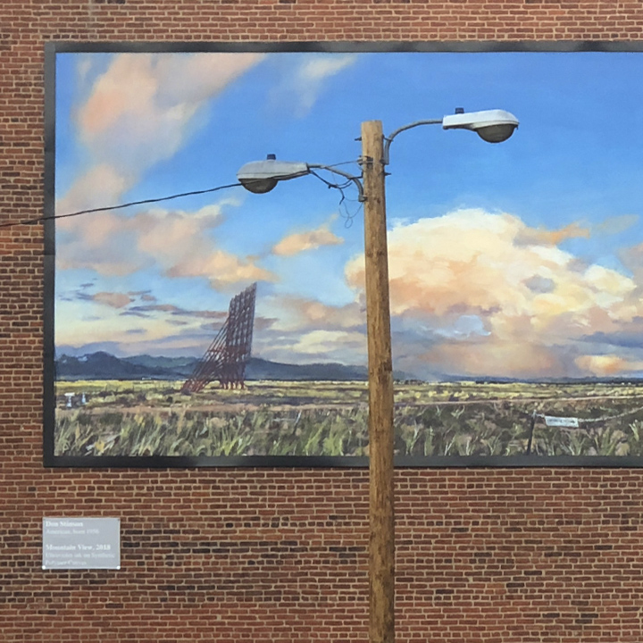
Day 2 | The diversity of the Rocky Mountain landscape
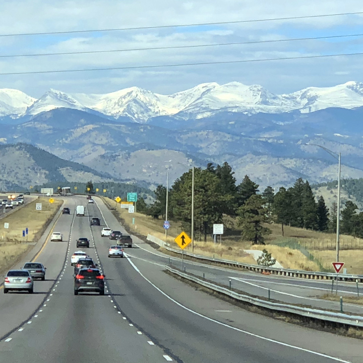
This day we’re off to cross the Rocky Mountains on Interstate 70 in central Colorado. We’ll avoid Interstates when it makes sense, but the stretch between Denver and Silverthorne doesn’t offer any alternatives.
First, we make quick stop at Babette’s Artisan Bread which is among a mix of shops at a hotel complex known as The Source.
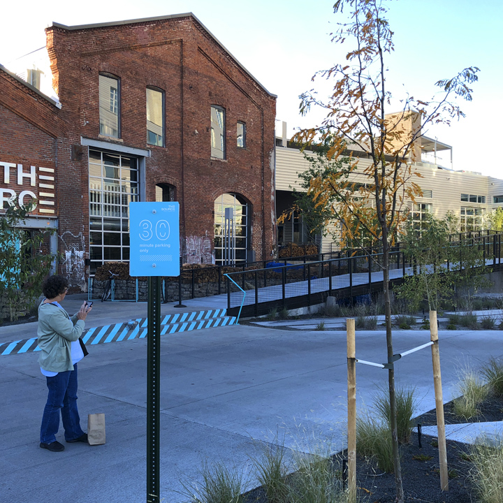
I should explain that my wife Leslie is a bakery aficionado. When we were first married she set up our kitchen in North Side (Richmond, Virginia) to wholesale baked goods to local retailers. (In those days, we had the only residential kitchen in Richmond that was inspected and certified by the Richmond Health Department.) Hence, as you’ll see, when we travel, we often stop at local bakeries to sample their wares. (Somebody’s got to do it.)
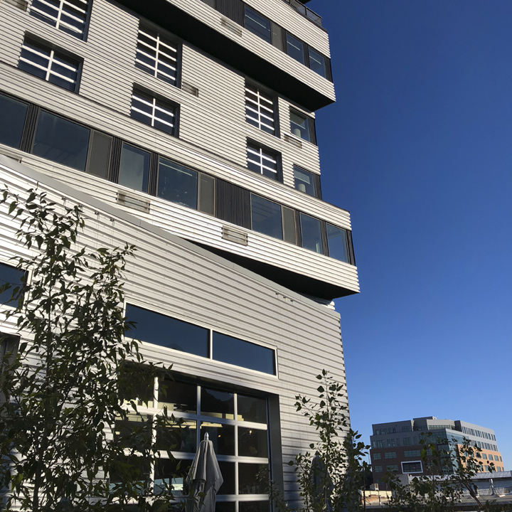
One thing I noticed about the Denver area is the amount of new construction. It seemed as if there is a building boom going on—new hotels, restaurants, multi-family housing, and so on. We inquired from the couple who run Babette’s about it and they confirmed that, at least their part of town, had seen a significant boom in construction in the last couple of years—that, in fact, the building they were in, was just constructed in the last two years.
The same was true in other places we visited, in particular the Salt Lake City corridor in Utah and Phoenix, Arizona. All of these places, of course, have grown exponentially since my last visit in the 1970s—fascinating to see but sad to me. I suppose there’s a natural inclination (albeit selfish) to hope that places remain as you left them in the hopes you could re-live your original experiences.
Here’s a fun-looking storefront…
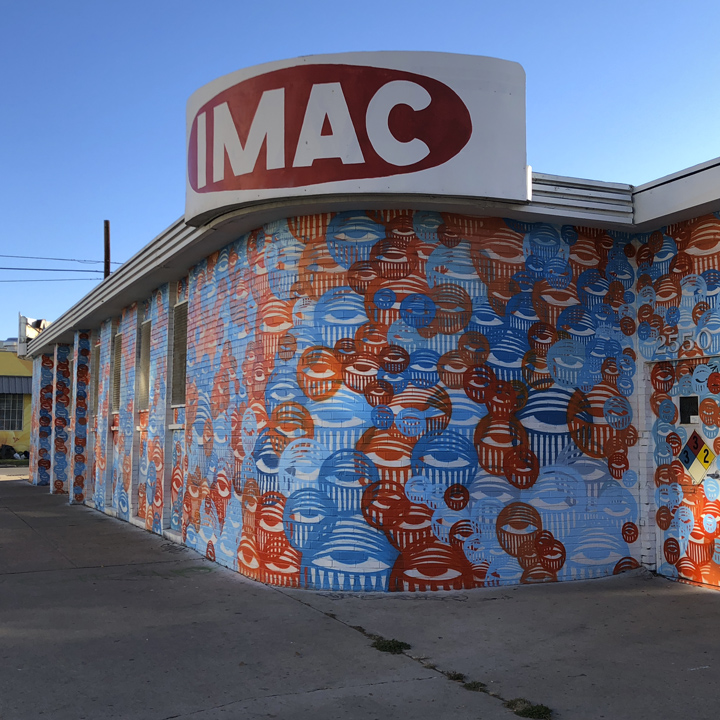
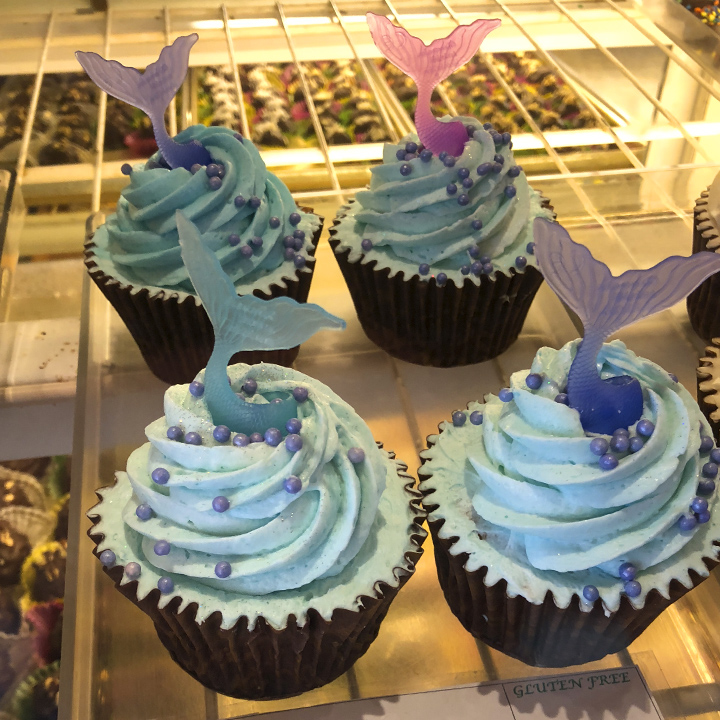
One more stop before we head up to the Loveland Pass and the Eisenhower Tunnel—at the Rheinlander Bakery in Arvada, Colorado. I snapped this picture of some cupcakes (so I didn’t have to eat them)…
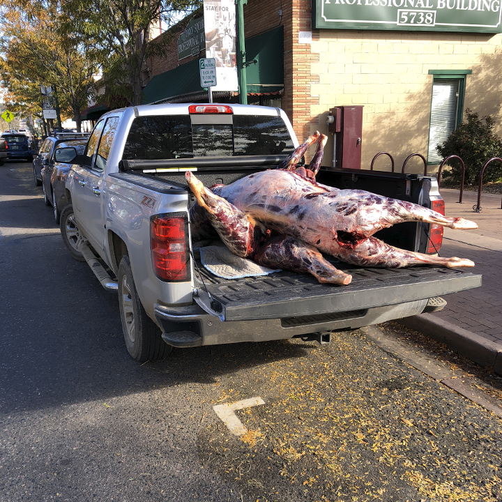
But I found the scene across the street more interesting—two field dressed elk (200-500lbs) in the back of a pickup truck. It turns out, Steve’s Meat Market is a couple of doors down from the bakery—which specializes in game processing. Not what you typically expect with your morning coffee, but interesting none the less…
On to the main event of the day: the 325 mile drive between Denver and Vernal, Utah.
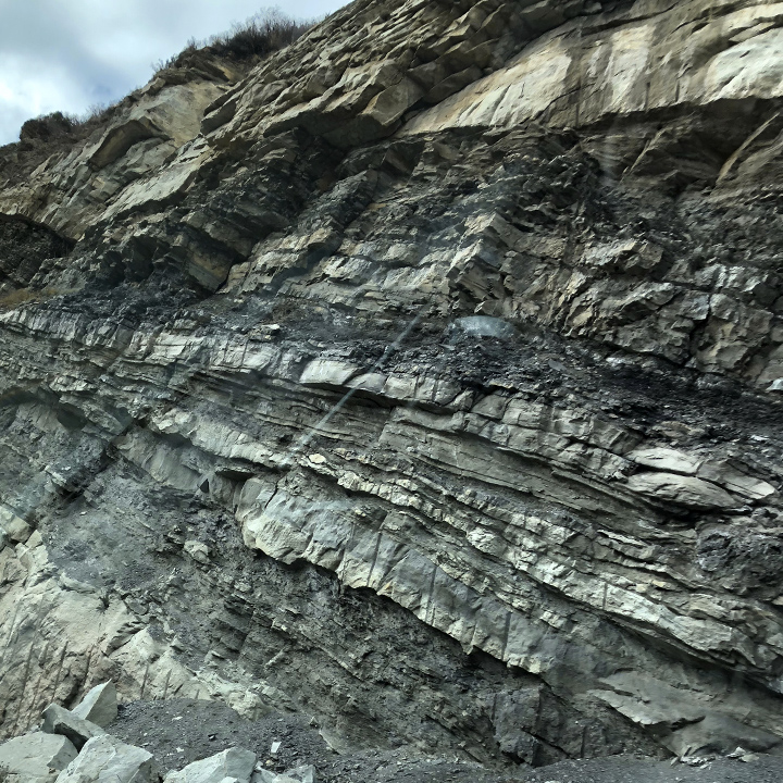
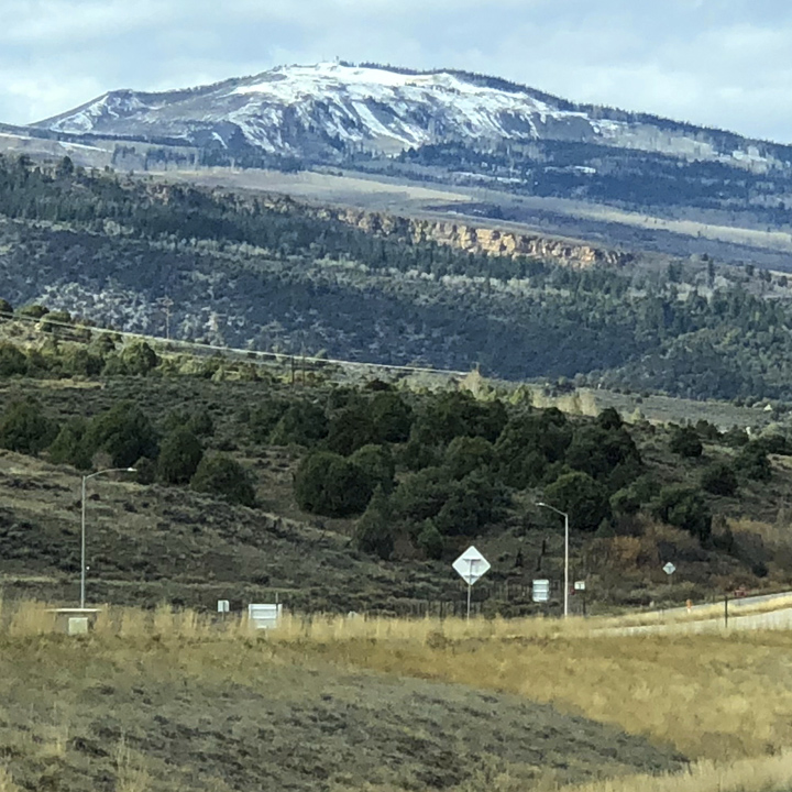
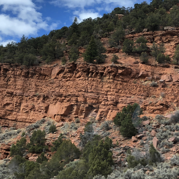
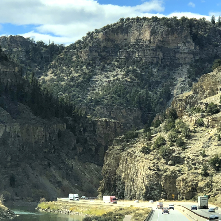
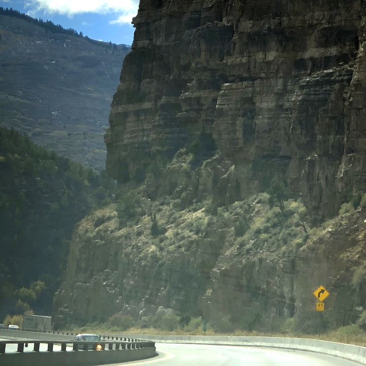
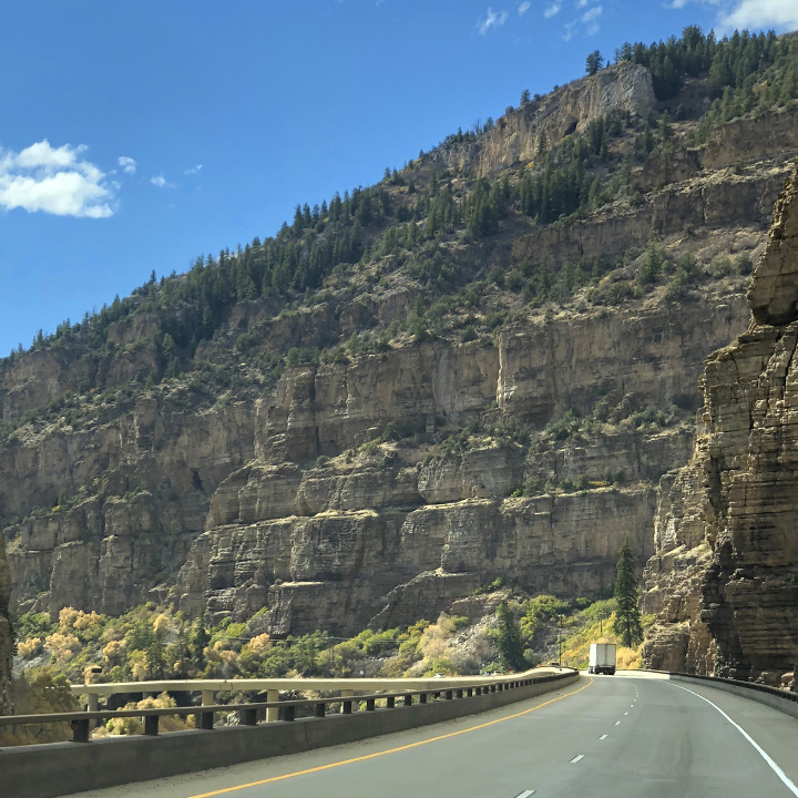
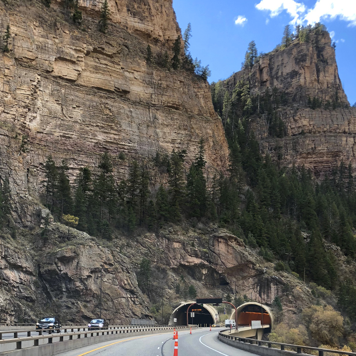
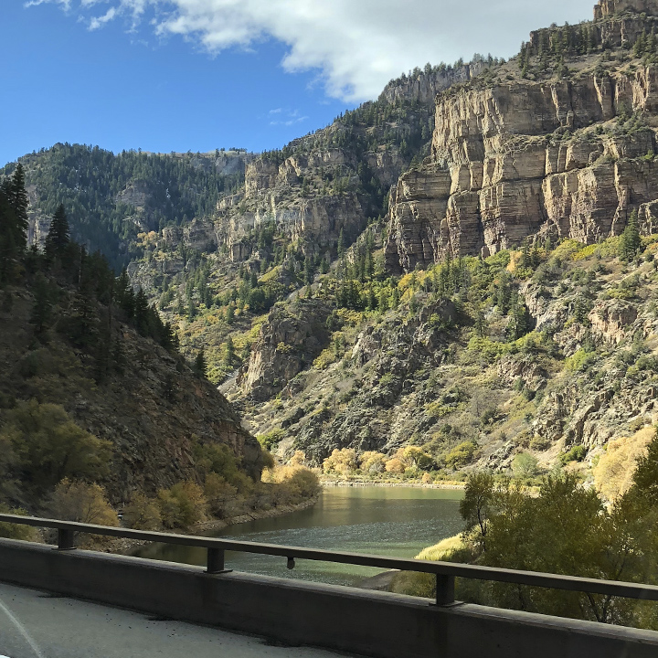
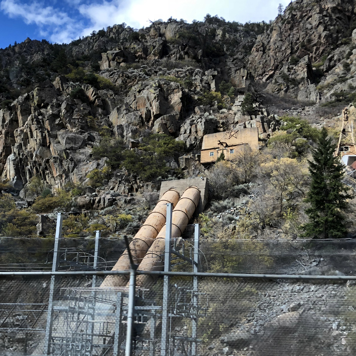
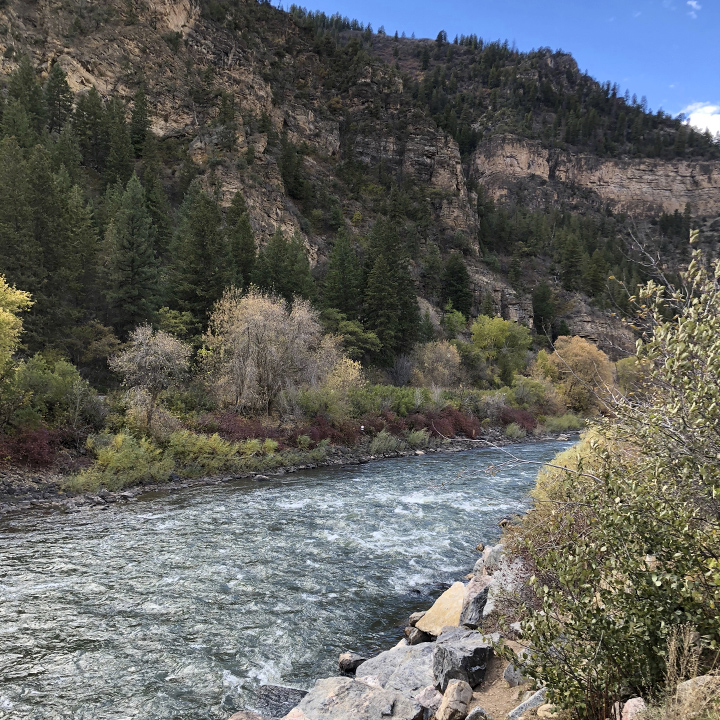
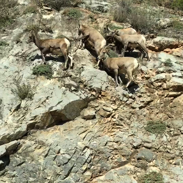
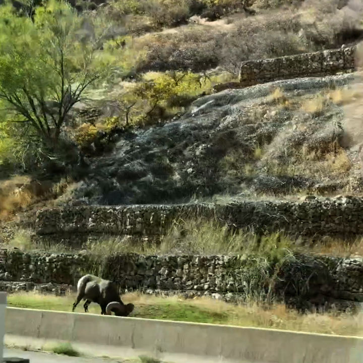
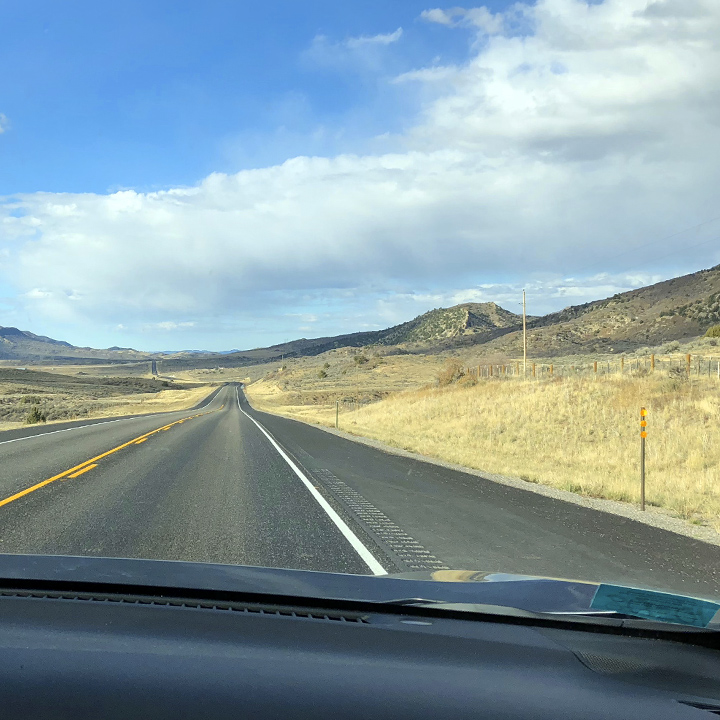
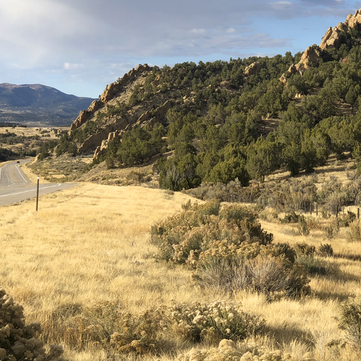
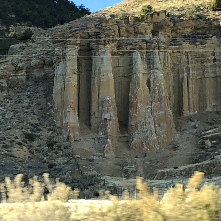
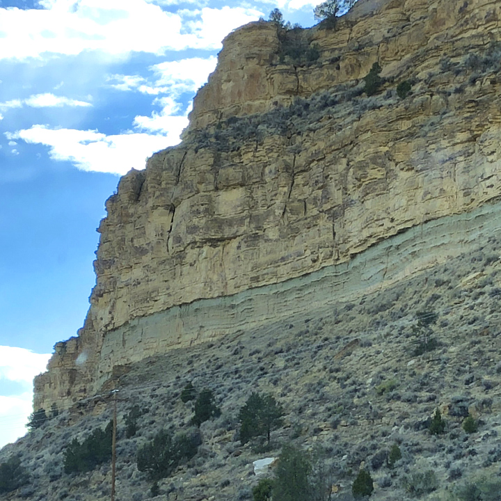
It’s all about the landscapes. I have never seen such a diversity of landscapes in such a short distance—from snow-capped mountain peaks of the Southern Rockies to the geologic eccentricities of Colorado Plateaus to the broad, distant views of the Wasatch and Uinta Mountains—it is stunningly beautiful…
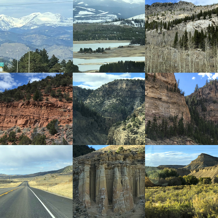
In the order we encountered them…
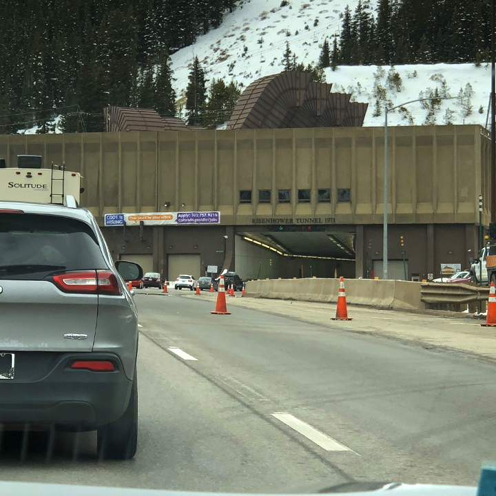
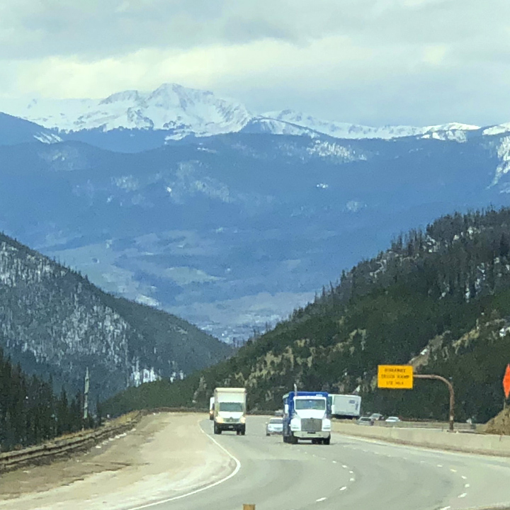
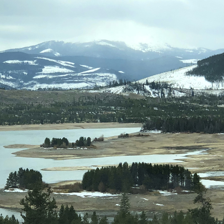
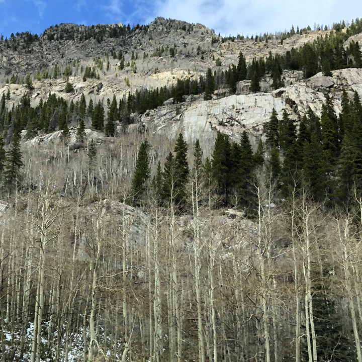
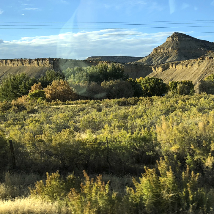
We settled into our hotel room in Vernal, Utah at dusk.
By the way: Because we are off season, we didn’t worry about finding a room. And to narrow the choices, we found that searching New Sleeps was a good way to find new and newly renovated hotels. Not necessarily a guarantee of a good room, but it did prove to be a good and reliable gauge.
Day 3 | Dinosaurs and Salt
This morning we take a back road over to Dinosaur National Monument—a National Park that straddles the borders of Colorado and Utah just south of Wyoming.
Minutes outside Vernal, Utah we’re in what seems to be the proverbial middle of nowhere—what was, to me, one of the most simple but inspiring spots we visited on the trip. Canyons and mountains are impressive, but there was something intimate about this little road among the hills. (Looking at this on a mobile device? Use the pinch-to-zoom gesture to see detail of the images—especially the panoramas.)
Dinosaur National Monument was established in October of 1915 to protect the Carnegie Quarry in the Upper Jurassic Morrison Formation.
Ben at ExtinctMonsters.net explains: “About 150 million years ago, a severe drought ravaged the western interior of North America. In eastern Utah, malnourished dinosaurs gathered near a dwindling river. Unwilling or unable to leave the water source, they eventually died of thirst or disease. When rain finally returned to the region, three or four successive flash floods washed dozens of animal carcasses into a relatively small depositional area to the southeast. Today, this site is known as the Carnegie Quarry at Dinosaur National Monument, and it is one of the most incredible fossil sites in the world.”
Here’s another resource that covers this rich region.
You pass through the entrance…
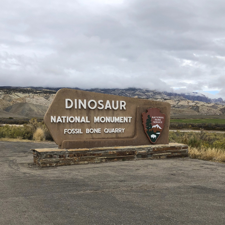
And travel up and around the hills…
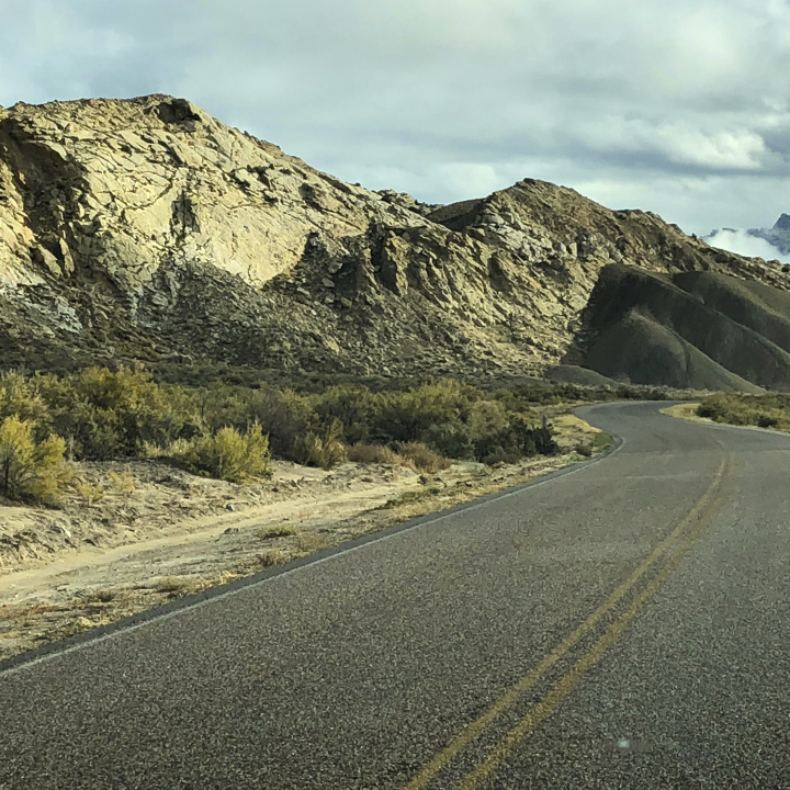
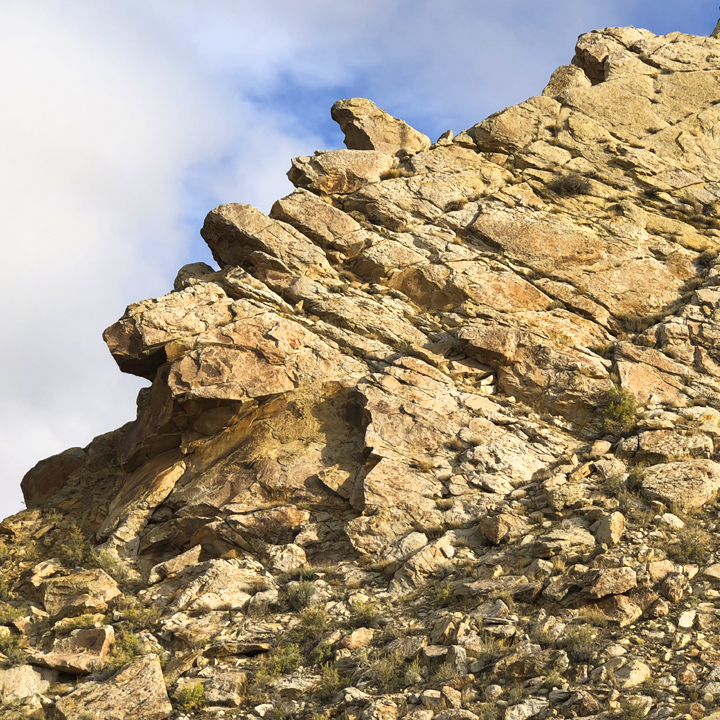
To a visitor center…
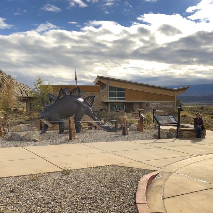
Where you take a shuttle to the Quarry site…
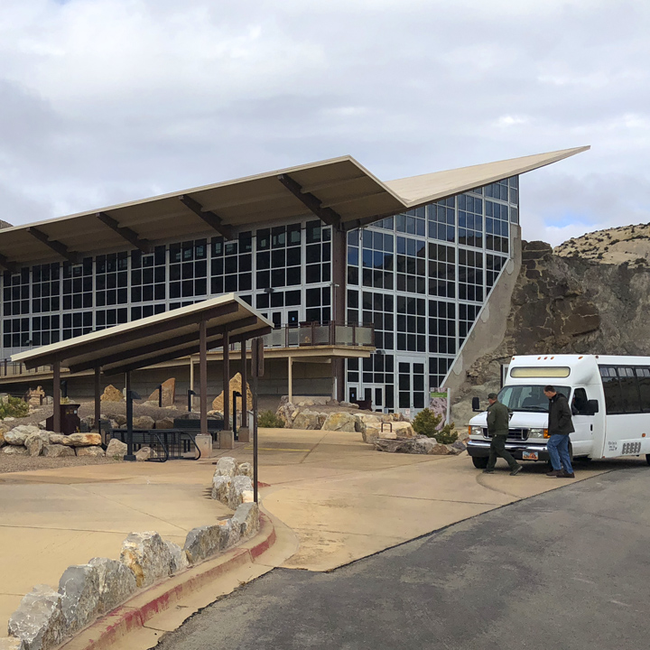
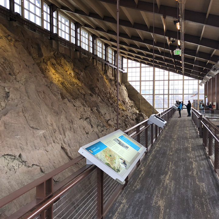
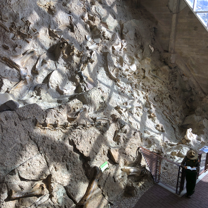
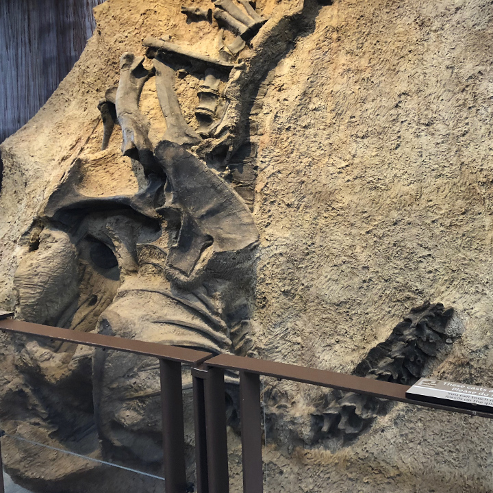
The we’re off on a trail that snakes back around to the visitor center…
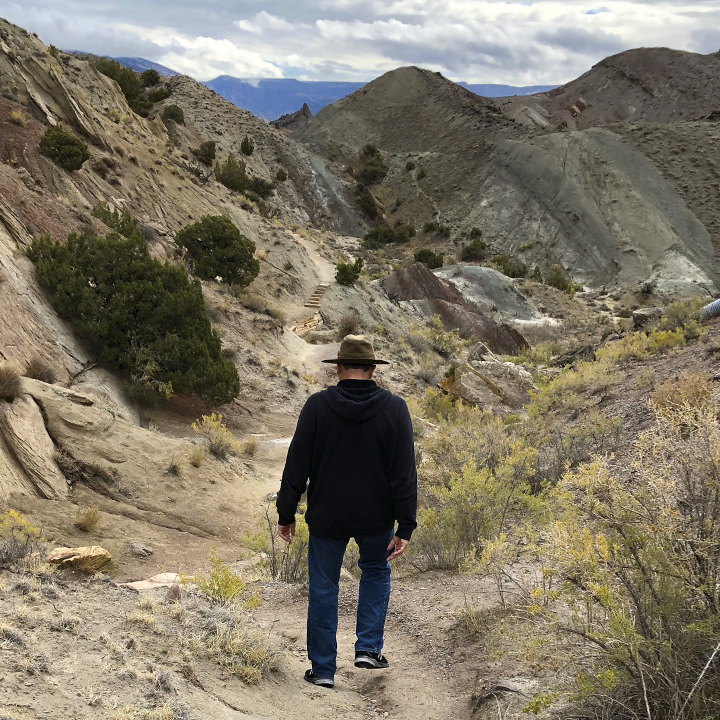
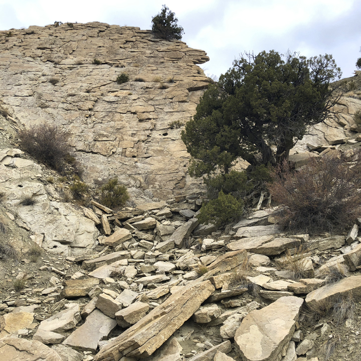
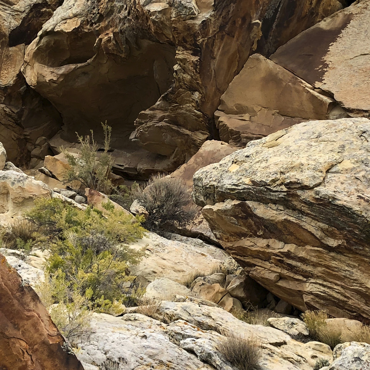
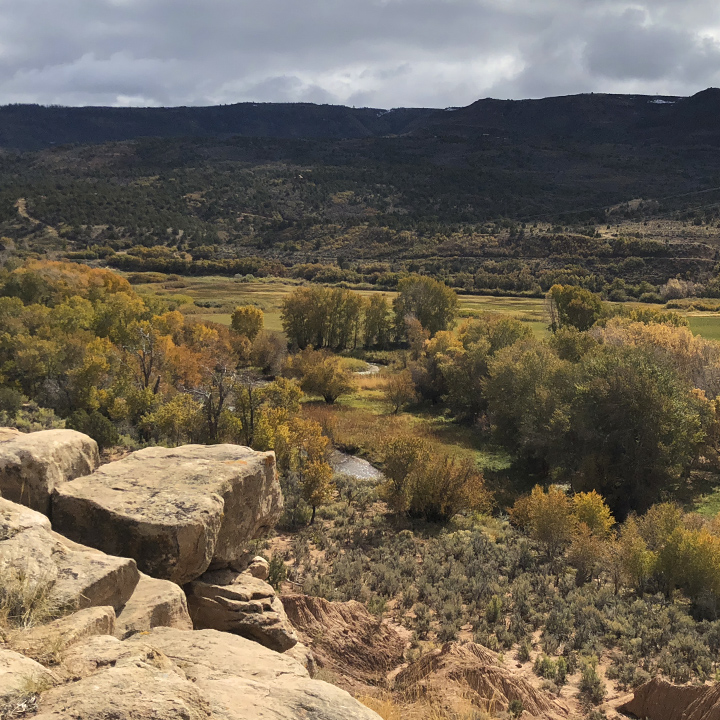
From the park we’re off through the Unita Mountains to Salt Lake City…
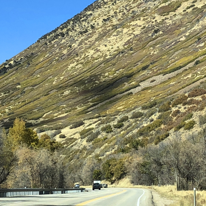
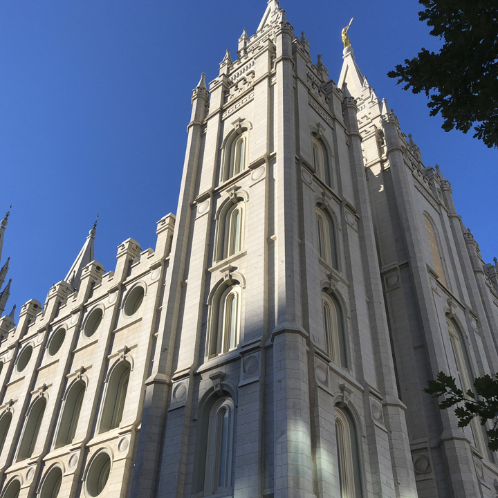
According to PEW, 55 percent of Utah’s adult population identifies as members of the Church of Jesus Christ of Latter-Day Saints—so we would be remiss, not to learn a bit more about it. To that end, this afternoon we visit the Temple Square.
First, some context: Wikipedia summarizes the Church’s history like this (I’ve edited it for brevity):
“Joseph Smith, founder of the Latter Day Saint movement, gained a small following in western New York in the late 1820s. The main body of the church moved to Kirtland, Ohio in the early 1830s and then to Missouri in 1838. After Missouri, Smith built the city of Nauvoo, Illinois (near which he was killed). Following Smith’s death, a succession crisis ensued, and the majority voted to accept the Quorum of the Twelve, led by Brigham Young, as the church’s leading body.
In 1846, after continued difficulties and persecution in Illinois, Young led his followers, the Mormon Pioneers, to the Great Salt Lake Valley. The group branched out in an effort to pioneer a large state to be called Deseret, eventually establishing colonies from Canada to present-day Mexico.
By 1857, tensions escalated between Mormons and other Americans, largely as a result of church teachings on polygamy and theocracy. The Utah Mormon War ensued from 1857 to 1858, which resulted in the relatively peaceful invasion of Utah by the United States Army, after which Young agreed to step down from power and be replaced by a non-Mormon territorial governor. Nevertheless, the Church of Jesus Christ of Latter-Day Saints still wielded significant political power in the Utah Territory.
At Young’s death in 1877, he was followed by other powerful members, who continued the practice of polygamy despite opposition by the United States Congress. After tensions with the U.S. government came to a head in 1890, the church officially abandoned the public practice of polygamy and stopped performing official polygamous marriages altogether after a Second Manifesto in 1904. Eventually, the church adopted a policy of excommunicating its members found practicing polygamy and today seeks to actively distance itself from ‘fundamentalist’ groups still practicing polygamy.”
This is the Salt Lake Temple. In her commentary about who can enter an LDS Temple she explains:
“For members of the Church of Jesus Christ of Latter-day Saints, temples are our most sacred spaces of worship. Much of our religion revolves around the ordinances that take place there and the covenants we make with God while in the temple.
In this discussion, it’s important to understand the distinction between LDS temples and LDS meetinghouses. Regular Sunday worship services do not take place in temples—in fact, temples are only open Monday through Saturday. Sunday church services, as well as various activities throughout the week, are held in meetinghouses, and the invitation is always open to any and all who would like to come.”
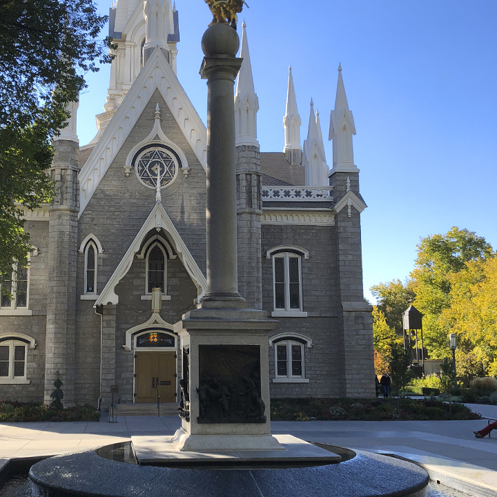
The Assembly Hall…
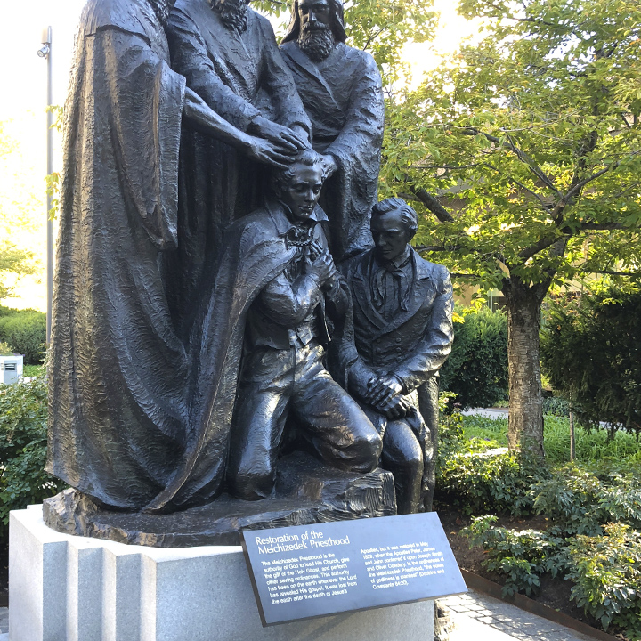
And the Family History Library which, like the online FamilySearch Center, provides free-to-the-public, non-denominational records and tools for searching family histories…

Later, we travel south through the busy city-center corridor to our hotel.
Day 4 | From North to South Utah
This morning we continue south through the busy corridor of Salt Lake City, Orem, and Provo. The traffic is every bit as challenging as any large metropolitan area I’ve driven in–that was a little surprising.
But south of Provo, we’re off onto smaller roads and back to wide open spaces and more beautiful scenery.
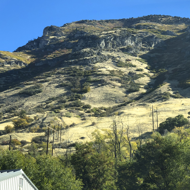
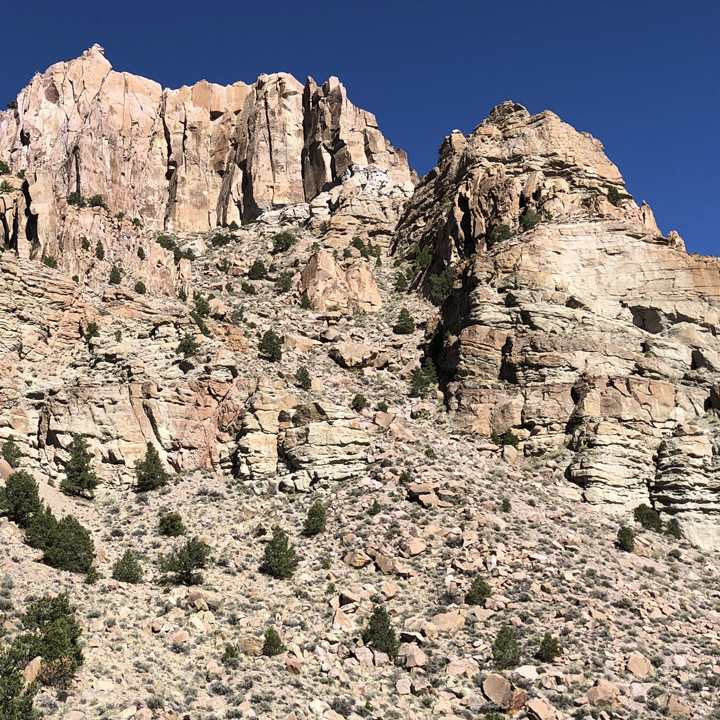
Today is mostly about traversing the 300 miles that take us to Kanab, Utah —the town closest to tomorrow’s destination, the North Rim of the Grand Canyon.
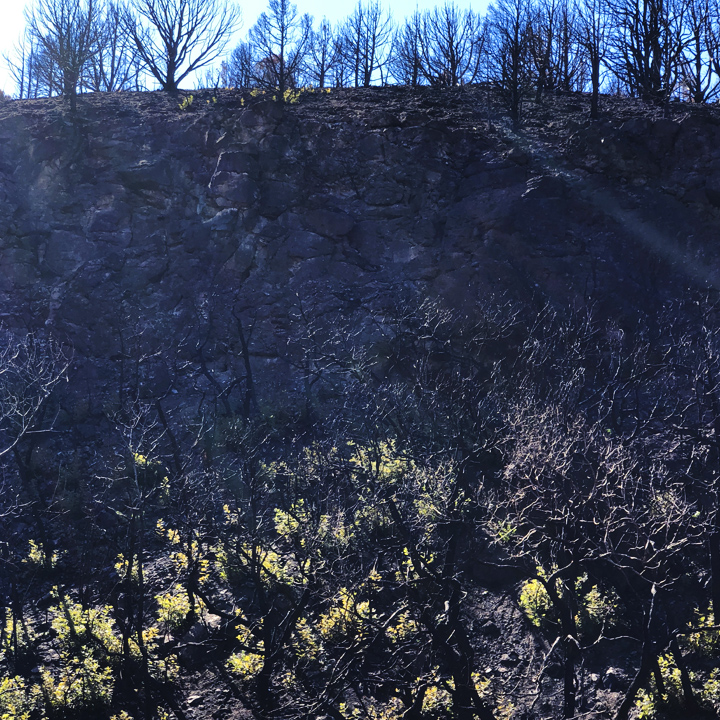
In the last couple of days, and on the way down today, we see stretches like this, where fires have left burned out hillsides…
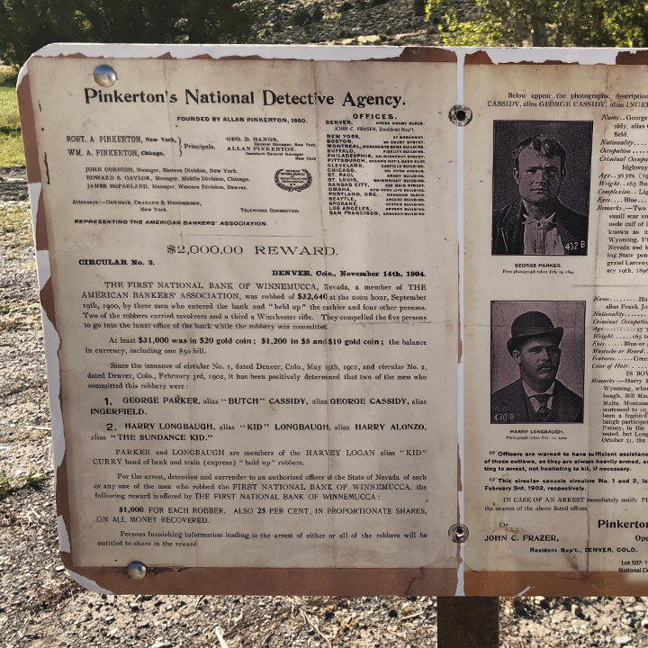
In mid-day we stumbled on the childhood home of Robert LeRoy Parker (Butch Cassidy) just outside of Circleville…
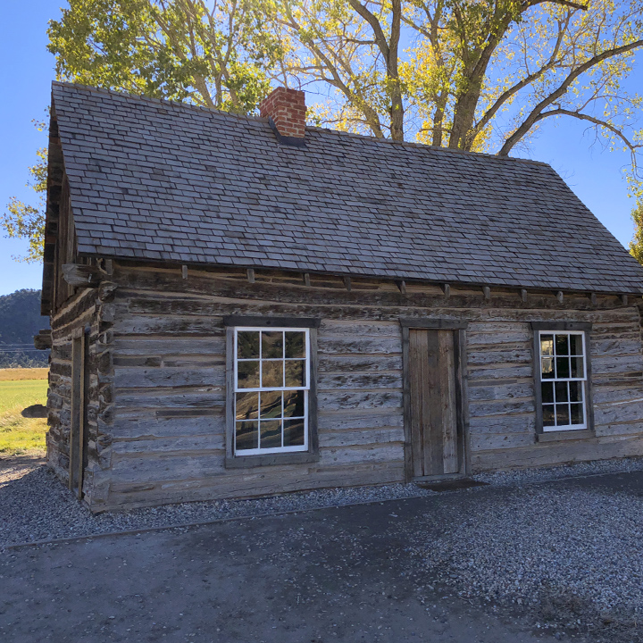
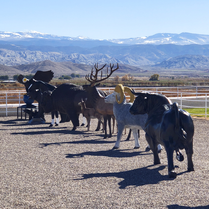
And later, this picturesque herd of indigenous fiberglass animals…
And a few real ones. It is said that in the 1860s there were tens of millions of Bison in the western United States—perhaps more than 50 million…
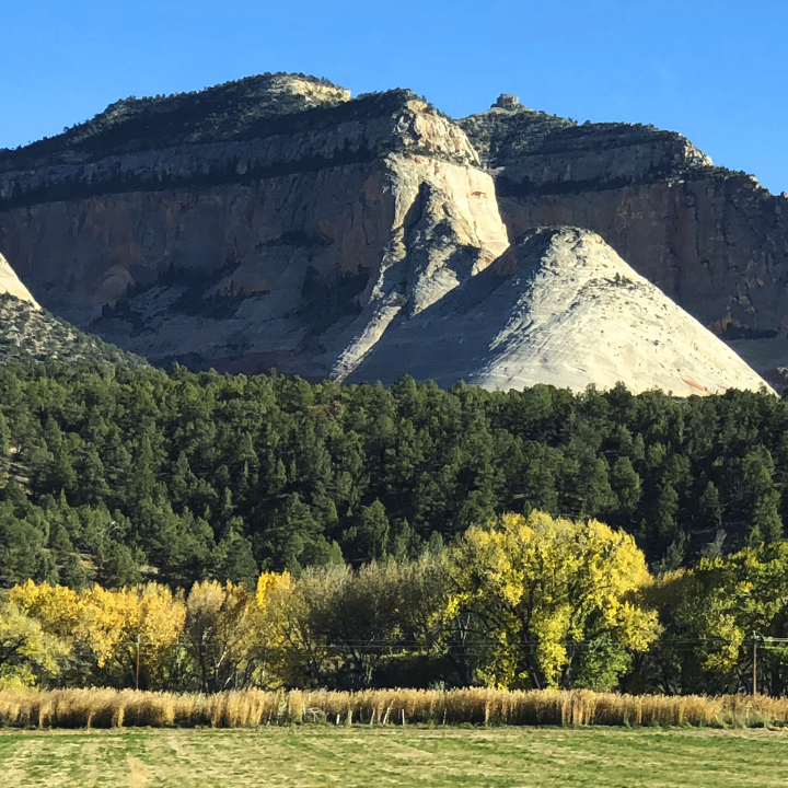
There is nothing like these big skies…
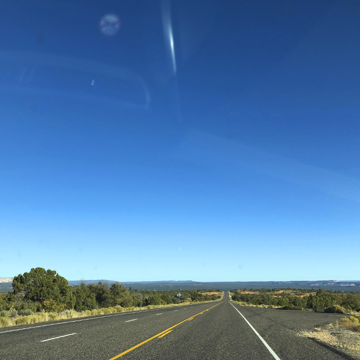
Its easy to see how people fall in love with the drama of Utah’s vastness combined the intimacy of spots such as this…
Day 5 | The North Rim of the Grand Canyon plus the surprising part
Today we’re off to the North Rim of the Grand Canyon National Park. It’s roughly three hours to travel the 80-some miles from Kanab, Utah to the Rim.
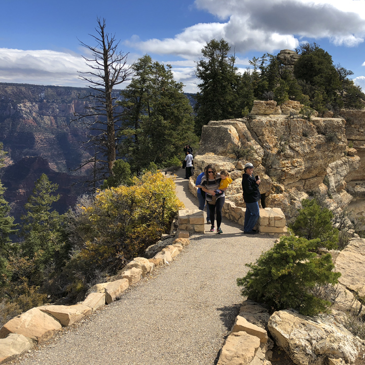
And the best view in that part of the park is Bright Angel Point—a short hike that takes you out to a point where you can stand at the top of the cliffs that plunge down thousands of feet to the rocky floor and the whitewater Colorado River.
It is, of course, beautiful. And dramatic, and ancient-feeling, and staggeringly massive. And even at the top, it is still and quiet—I got the same sense of space that I got standing on a rise across a valley from Mount Rainier or standing in the vast Washington National Cathedral.
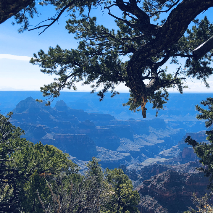
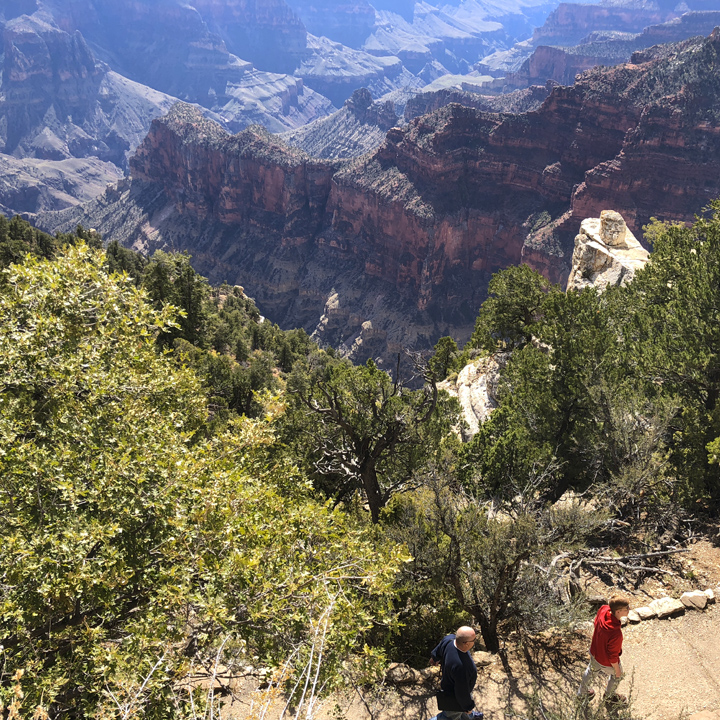
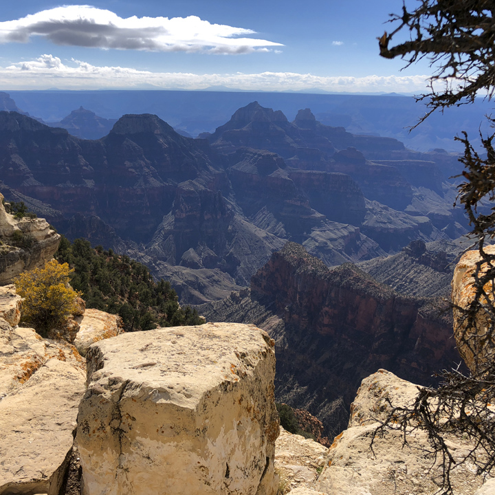
On Bright Angel Point, I made it out to roughly “Bright Angel P…” when my brain told me, hey, you’re about two feet from a precipice that’s the depth of four Empire State Buildings, STOP. As other folks continued unfazed, I sat on a rock next to a woman who was having a similar conversation with her brain.
We exchanged niceties about how beautiful it all was and how they’d have to bring in a mule train to drag us one step further. (To be fair, she did make it out there eventually—disappearing around the edge of a steep stone formation to the “…oint”.)
Leslie also made it further out than I did. (Notice the mom and her small child walking back up the path from the point, just trotting along seemingly unaffected—most moms are tough as nails.)…
BTW, one of the craziest hikes in the entire National Park system is Angel’s Landing in Zion National Forest. I wouldn’t even drive into the entrance to this place. Surprisingly though, the Park Service says there have been only eight deaths on Angel’s Landing since its establishment. (Obviously, this is not my video)…
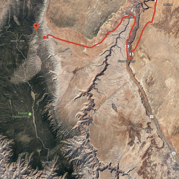
So, onward. To recount, in the morning we traveled south, down from Kanab, on Route 89A to Route 67 which takes you 50-some miles down to the North Rim of the Grand Canyon—the Rim is the sole destination of Route 67, so you re-trace your route back up to 89A to go anywhere else. In our case, we decided to take 89A up to Lake Powell and to visit the South Rim the next day.
Here’s the surprising part: That drive on 89A from Jacob Lake to Lake Powell, to me, was the highlight of the trip…
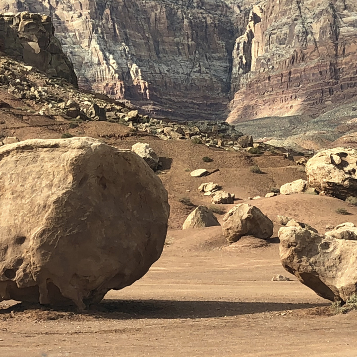
You come around a corner a few miles west of the Vermilion Cliffs National Monument and you see this—a vast stretch that is about as close to the surface of Mars as I can image. As far as you can see (and you can see FAR) is just scrub punctuated by soaring cliffs and a sky that you don’t have to look up at to see. It took my breath away…

No matter how wonderful virtual tourism can be (it’s certainly interesting to travel to remote corners of the world via Google Earth or the BBC’s Blue Planet), we all agree you simply don’t get the sense of a place you get when you stand in that particular place, feel the sun on your shoulders, hear the sounds, and experience the experience…

There is nothing (and everything) here. No houses, just an occasional fence or dirt road headed off into the middle of nowhere. Not even much in the way of other vehicles. We found a place to get off the highway and drove out into the valley just to listen. It is the quietest place I’ve ever been…


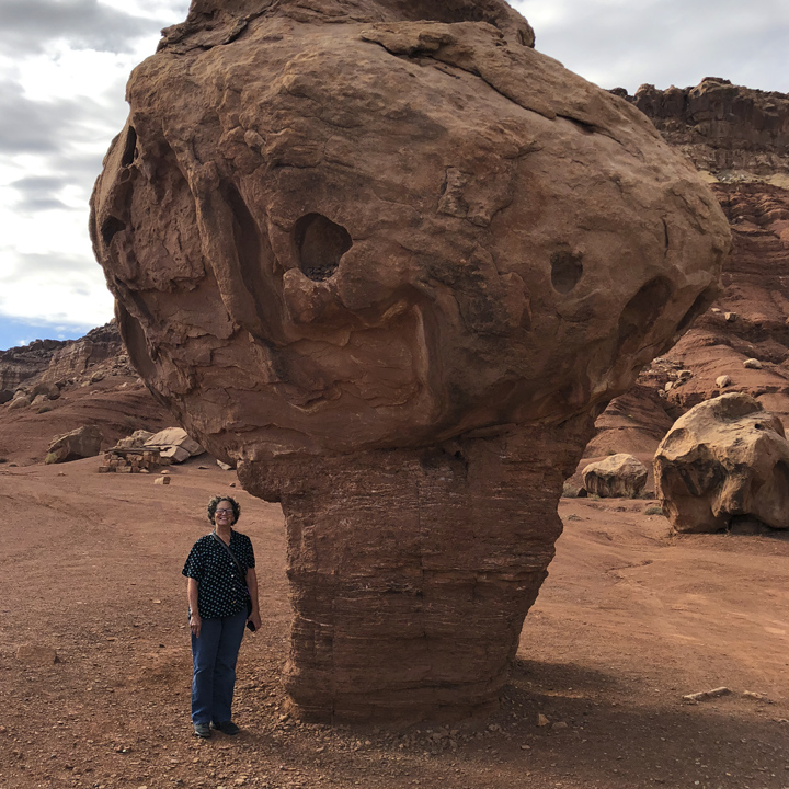
Before you head up to Lake Powell, you pass through Marble Canyon. (Haha… tourist pose.)…
And over the Navajo Bridge…
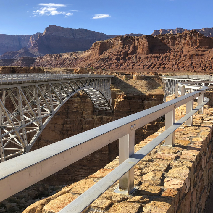
Which traverses the Colorado River…
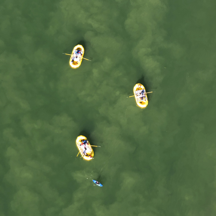
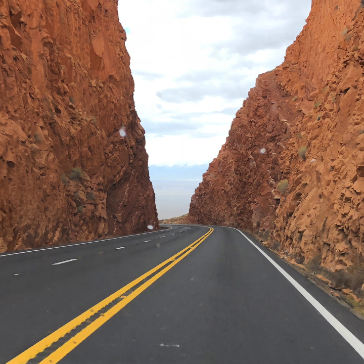
Then up through the pass…
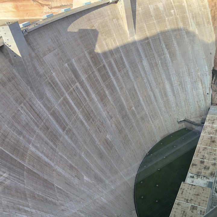
To Lake Powell…

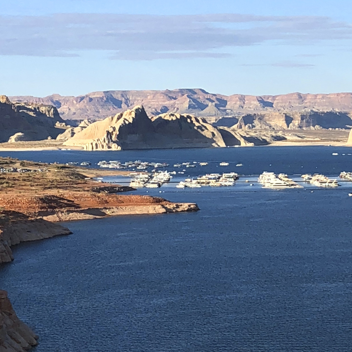
Day 6 | The South Rim of the Grand Canyon
Today we’re off from Lake Powell down Route 89 to the South Rim of the Grand Canyon. Just to put it in perspective, one source tells us the South Rim has ten times more visitors than the North Rim we visited yesterday. Yes it is more touristy and I can imagine that in summer, at the height of the season, it could get down right crowed, but on October 21st, 2018, the weather couldn’t be better and the crowds are easy to sidestep.
Above the park, the landscape continues to morph dramatically and unpredictably…
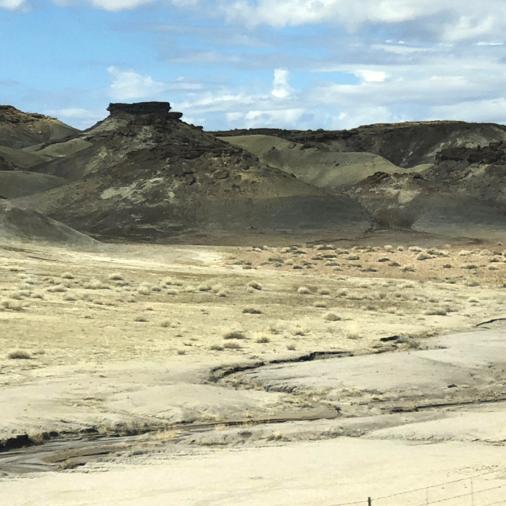
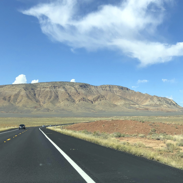
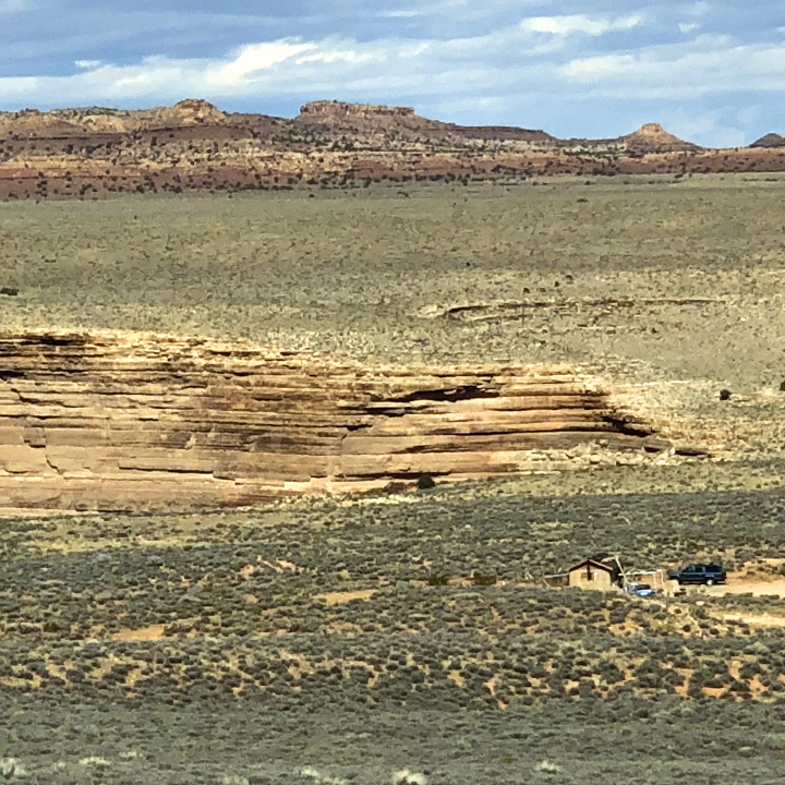
To reach the canyon, you travel up from Route 89, roughly 30 miles to the Desert View Watchtower…
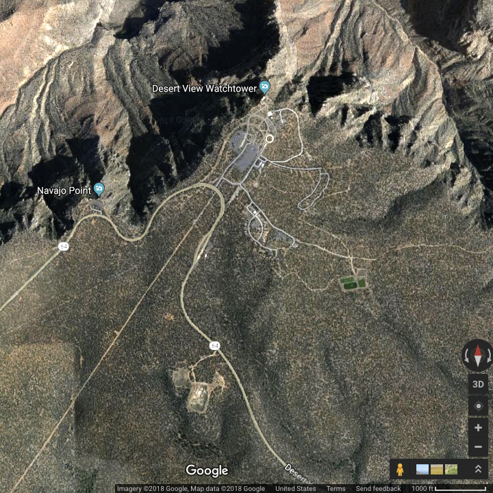
—not a bad place to start… (Looking at this on a mobile device? Use the pinch-to-zoom gesture to see detail of the images—especially the panoramas.)

The pictures speak for themselves…

BTW, many of these are Leslie’s images. She has a good eye…
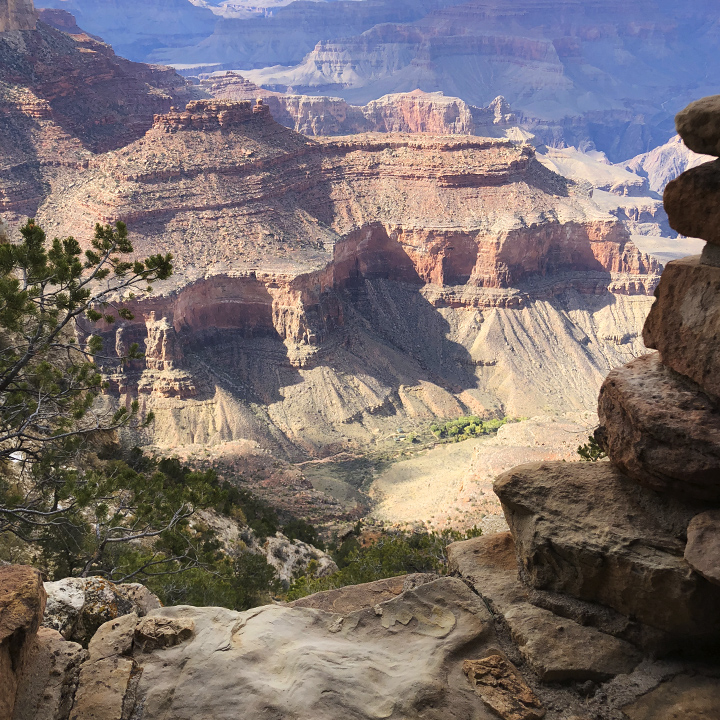
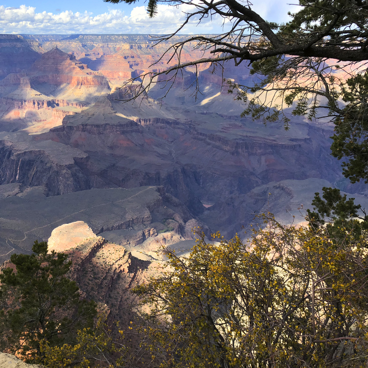
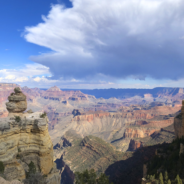
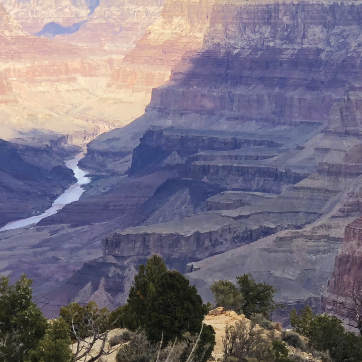
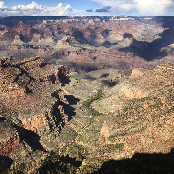
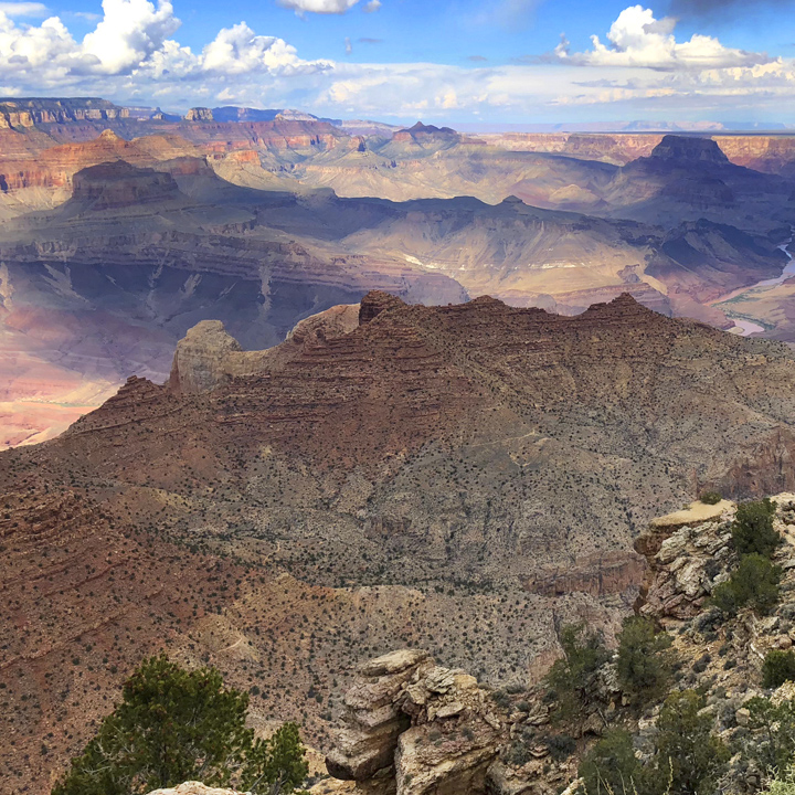
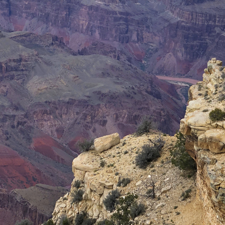
You can Streetview the Grand Canyon here…
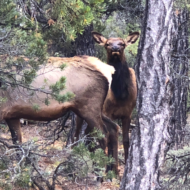
We’re seeing more wildlife here…
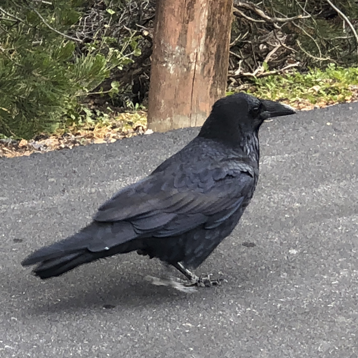
Including giant, meandering crows…
A couple of six foot creatures surveilling us as we park…
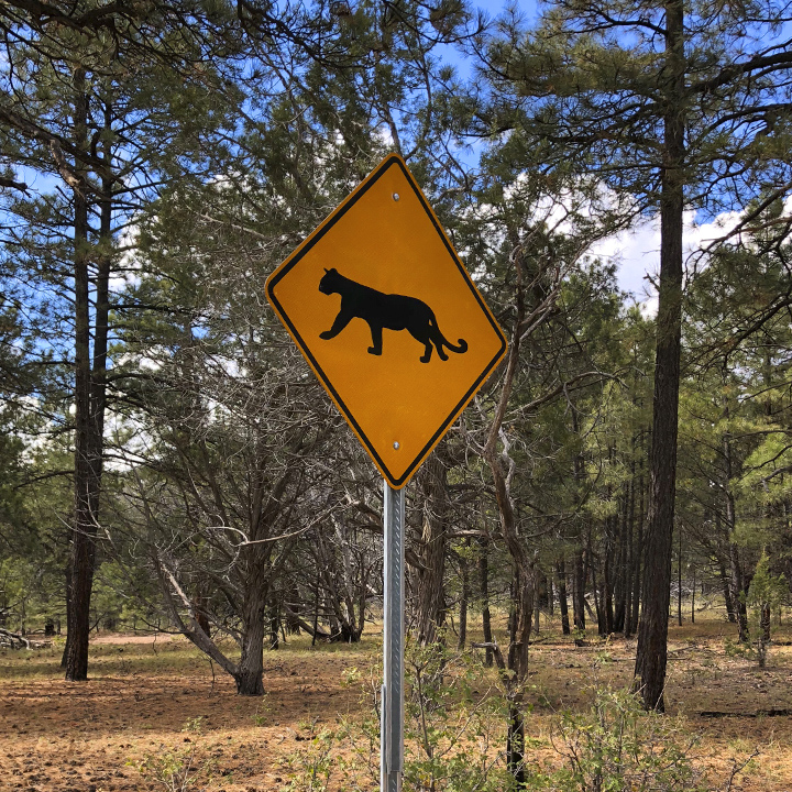
And warnings about others…
Late in the day, making our way to Flagstaff to spend the night, we stopped at a “Rocks & More” in Bedrock City—a Mobil gas station with an alternate personality…

Day 7 | Through the Pumphouse Wash gorge to Sedona
It’s a mere 150 miles from Flagstaff to tonight’s destination Phoenix, Arizona. For the much of the day we’ll be in the 1.8 million acre Coconino National Forest—specifically heading down 89A to Sedona. It is another drive full of surprises. First, a long stretch of rolling hills followed by a series of wild hairpin turns up through the Pumphouse Wash gorge and into a series of canyons that bring the vast distances of recent days, right in to where it seems as if you can touch them.
In no particular order…
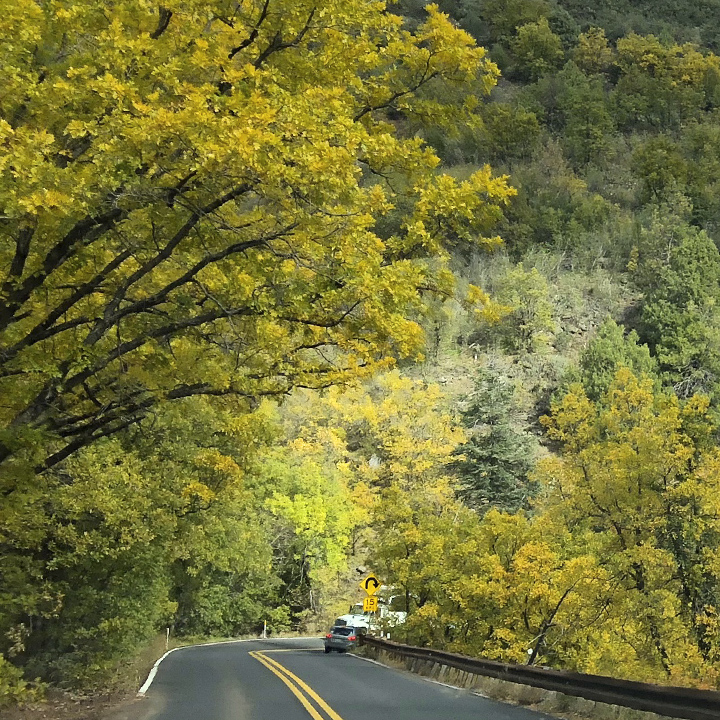
(Looking at this on a mobile device? Use the pinch-to-zoom gesture to see detail of the images—especially the panoramas.)

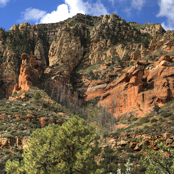
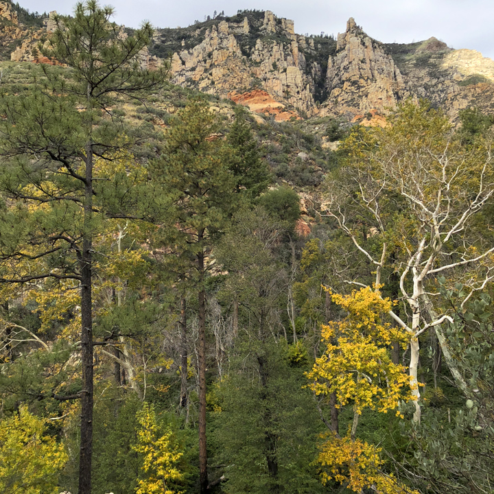
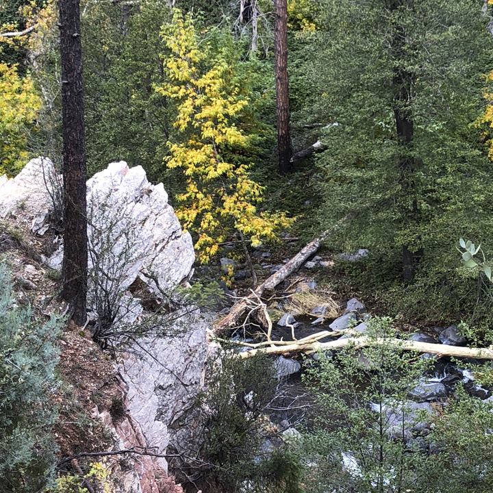
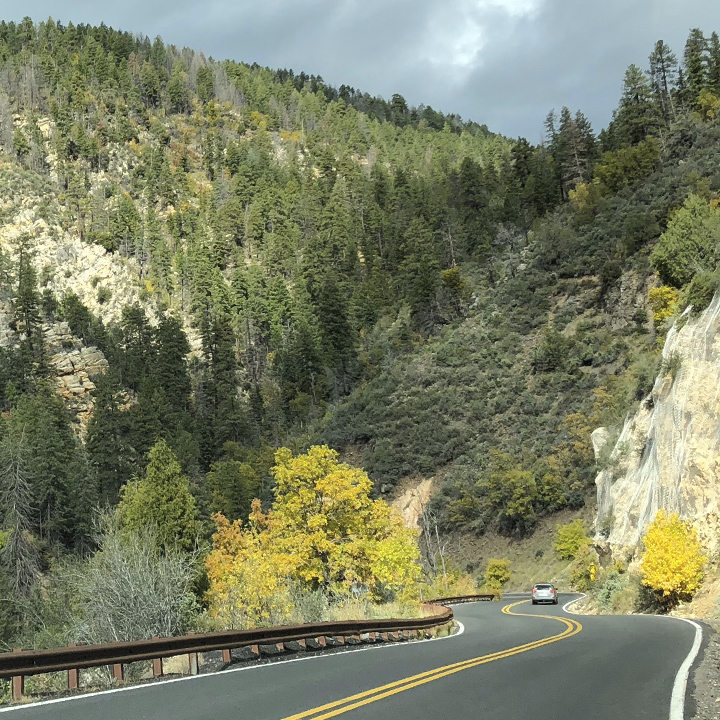
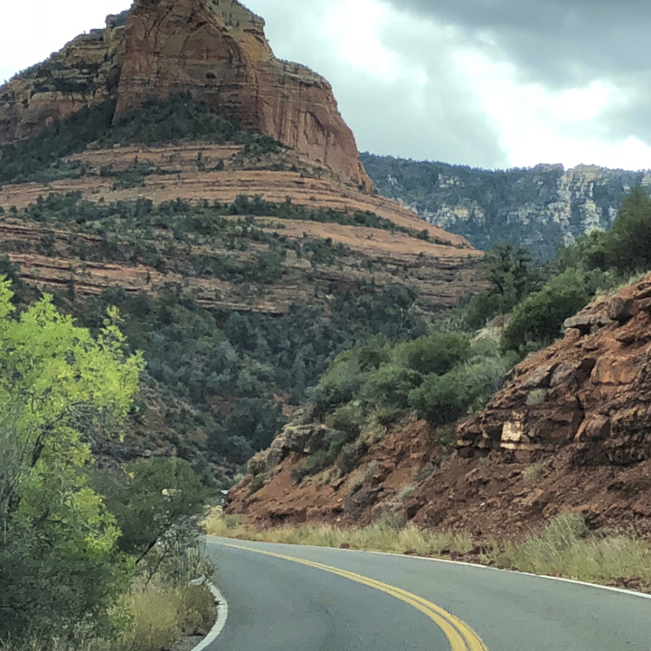
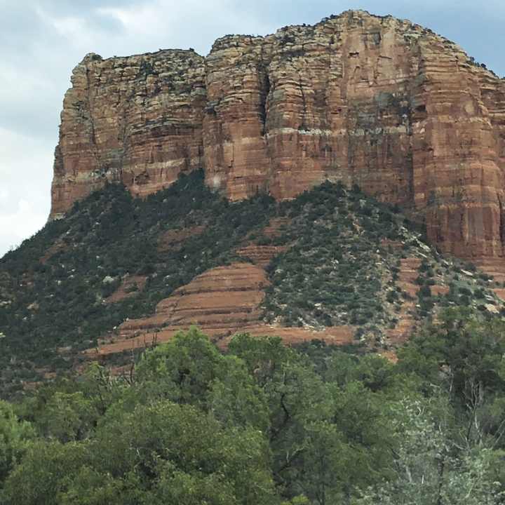
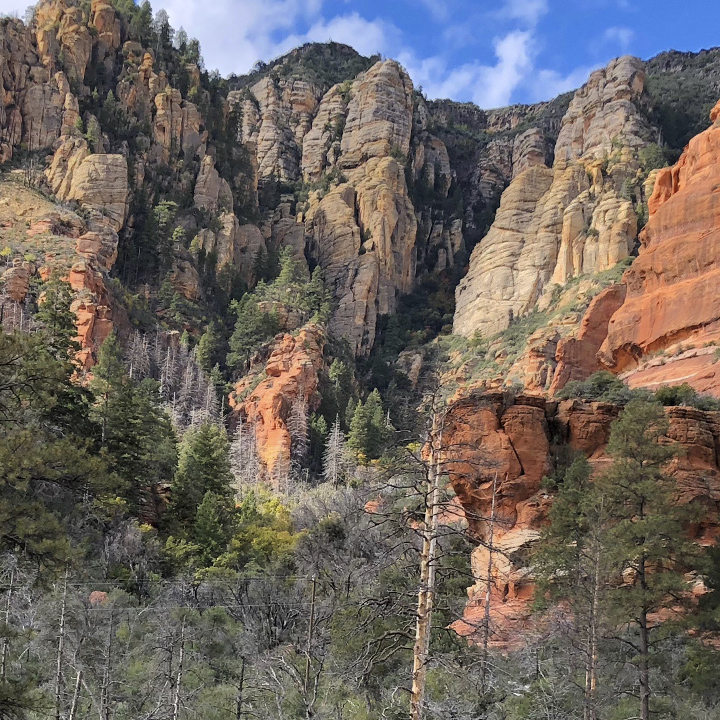
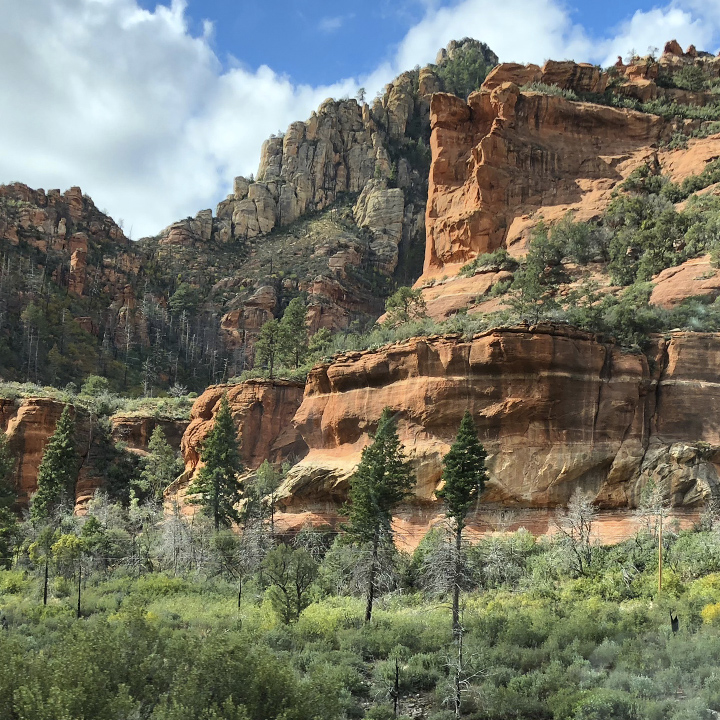
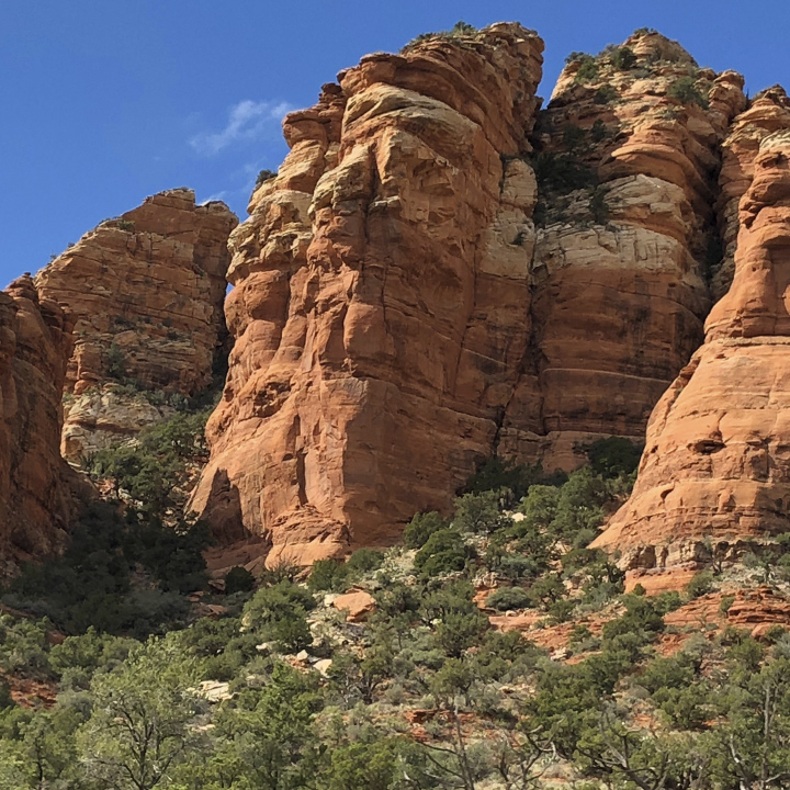
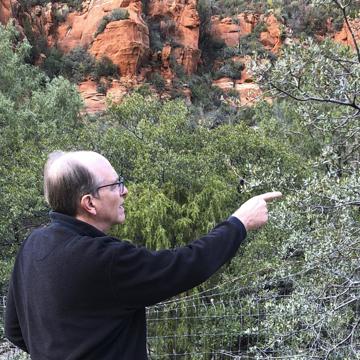
Point to a tree Chuck. Well done…
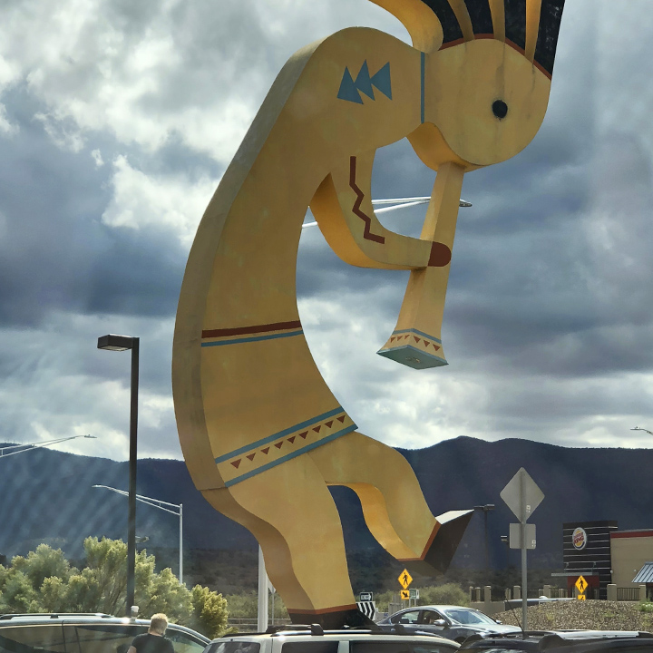
This, if you hadn’t already guessed, is the World’s Largest Kokopelli—why we stopped here, I have no clue because, until we did, I had no idea what a Kokopelli was…
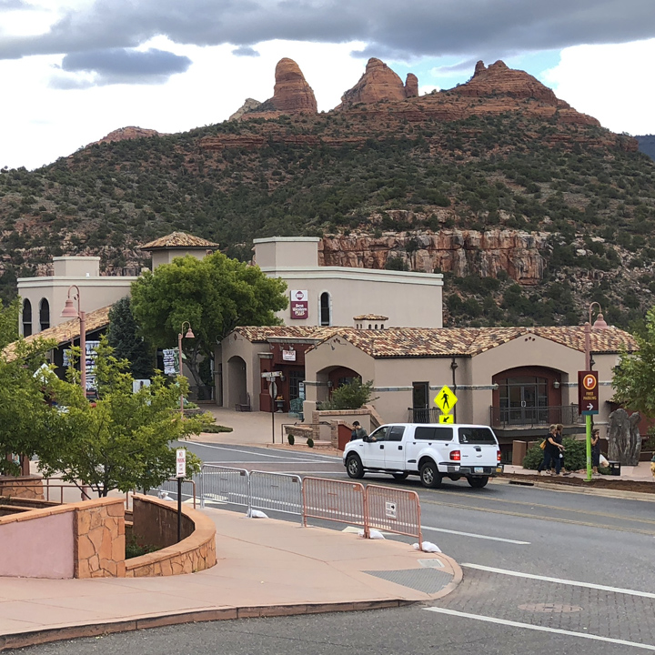
Mid-day we roll into the eclectic town of Sedona—part new age mecca and a bit of what seems like a tourist trap…
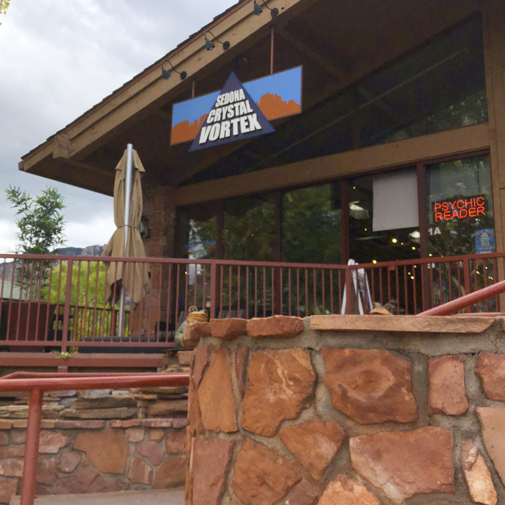
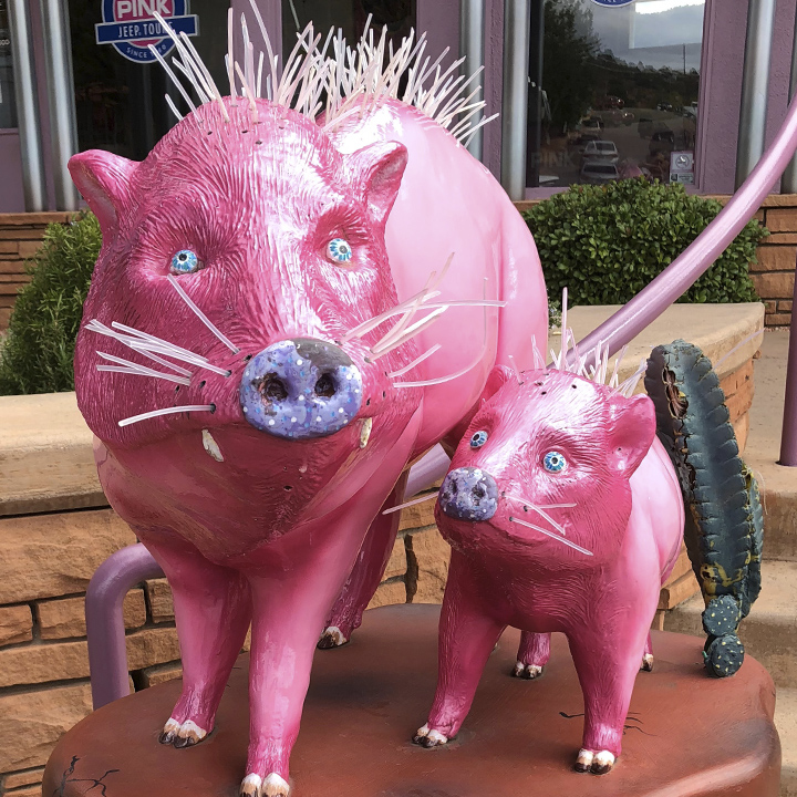
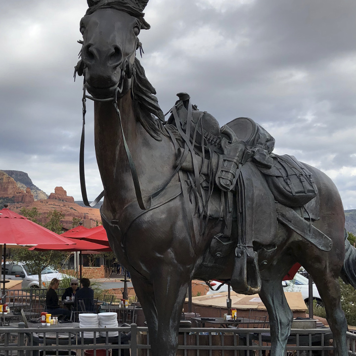
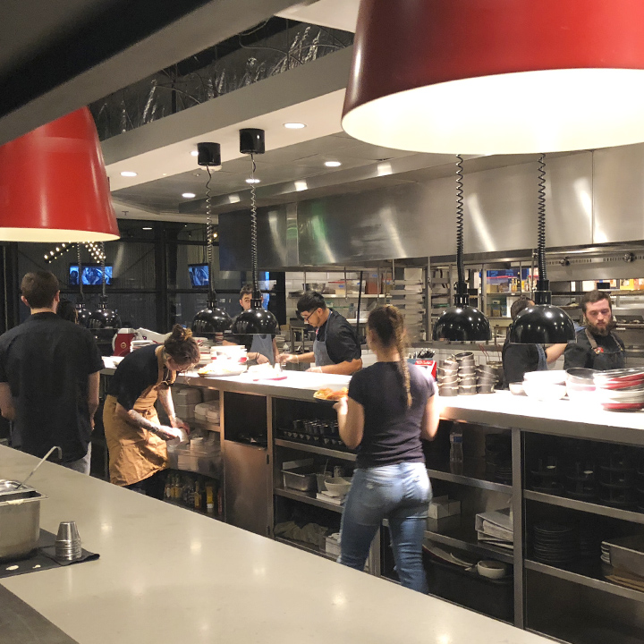
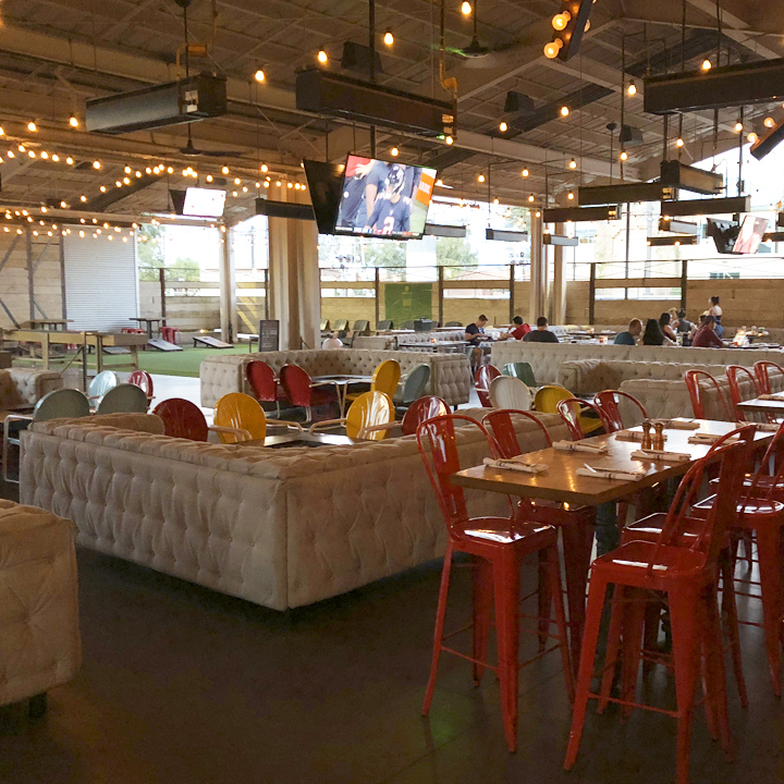
Tonight we’re in Arizona’s largest city, Phoenix—to be precise, in the East Valley city of Tempe—technically part of the greater Phoenix area. Ending the day with a lovely dinner at Culinary Dropout…
Day 8 | Eye party
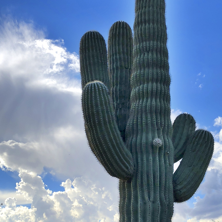
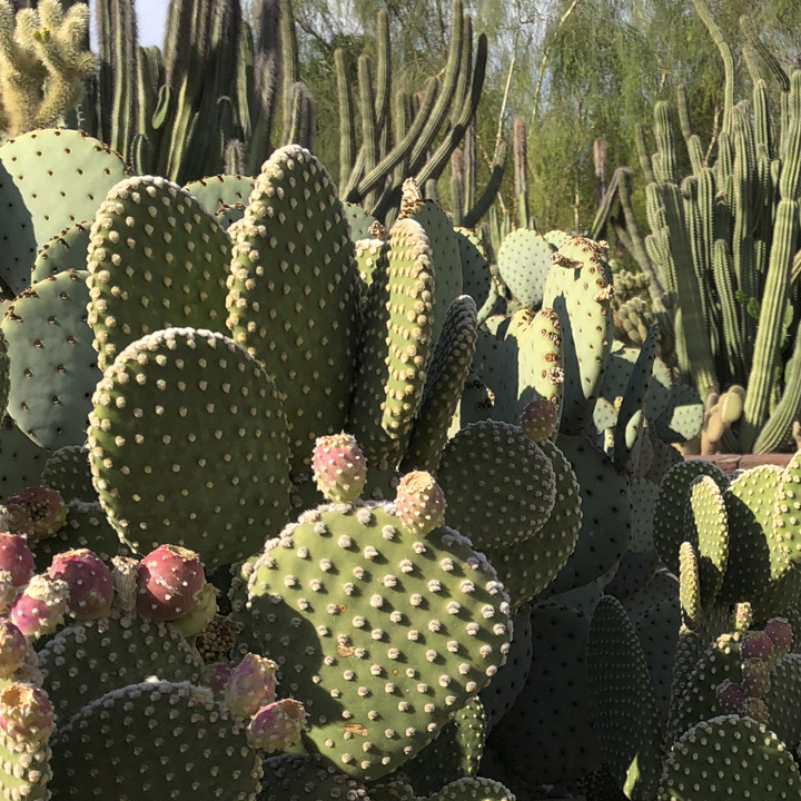
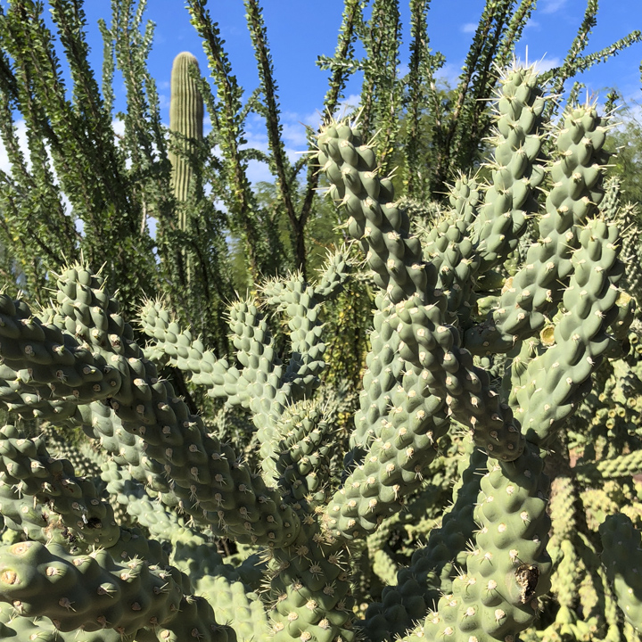
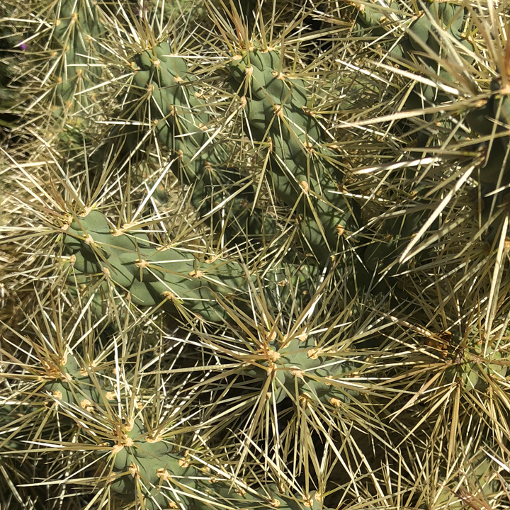
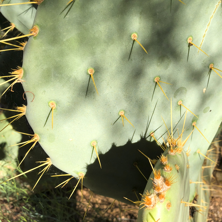
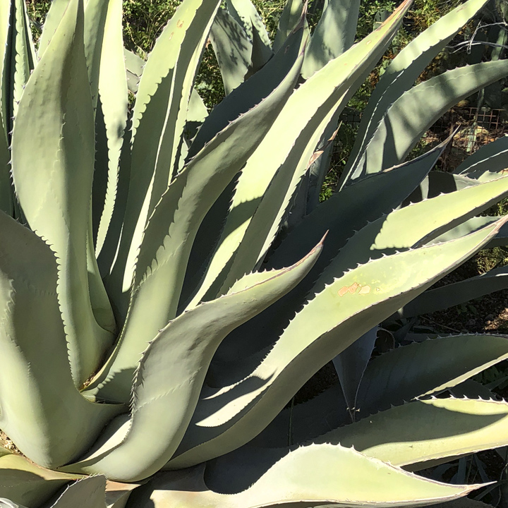
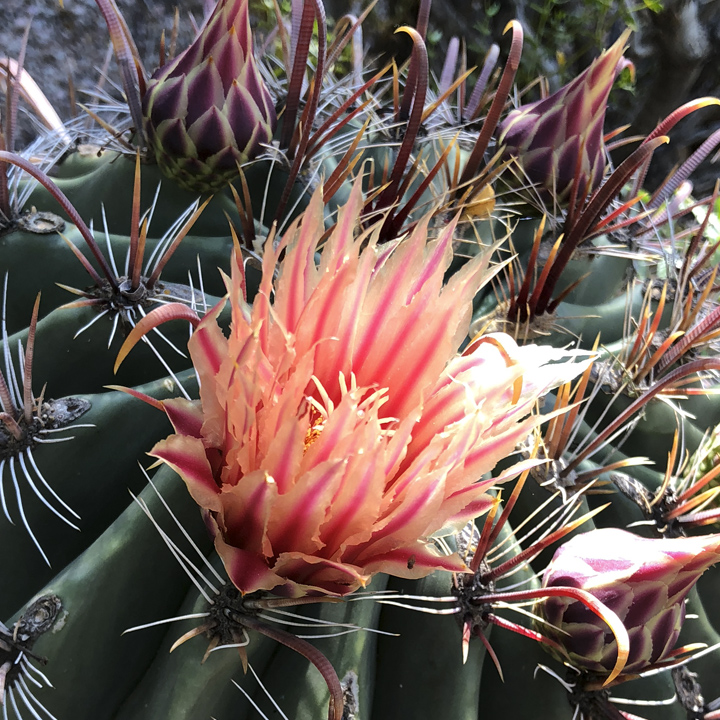
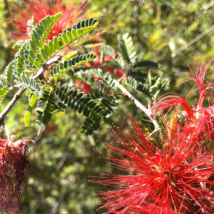
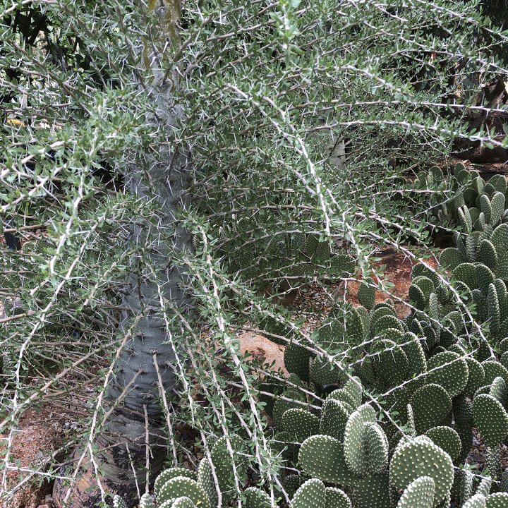
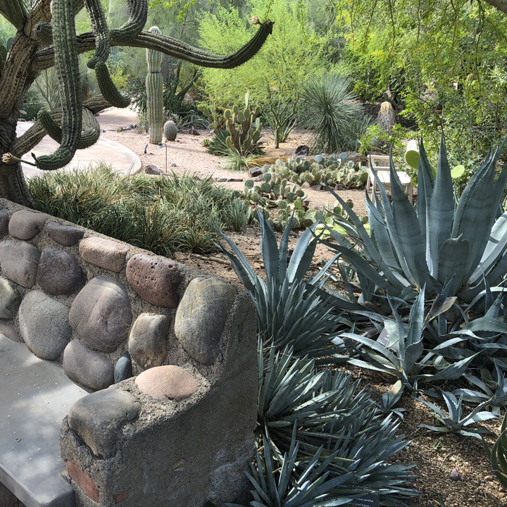
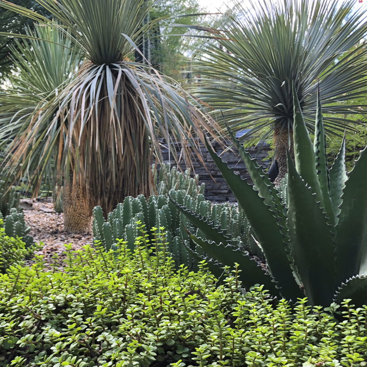
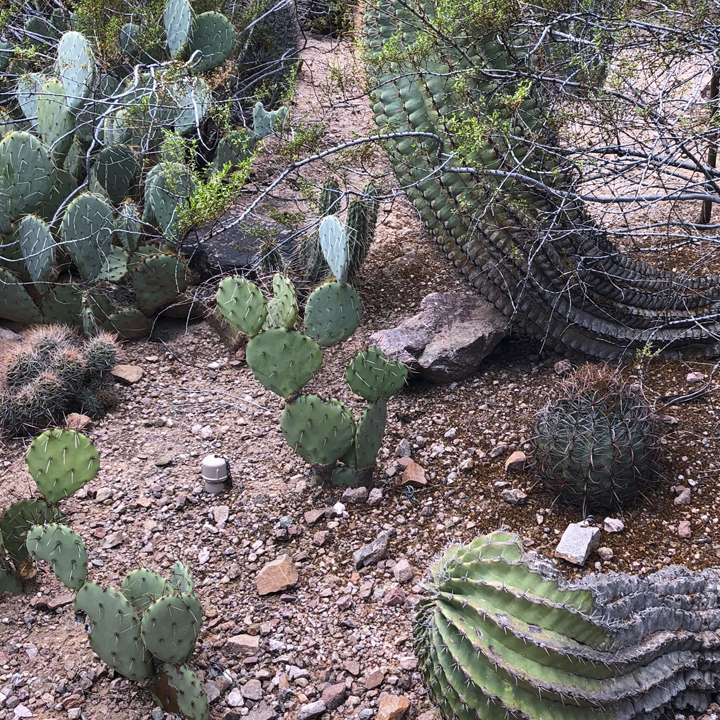
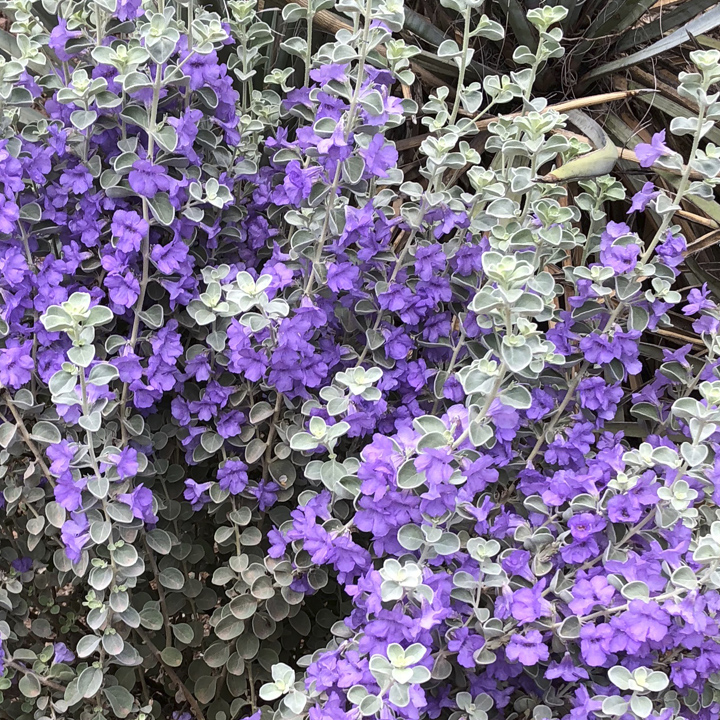
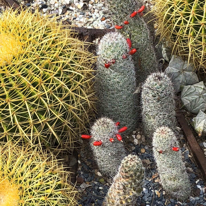
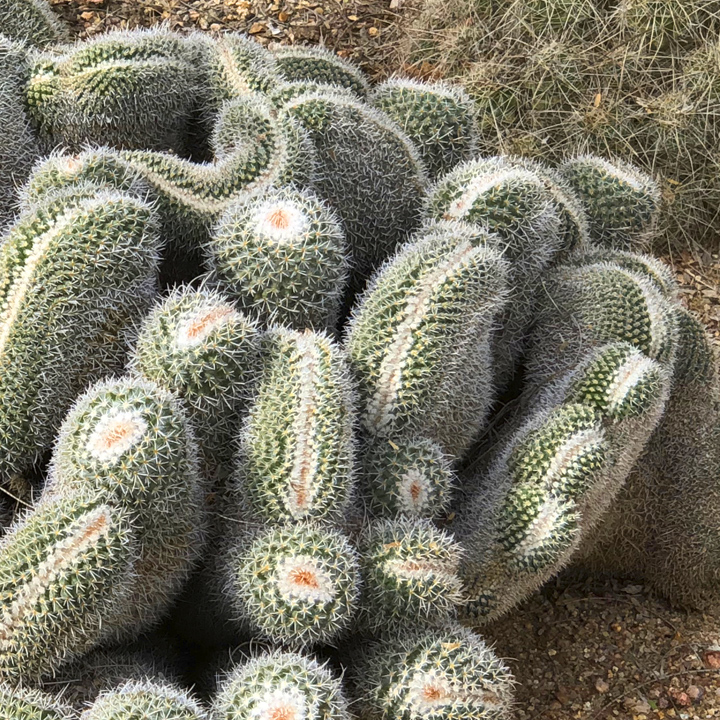
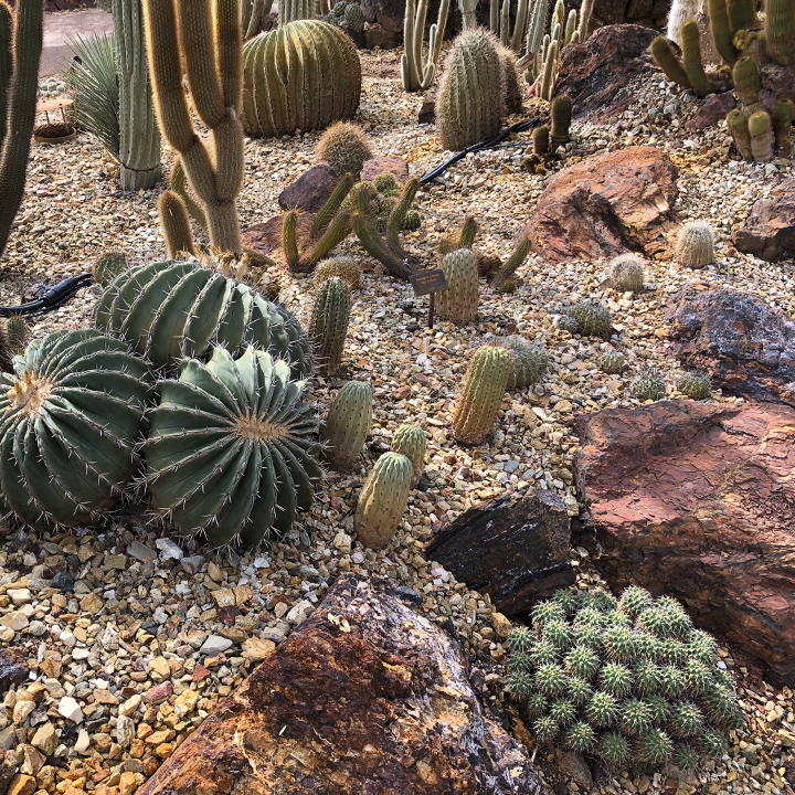
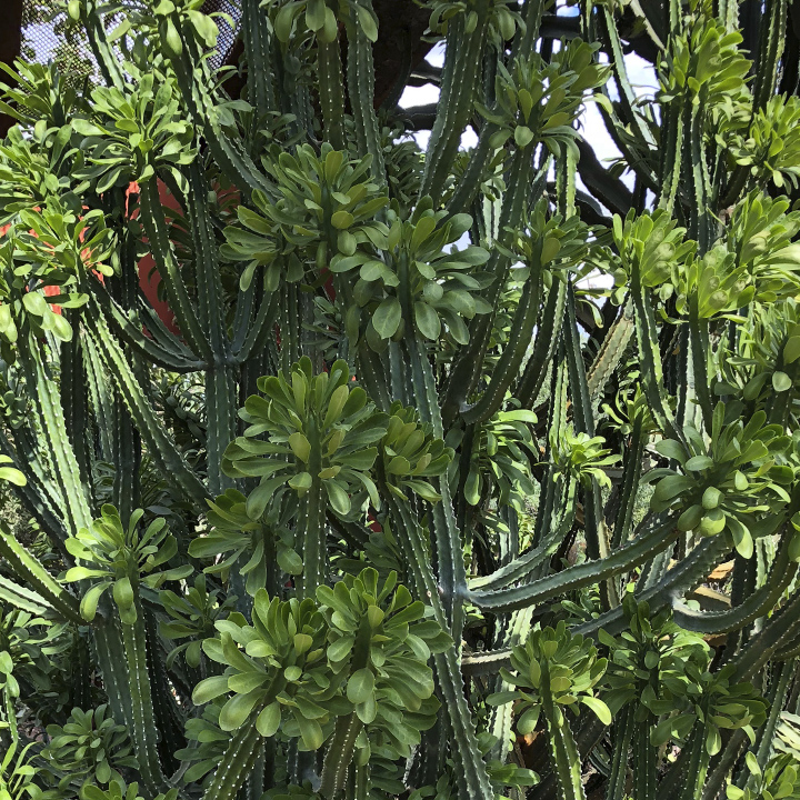
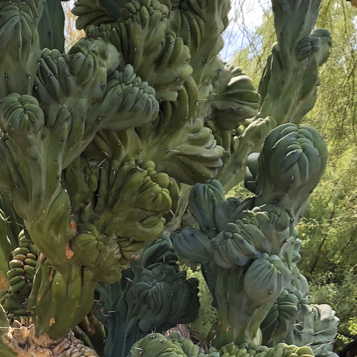
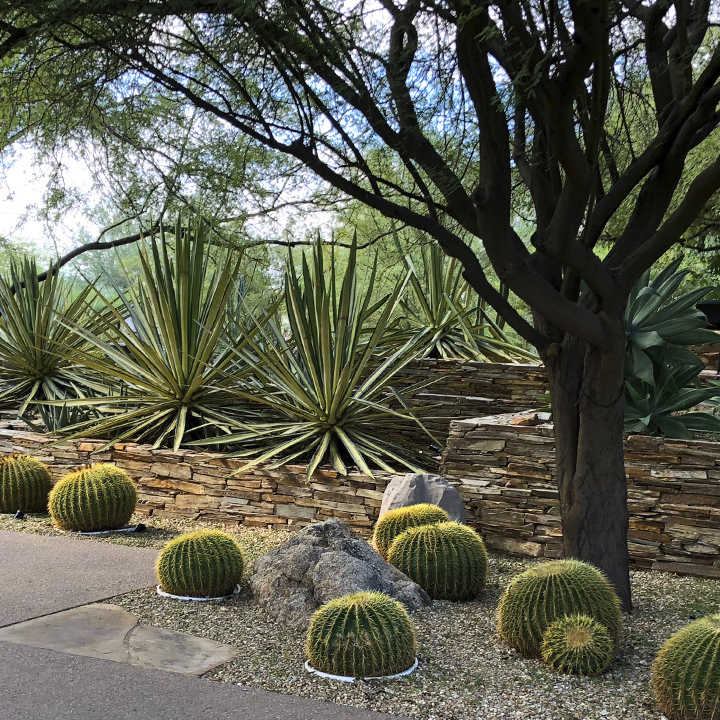
I told you on Day 1 that we visited the Denver Botanic Gardens. Much of that garden is under roof because Denver winters are not particularly forgiving. But today’s primary destination is the Desert Botanical Garden in Phoenix, a 140 acre property that was established in 1939. Wikipedia tells us “the garden now has more than 50,000 plants, in more than 4,000 taxa, one-third of which are native to the area, including 379 species, which are rare, threatened or endangered”. A bit of history about the garden can be found here.
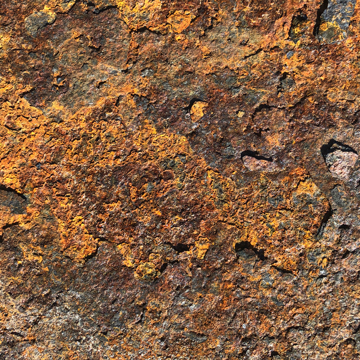
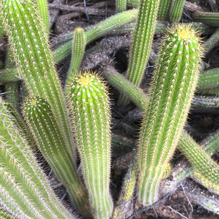
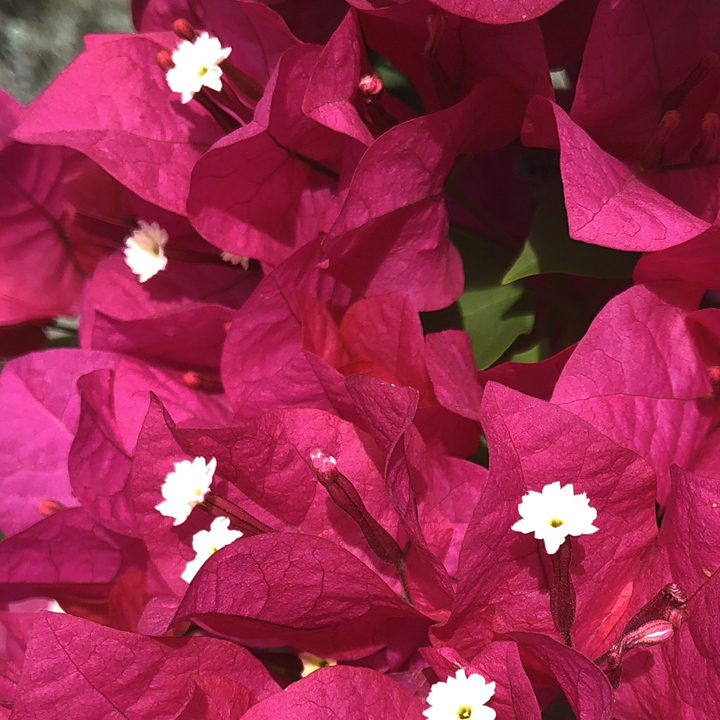
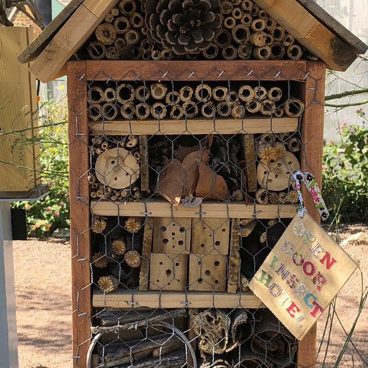
It is a feast for the senses and if I had never seen the occasional, mostly miniature, examples of some of these plants previously, I would have sworn I had been dropped on different planet. What a treat.
Randomly…
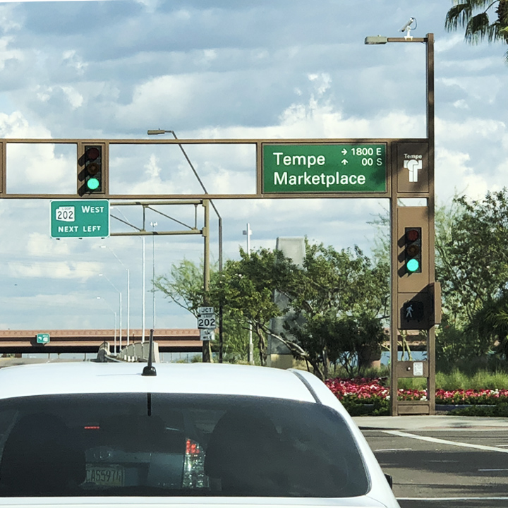
By the way, the designer in me notes that Tempe, the part of metropolitan Phoenix we stayed in last night, combined their street signage with the traffic signal—unusual and stylish.
In the afternoon we visited the Heard Museum and its American Indian art collection…
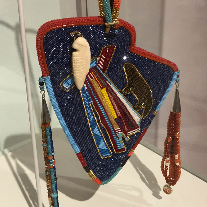
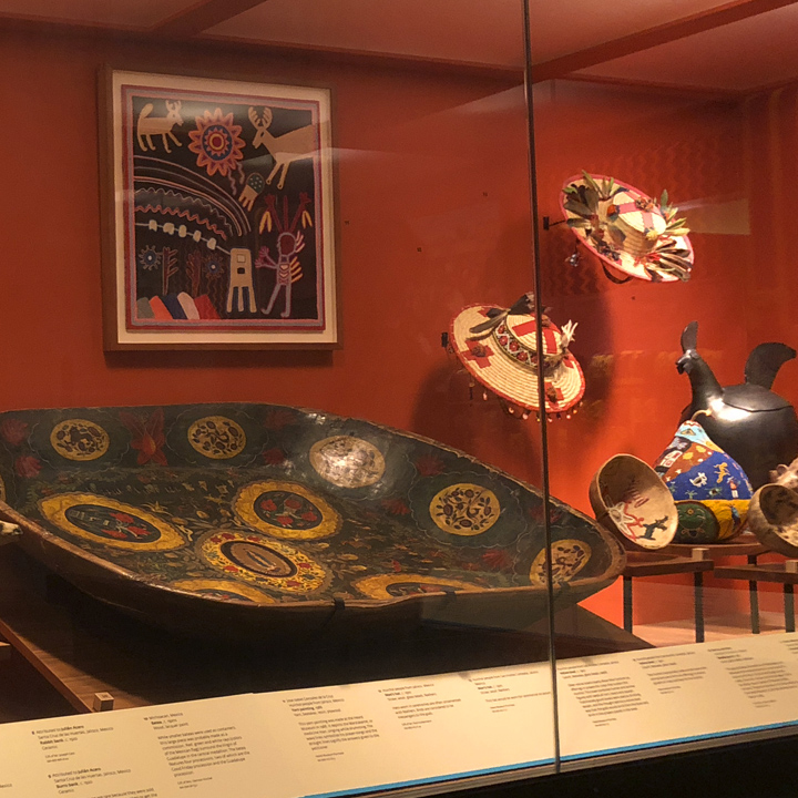
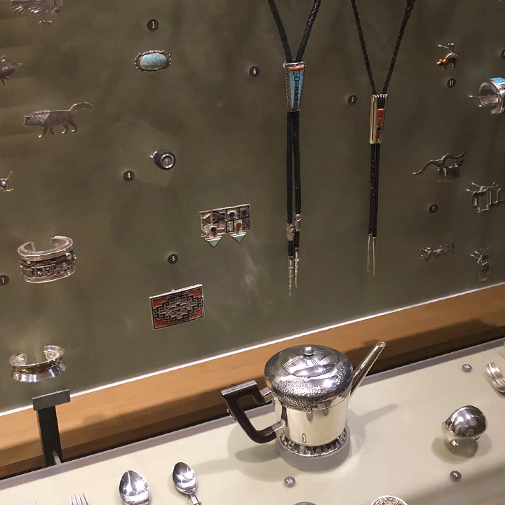
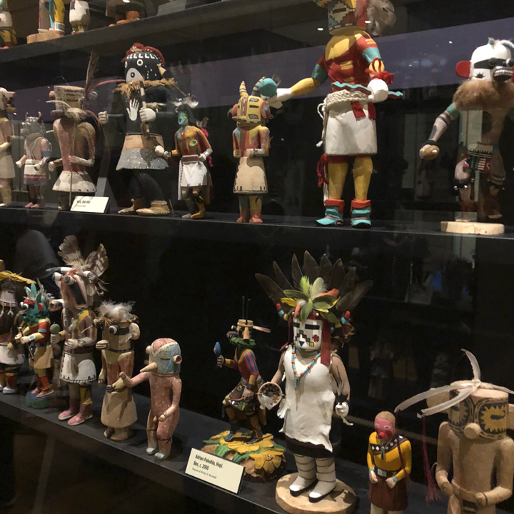
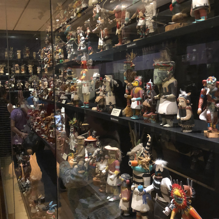
You know, you’d think that being a graphic designer makes me a fan of fine art—I’m really not. I can appreciate and respect it, but I much prefer illustration (as you’ll see in a couple of days). I think it has to do with the fact that fine art is mostly self expression while an illustration plays a role in some sort of endeavor. Yes, it’s quirky (and I realize no one cares what I think) but every time I go to an art museum, I am reminded of what a weirdo I am.
Day 9 | South to Tucson
Today we make the short trip (roughly 115 miles) from Phoenix to Tucson, Arizona.
First, a morning walk on a lovely street behind the hotel…
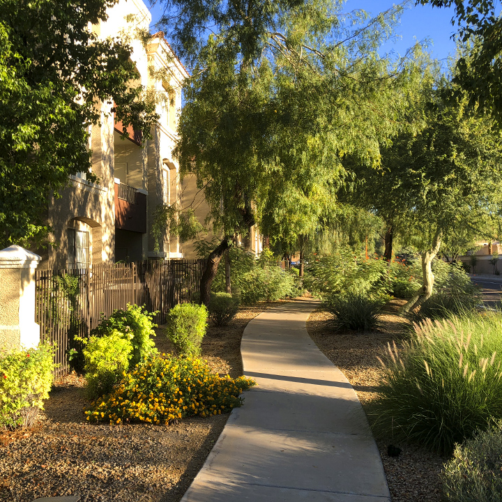
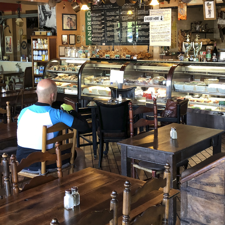
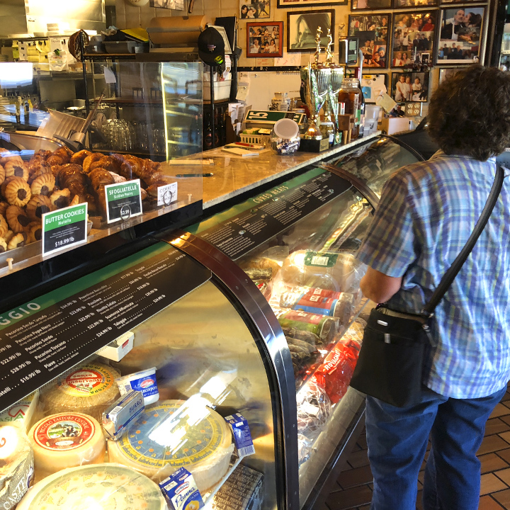
Before leaving the Phoenix/Scottsdale area, we visit Lior The Baker, and this place, Andreoli Italian Grocer, one of many interesting spots featured on the Food Network’s Diners, Drive-ins, and Dives…
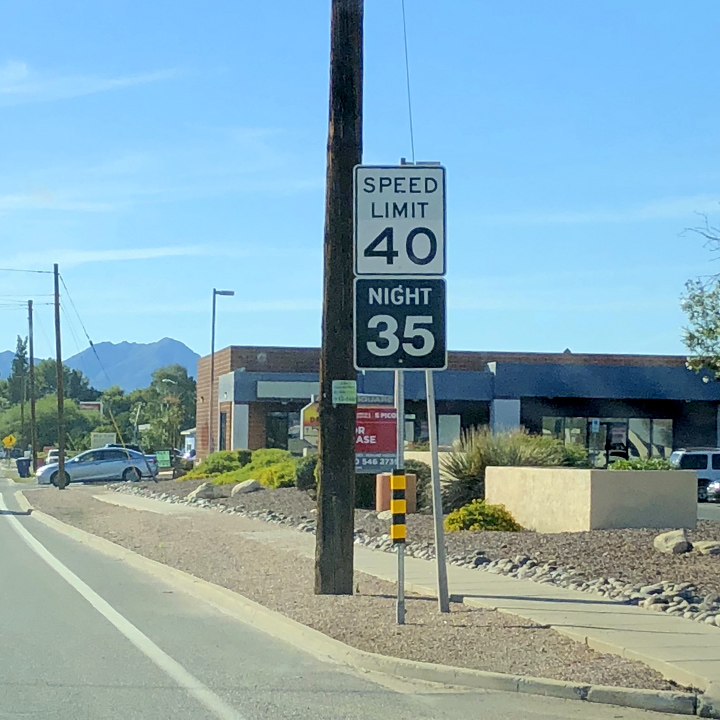
First time I’ve seen a day/night speed limit sign…
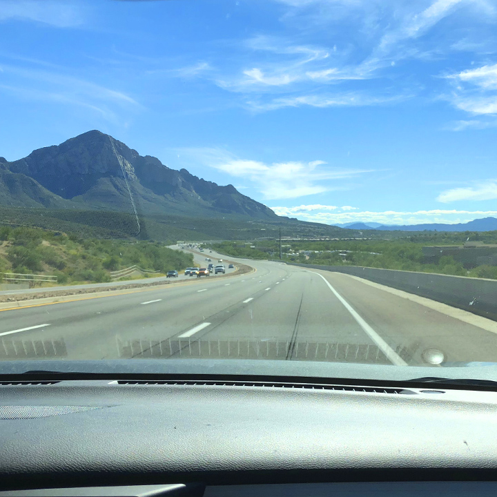
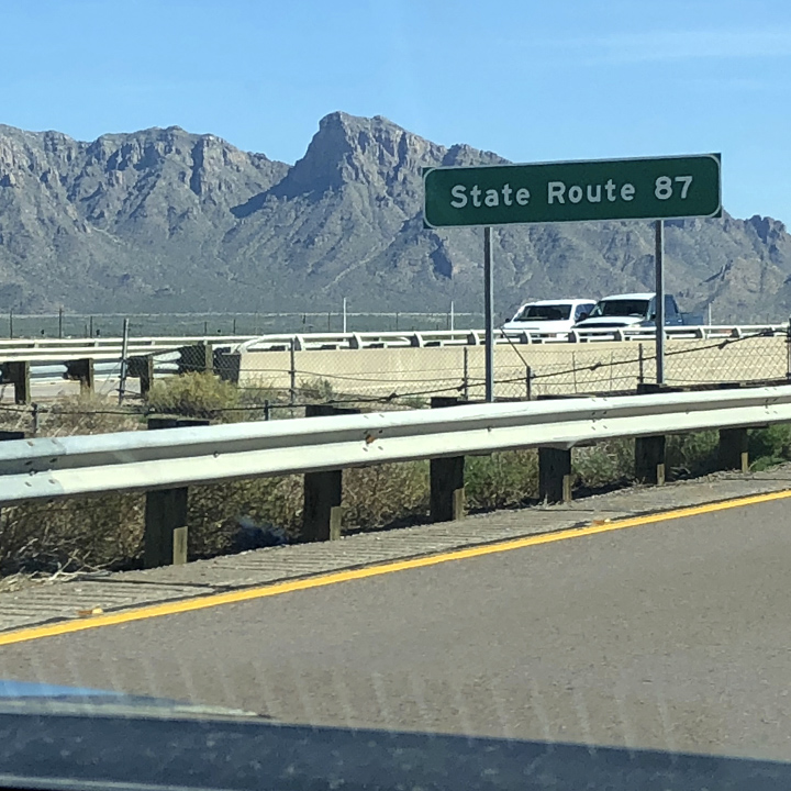
We’re heading off the interstate to take the back road down Route 87…
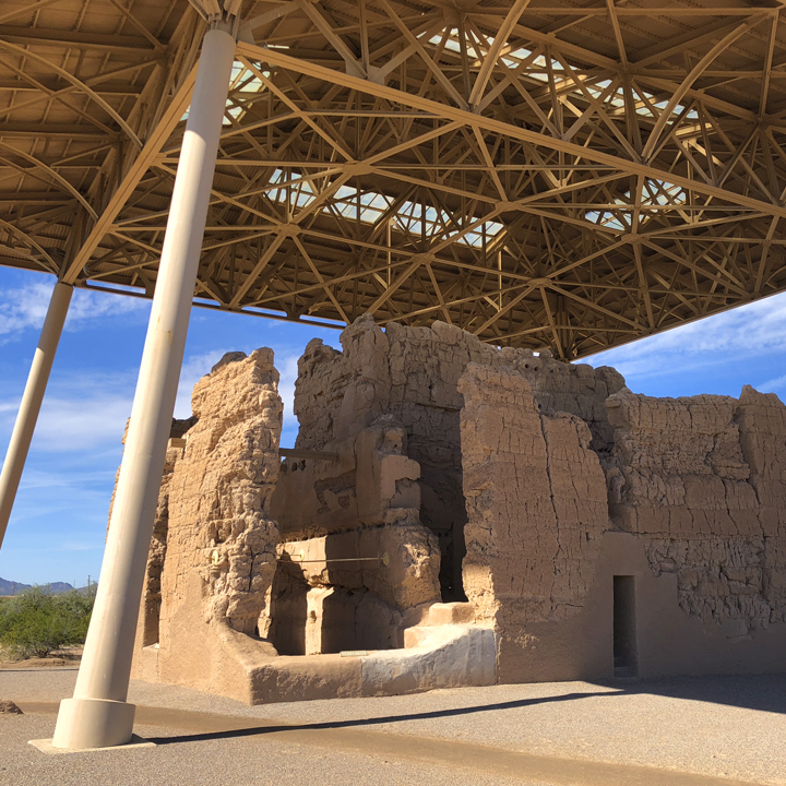
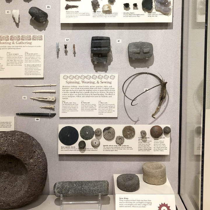
In the afternoon we stop at a National Monument: Casa Grande Ruins.
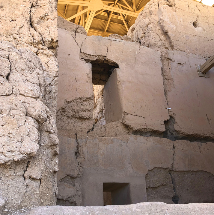
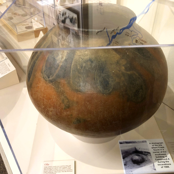
It consists of the “ruins of multiple structures surrounded by a compound wall constructed by the ancient people of the Hohokam period, who farmed the Gila River Valley in the early 13th century. ‘Archeologists have discovered evidence that the ancient Sonoran Desert people who built the Casa Grande also developed wide-scale irrigation farming and extensive trade connections which lasted over a thousand years until about 1450 A.D.'”…
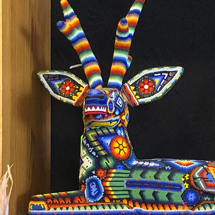
The final stop of the day, in Tucson, is Native Seeds/SEARCH a nonprofit seed conservation organization, where I spotted this beaded sculpture…
Day 10 | The unexpected things that make a vacation memorable
You expect certain things when you go to certain place—on this trip, obviously, we expected to see some spectacular scenery. But on day 10 we had a few wonderful experiences we did not plan for or expect.
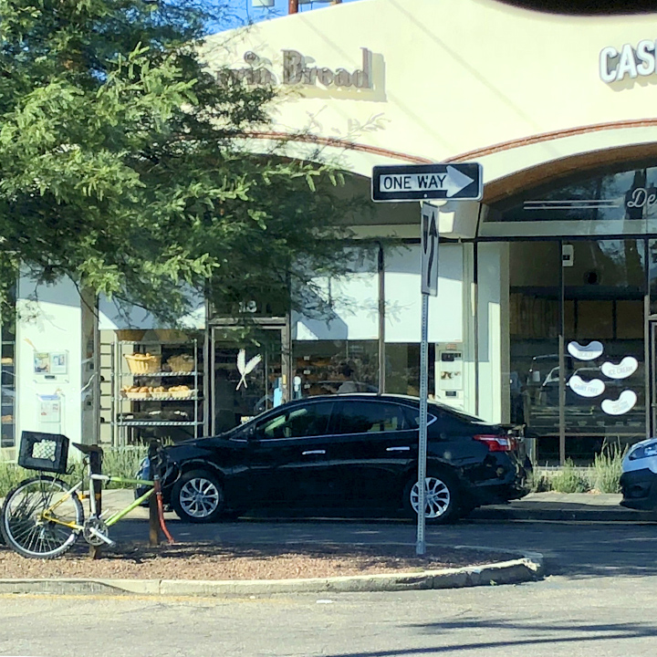
First stop in Tucson: Barrio Bread, home turf of Don Guerra (Barrio is Spanish for neighborhood). Here’s a nice piece about Guerra and his mission > Here <…
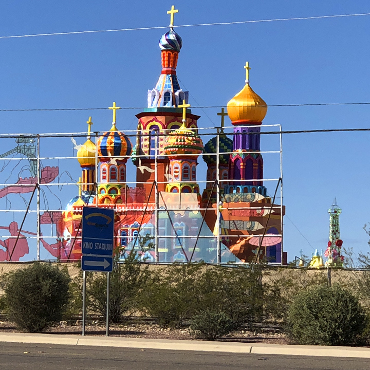
Wandering around South Tucson we ran into this; the staging of the Tucson showing of the Lights of the World Festival—weird and unexpected…
But the high point of the morning was a late breakfast at Seis Kitchen—located within an oasis courtyard behind a plain-looking facade of shops a few blocks west of the Santa Cruz River.
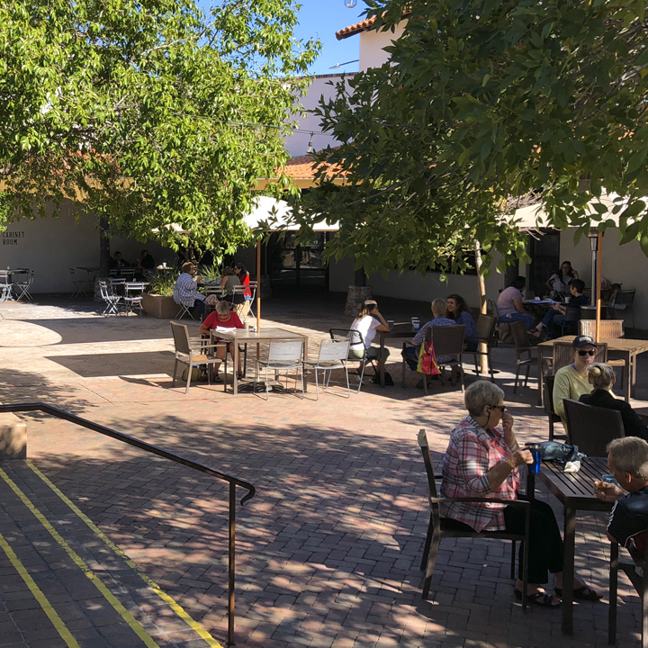
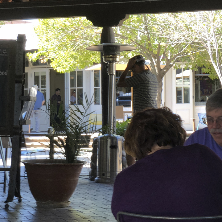
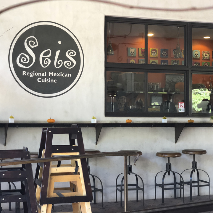
This was the best food of our trip—the Chorizo con Papas Tacos was one of the best things I’ve ever eaten…
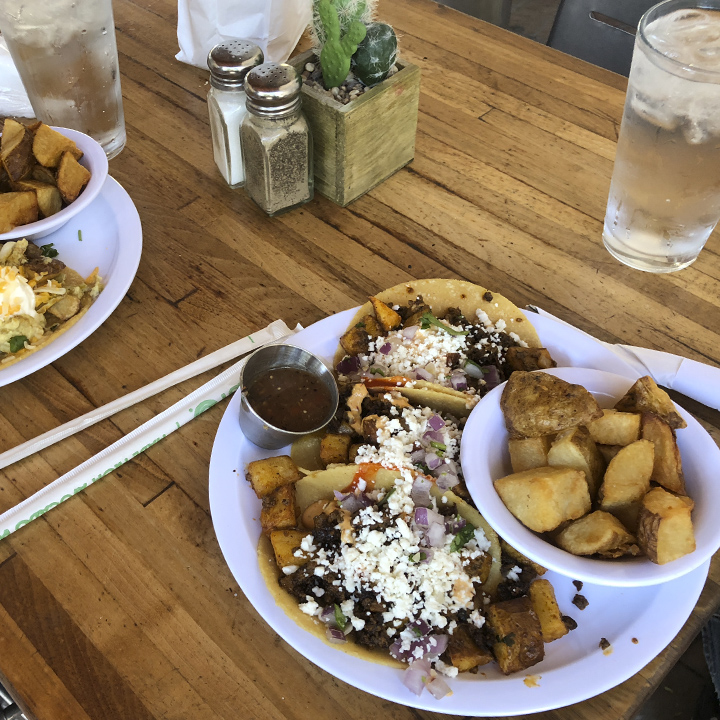
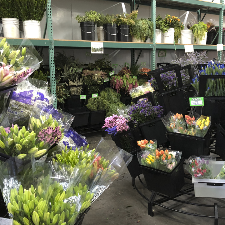
This afternoon we’re running back up to Phoenix to stay overnight in preparation for the next day’s long ride up to Gallup, New Mexico. On the way, we ran across a flower warehouse…
Thus far, we haven’t seen much of anything related to the cowboy culture of the southwest so, checking for possibilities, we come across a listing for The Wells Fargo History Museum in Phoenix—located in the downtown headquarters of the Wells Fargo Bank.
We hadn’t seen it mentioned in our readings and it appeared unassuming from the outside, so what we found inside was unexpected.
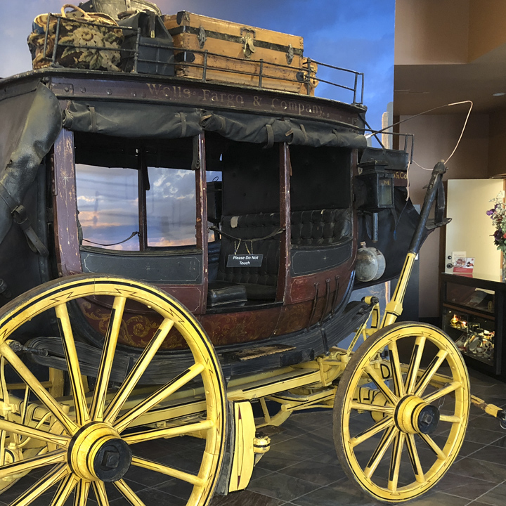
The exhibition centers around this authentic Wells Fargo stagecoach—I hadn’t really considered what an important role the Wells Fargo Company played in the evolution of the United States and, in particular, the western gold rush, the banking system, and the early transportation of people and goods.
But, in addition to offering a fascinating took at the 19th century west, The Wells Fargo History Museum features a jaw-dropping collection of paintings (among others) by renowned American artist and illustrator N. C. Wyeth (father of Andrew Wyeth) and bronzes by greats including Frederic Remington and Ernest Berke.
WOW. For N. C. Wyeth fans (I am one), this was like finding treasure. I wish I could show you some of the pieces, but, as with many galleries, they do not permit photographs of the paintings and bronzes for purposes of copyright protection.
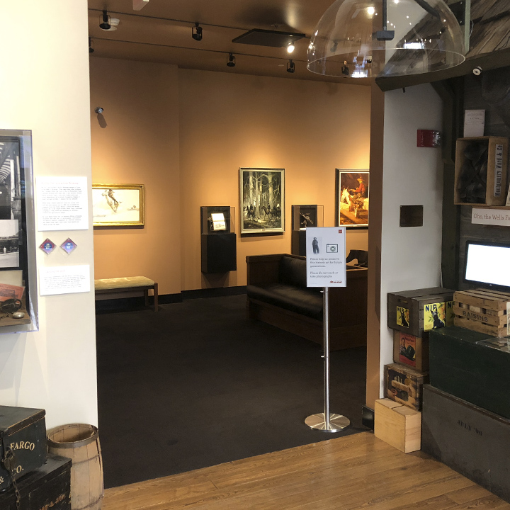
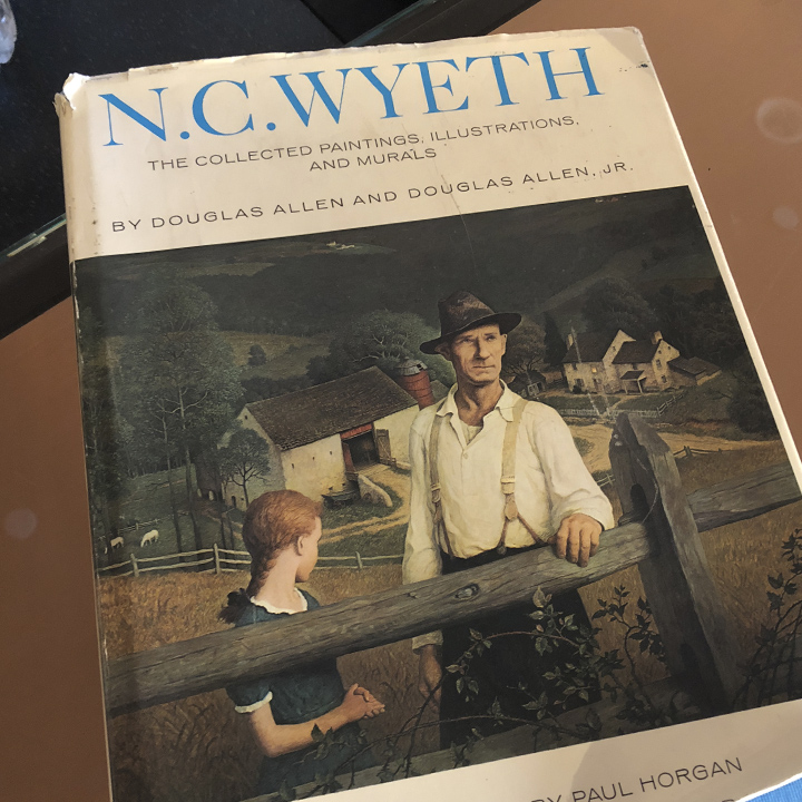
I did spent some time talking with a gentleman who works there. He said he felt privileged to be around such an unusual and significant collection (which I assume is worth tens of millions of dollars). He took the time to share a couple of his favorite books on the subject. If you’re unfamiliar with N.C. Wyeth’s work, take a look at A Day With the Round-Up: An Impression By N.C. Wyeth for a brief introduction. (If you’re ever in southern Pennsylvania. Stop into the Brandywine River Museum of Art in Chadd’s Ford. If you aren’t yet a fan of the Wyeths, you will be by the time you leave.)
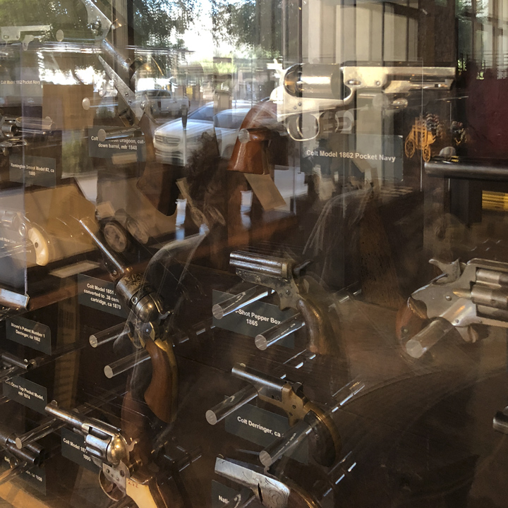
The Wells Fargo Museum also offers an impressive collection of guns and western paraphernalia.
Day 11 | Crossing the Mogollon Rim
Today will be a long drive—280 miles northeast up across Arizona’s Mogollon Rim through the Painted Desert to the Petrified Forrest and on to Gallup, New Mexico.
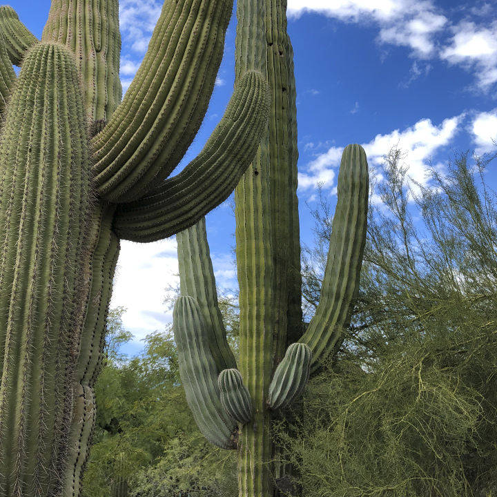
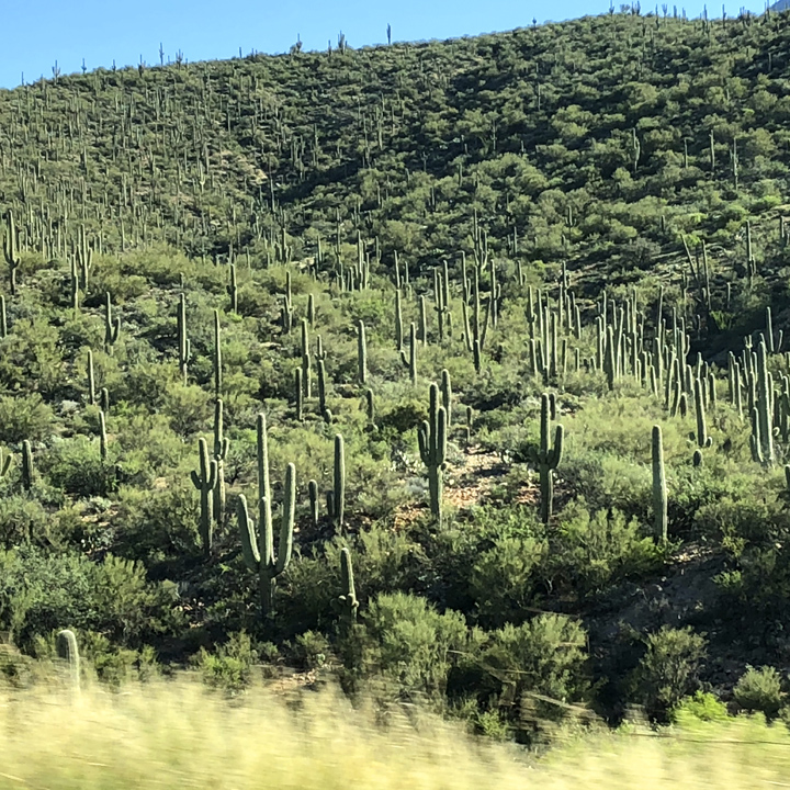
As with many days of this trip, there will be dramatic geographical changes. The first leg takes us through a rocky, desert-like landscape populated by what must be millions of the west’s most iconic cactus, the saguaro.
The photographs don’t do them justice. Saguaros are tree-like cacti that can grow (over their often 150 year life span) to 40 feet or more and weight well upwards of 4000 pounds.
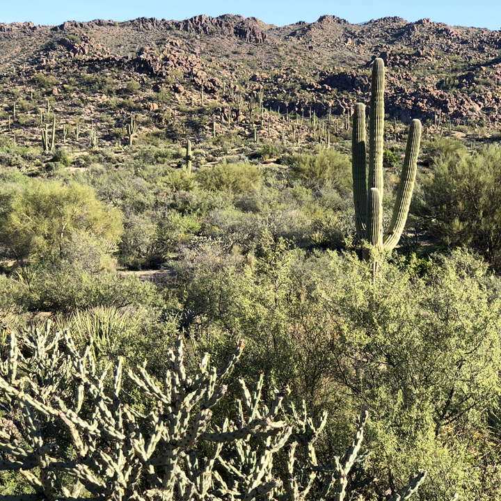
It’s almost like a painting…
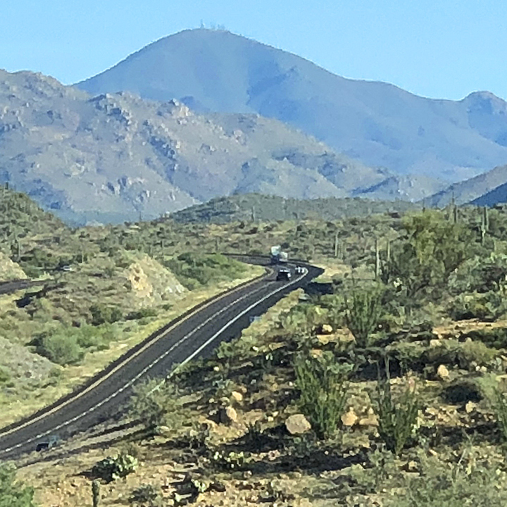
Mid-morning, we take Route 260 East an begin the climb up, maybe 3000 feet, to the Mogollon Rim—an escarpment that defines the southwestern edge of the Colorado Plateau…
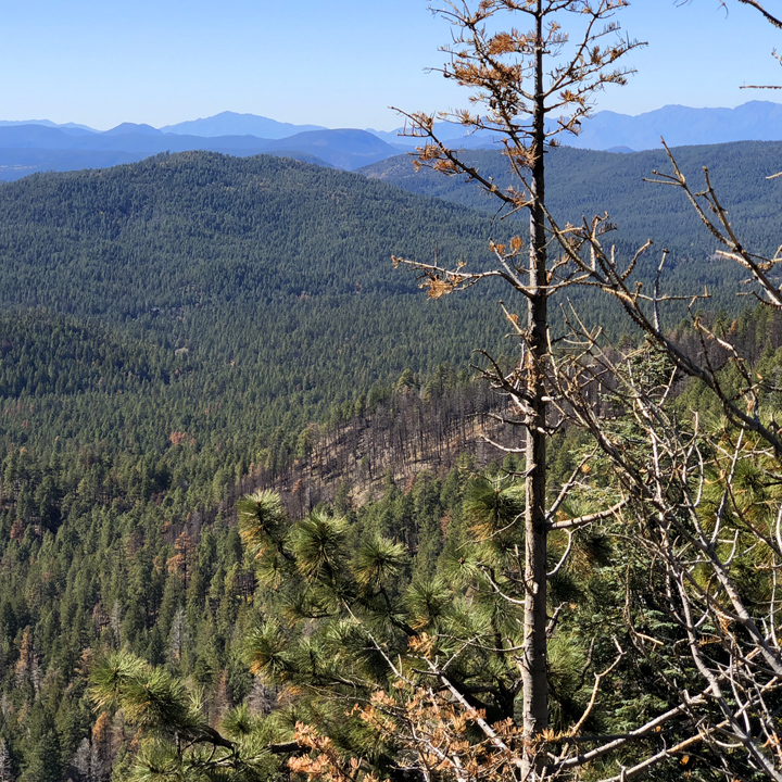
This is the view from the Mogollon Rim Visitor Center…
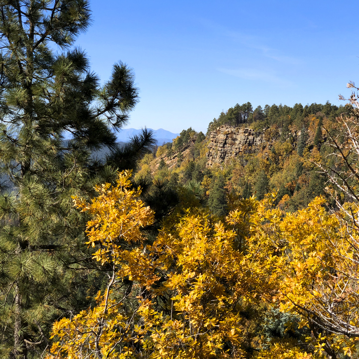
(Mobile device? Use the pinch-to-zoom gesture to see detail of the images—especially the panoramas.)


The road north to Holbrook and beyond into the Petrified Forest National Park unwraps more dramatic landscapes. We’re in the Painted Desert. As described by on the Petrified Forest National Park website, it is “a world class scientific laboratory for the study of fossils from the later part of the Triassic Period (about 227-205 million years ago).”

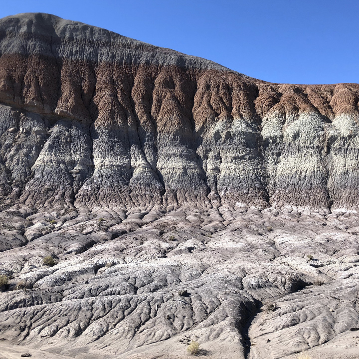
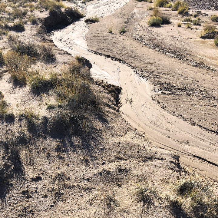
It is mostly dry and barren…
One stop on the road through the park is the 1930s-era Painted Desert Inn…
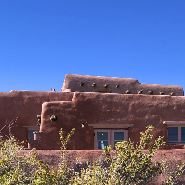
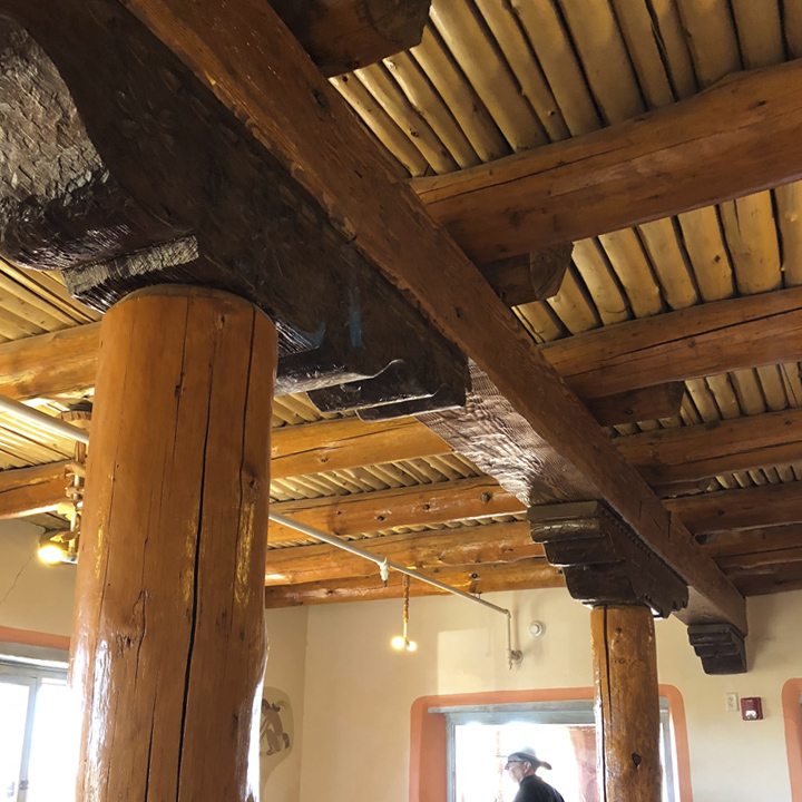
And beyond that, Newspaper Rock…
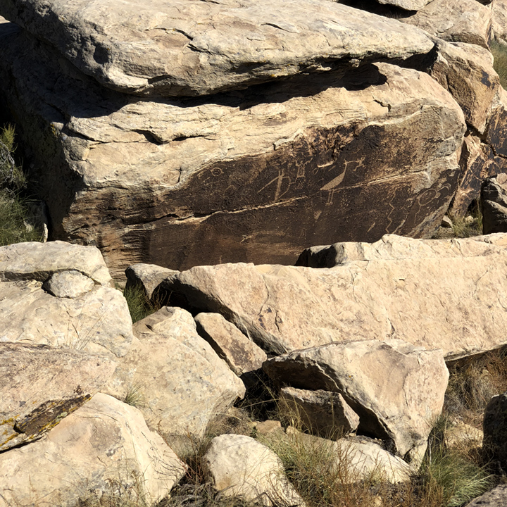
The petroglyphs and ruins are said to be “created by ancestral Puebloan people living, farming, and hunting along the Puerco River between 650 and 2,000 years ago.”
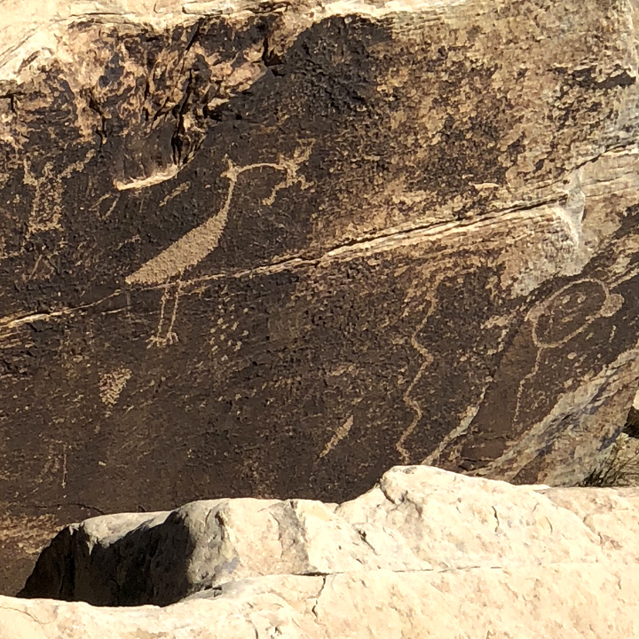
But the big attraction is, of course, the petrified trees found throughout the park…
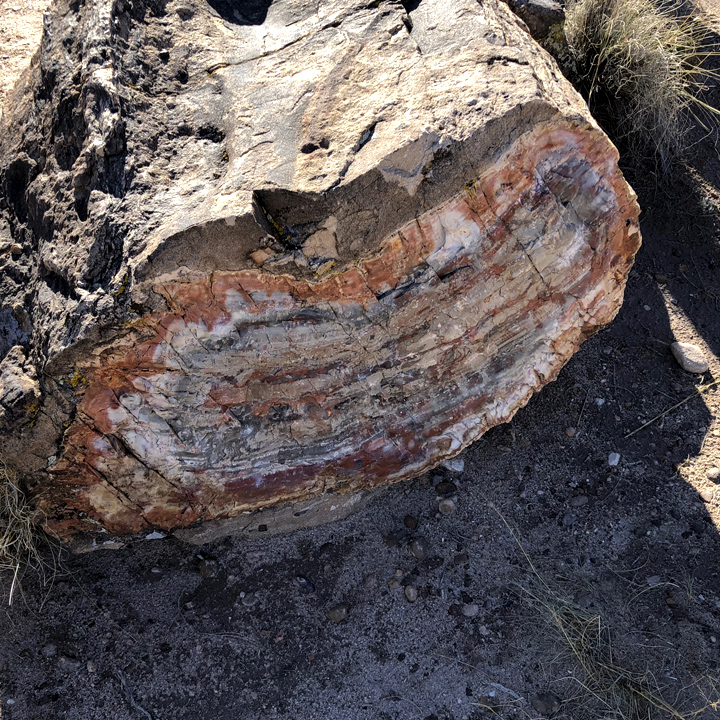
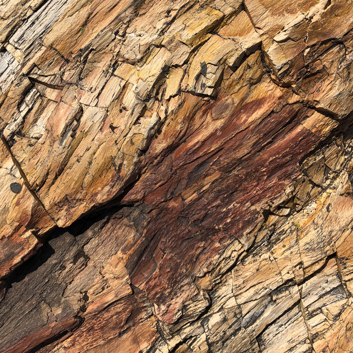
Looks like wood no? It’s quartz. Again, as the park service explains it…
“Petrified wood found in the park and the surrounding region is made up of almost solid quartz… Over 200 million years ago, the logs washed into an ancient river system and were buried quick enough and deep enough by massive amounts of sediment and debris also carried in the water, that oxygen was cut off and decay slowed to a process that would now take centuries.”
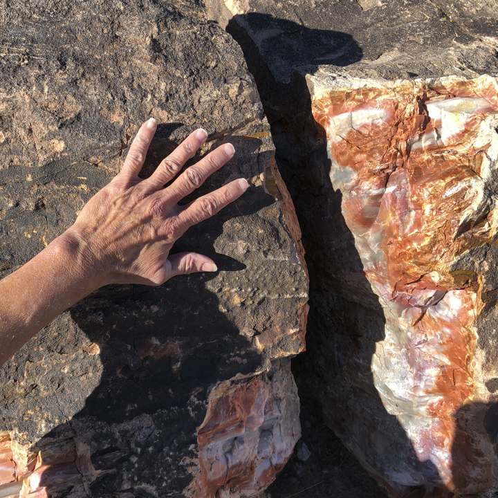
Leslie offers a hand at demonstrating the relative size of one specimen…
My glimpse does not do it justice. If you’re interested, here’s a far better description by via a video excerpt from Finley-Holiday’s America’s National Park DVD at www.finleyholiday.com…
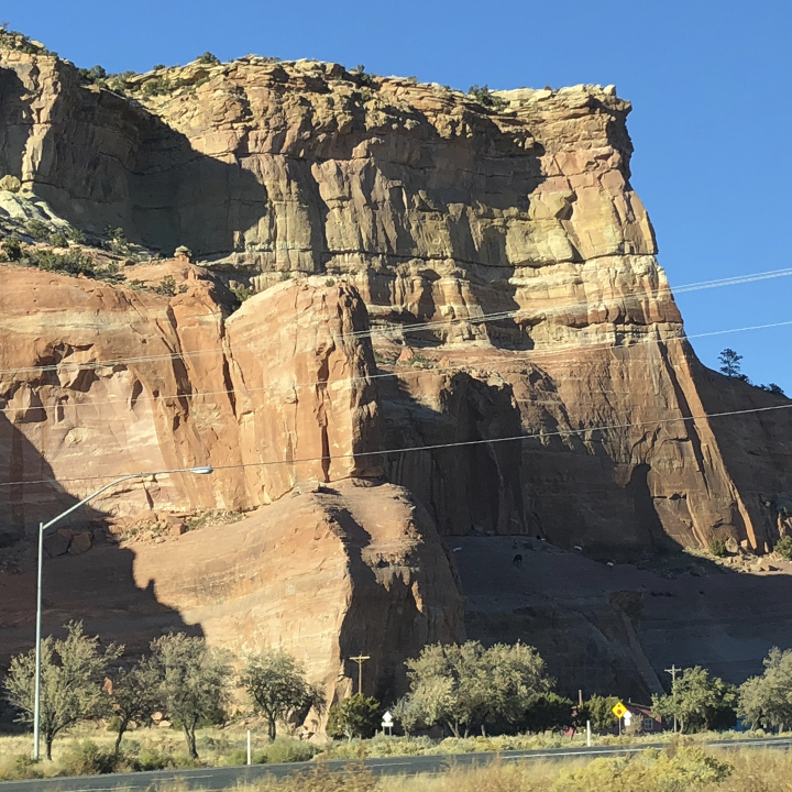
The day closes with a trip up Interstate 48 to Gallup, New Mexico. Though it is not officially part of the Navajo Nation Reservation, Gallup is almost entirely surrounded by it.
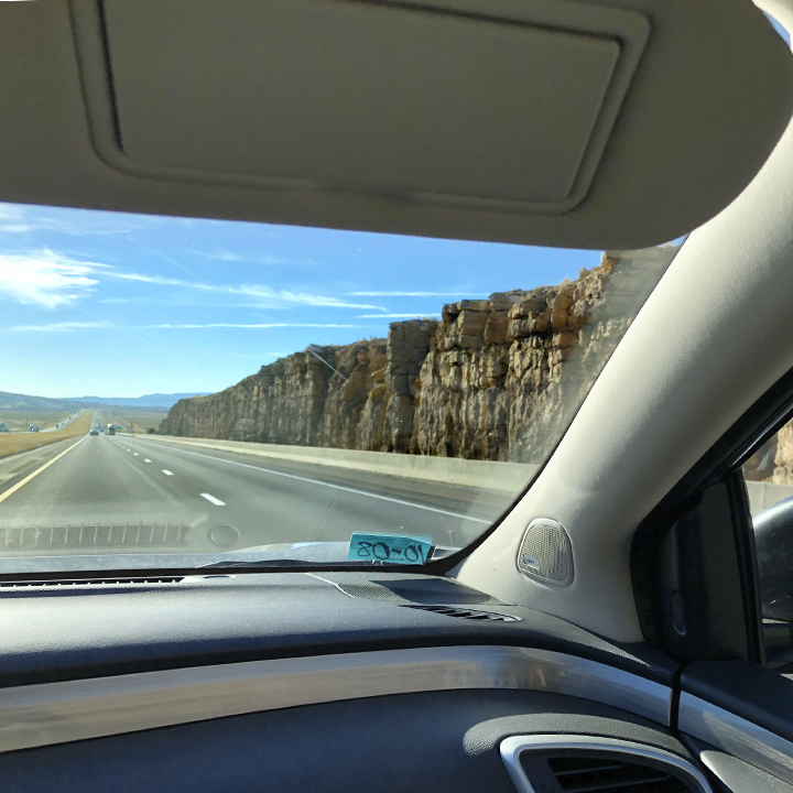
Day 12 | Return to Sante Fe
We start the day with the drive from Gallup to Albuquerque, New Mexico and the morning Farmer’s Market at Roosevelt Park.
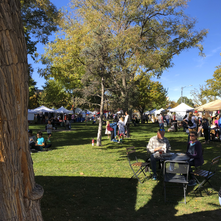
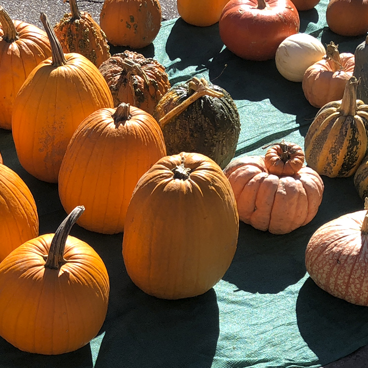
It was quite and affair: Prepared foods, arts and crafts, baked goods, pumpkins and squash…
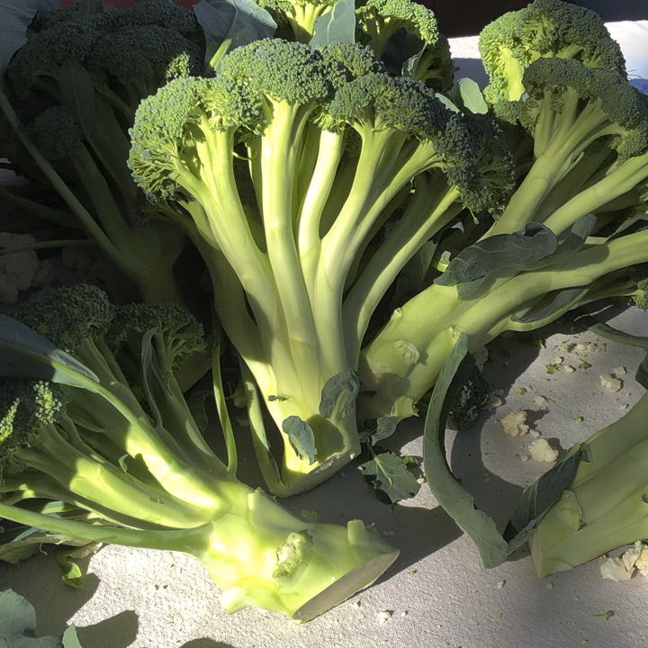
And the biggest broccoli spears I’ve ever seen…
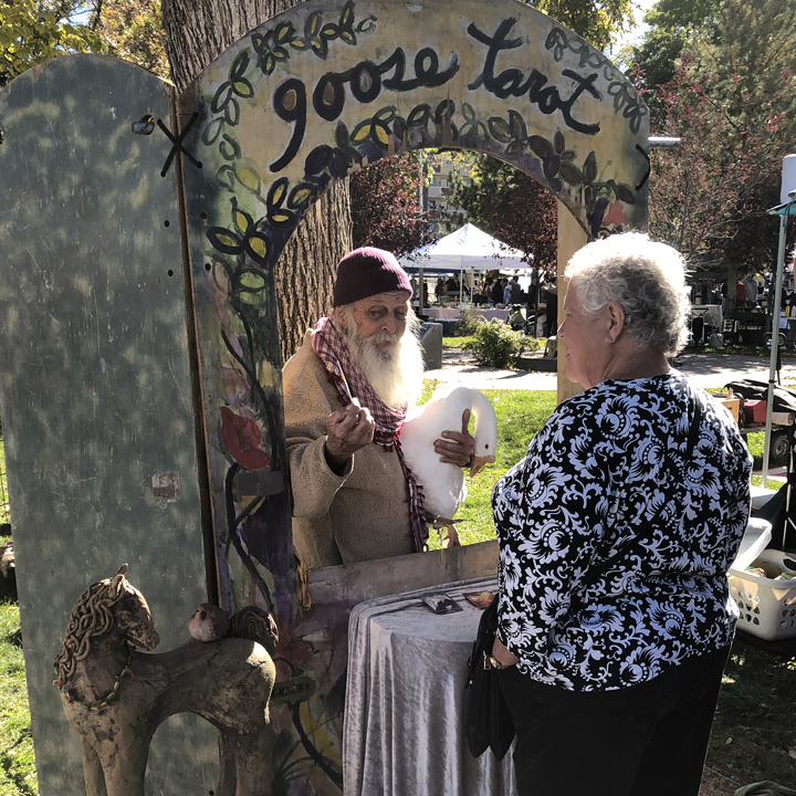
And, of course, a Goose Tarot reader…
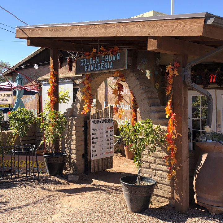
Next stop, Golden Crown Panaderia, an old fashioned Albuquerque neighborhood bakery…
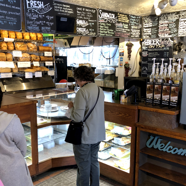
With lots to choose from…
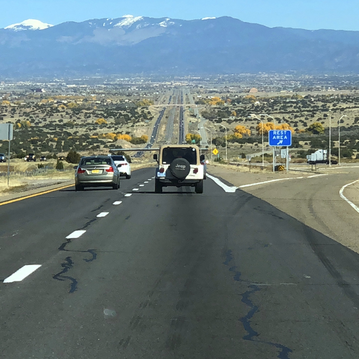
Now we’re off to Sante Fe, a place with which I have some history…
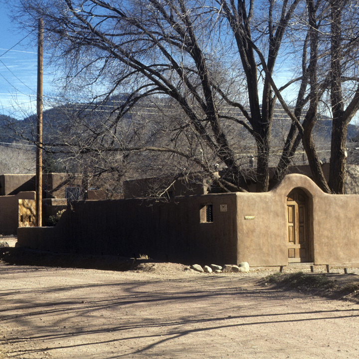
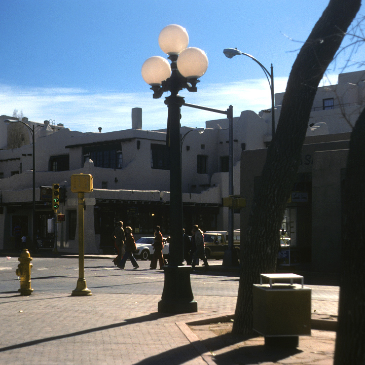
This will be my third visit to Sante Fe. Since my first visit in the late 1970s, I’ve had a special place in my heart for it. I’ve thought of it a my favorite town in America—a quaint, western artist’s colony—home of the mysterious Georgia O’Keeffe, populated with a myriad of low-slung, earth-colored adobe buildings. In fact, these next few photographs are from that first trip.
There’s my four-wheeled home…
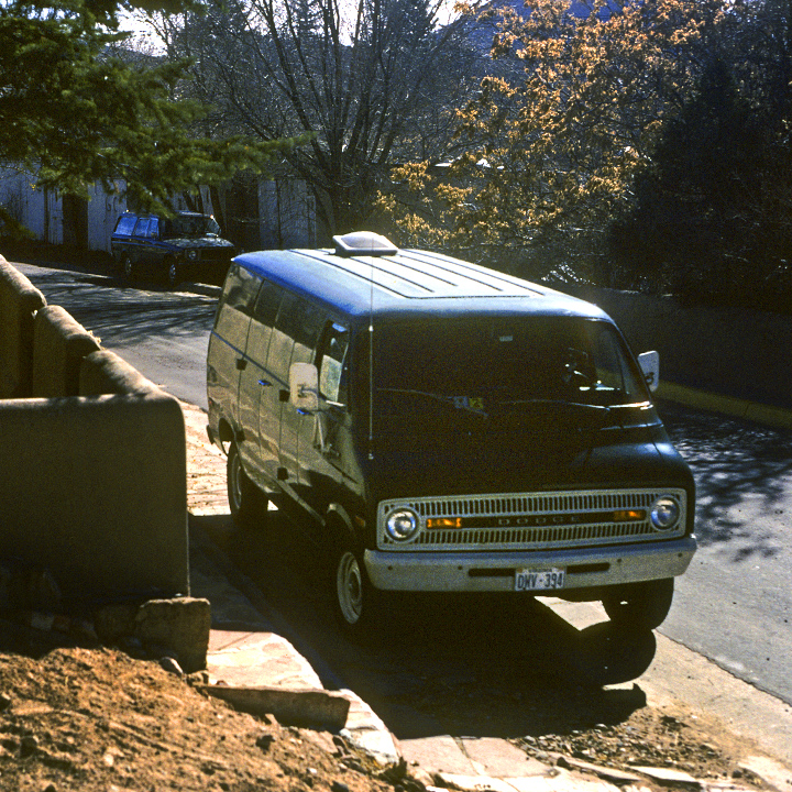
What makes it such a special place is the architecture and the house secreted behind adobe walls on the winding dirt streets and alleyways. All staged amongst the southernmost subrange of the Rocky Mountains: the Sangre de Cristo Mountain Range. And, of course, that massive deep blue sky…
A typical 1970s Sante Fe callejero…
And the downtown…
Later, in the early 1980s, I took my girlfriend Leslie there…
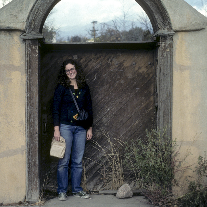
And thirty-something years later, we’re back…
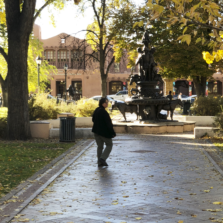
Sante Fe, of course, like most places, has changed. The population of Sante Fe County just about doubled from 1980 (75K) to 2017 (148K). And in 2018, its far more touristy with lots of high-end shops…
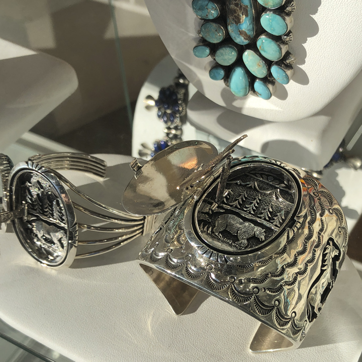
And galleries…
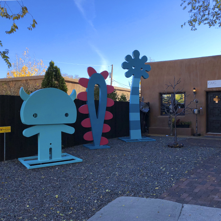
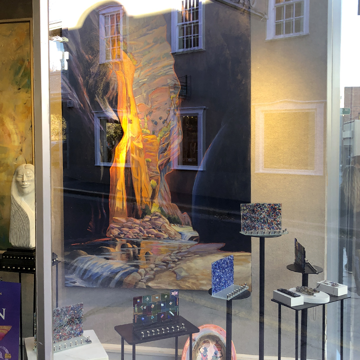
Art is all around…
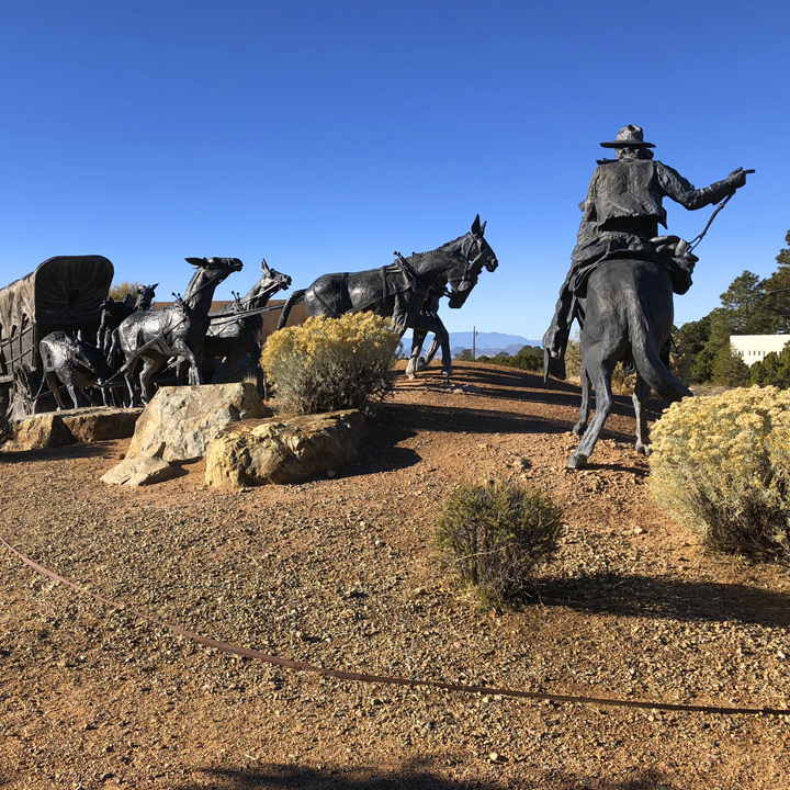
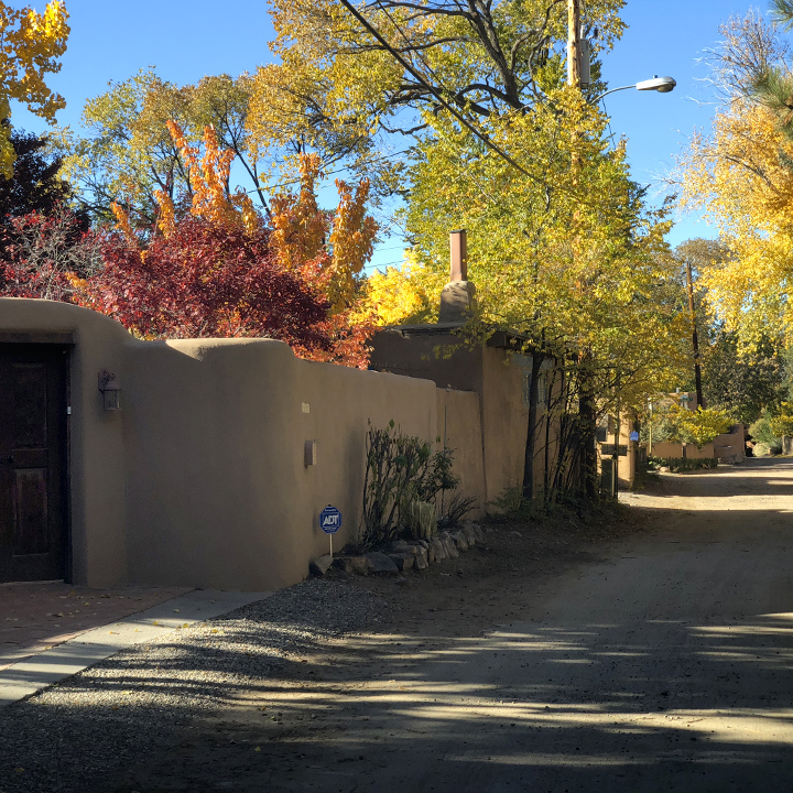
But I’m happy to report that there are still very many quiet streets…
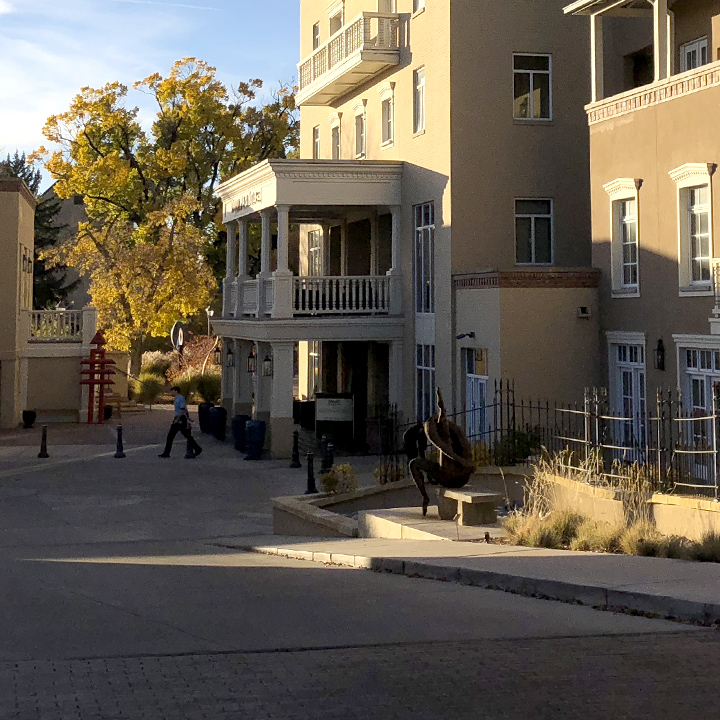
We stayed the night at Drury Plaza Hotel, a lovely place…
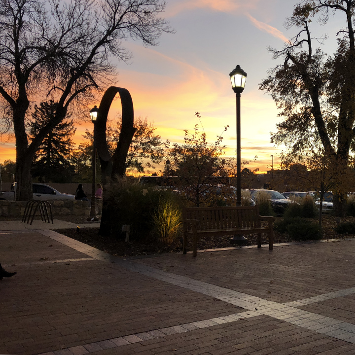
Where we watched the sun go down…
Then sat in the lobby, and enjoyed the fire…

Day 13 | Winding along the Rio Grande and to Colorado Springs
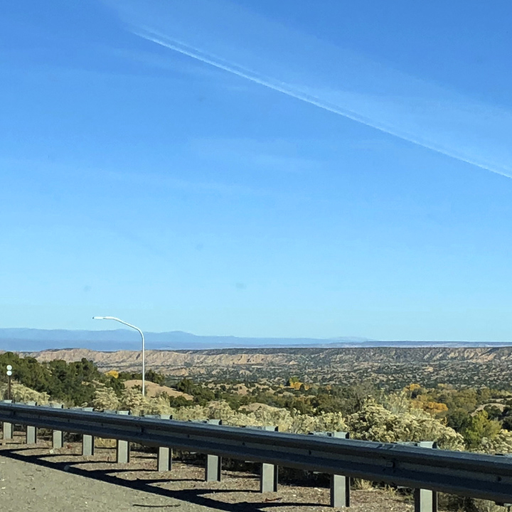
We’re headed out of Santa Fe this morning, up State Road 68 along the Rio Grande River. The first leg of the drive is flat and New Mexico-like arid…
But soon we’re winding our way amongst the hills along the Rio Grande.
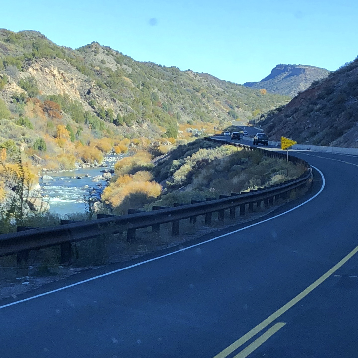
The Rio Grande headwaters are in southwest Colorado, travel the length of New Mexico, then form the United States/Mexico border beginning in west Texas. In all, it travels 1900 miles before emptying into the the Gulf of Mexico…
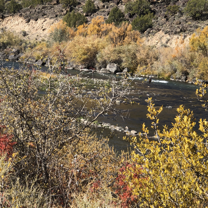
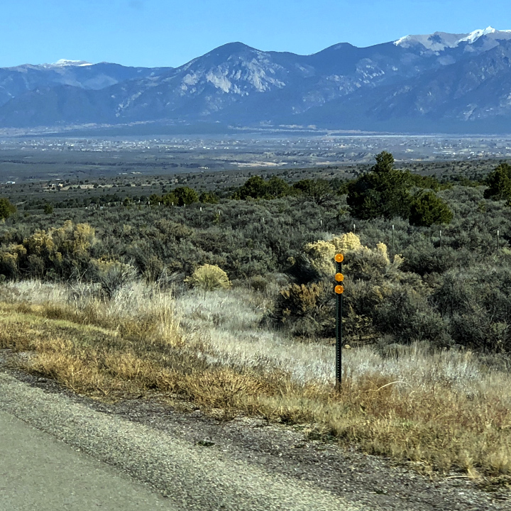
The day is filled with more dramatic vistas…
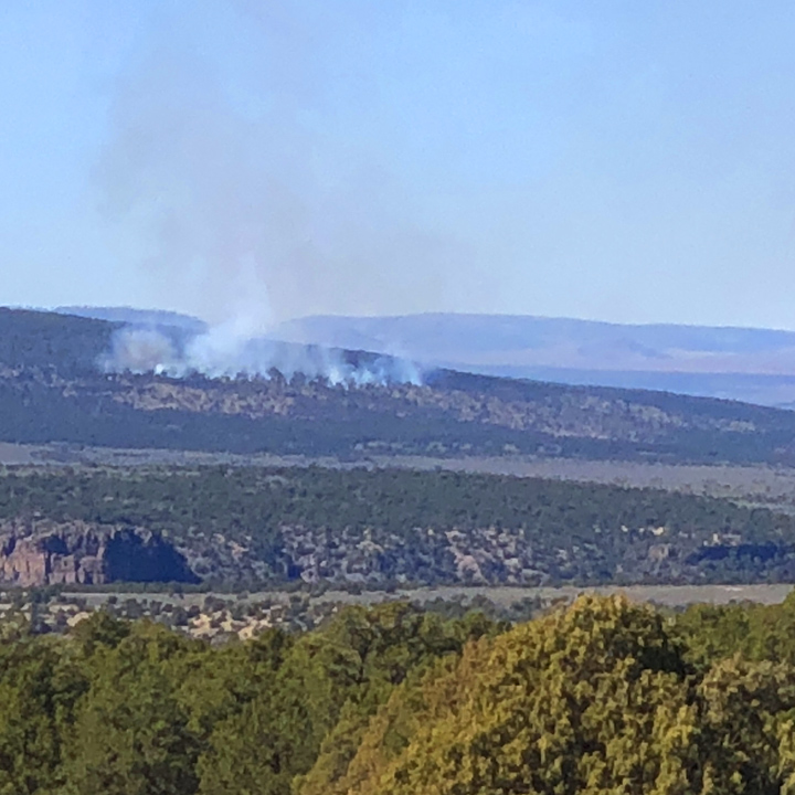
We’ve see our fair share of fire damage in the last couple of weeks, but this is the first day we’ve seen an active fire. You can imagine that, controlling such fires in such challenging geography, is a real challenge. You can track active fires using the United States Forestry Service’s Incident Information System, InciWeb…
We’re even seeing some exotic creatures…
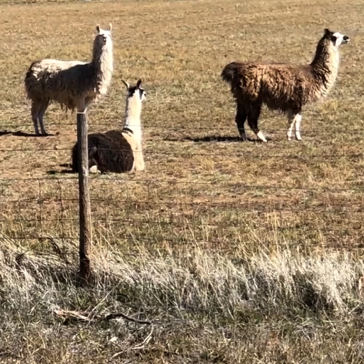
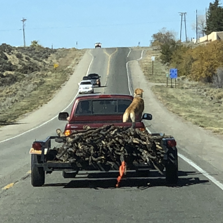
This one looks as though she’d prefer driving herself…
Out in the sparsely populated valley, we see a herd of wild horses headed to a pond on the west side of the road…
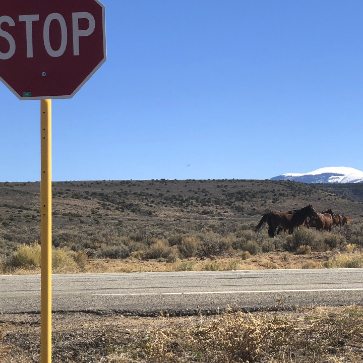
After a pause (I assume they saw the sign), they head across the road…
I think this clip gives you a sense of the enormity of these western states….
Not enjoying the view? No worries, it changes at least hourly…
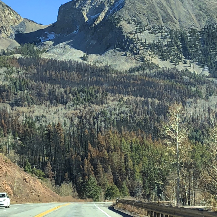
And just around the corner, more evidence of fires… (Using a mobile device? Use the pinch-to-zoom gesture to see the detail of these images.)

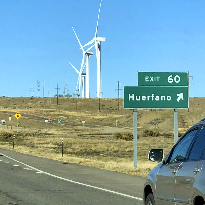
Over the border in southern Colorado, we spot a wind turbine farm…
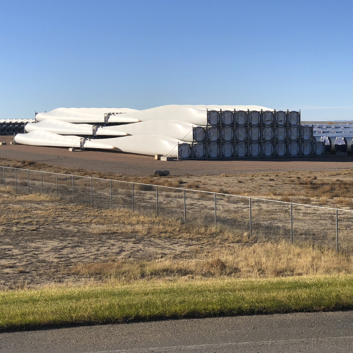
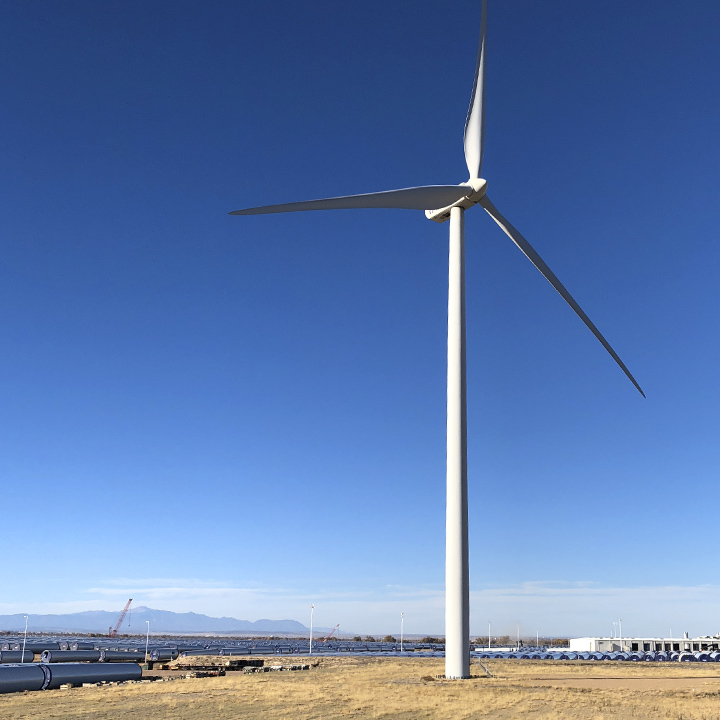
And a little further north, what appears to be a wind turbine factory.
Day 14 | The crown jewel
We spend the night in Colorado Springs and start the morning with a drive through Garden of the Gods. These formations are ancient sedimentary beds that were deposited horizontally, then tilted vertically by the uplift of the Rocky Mountains and the Pikes Peak massif…

One article I’ve read says that there is archaeological evidence that shows prehistoric people visited here as early as 1330 BC…

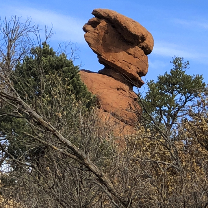
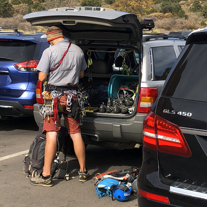
But the crown jewel of this week’s travels is our next stop: the United States Air Force Academy. It sits at an elevation of 7,258 feet amongst the Rampart Range of the Rocky Mountains, just north of Colorado Springs.
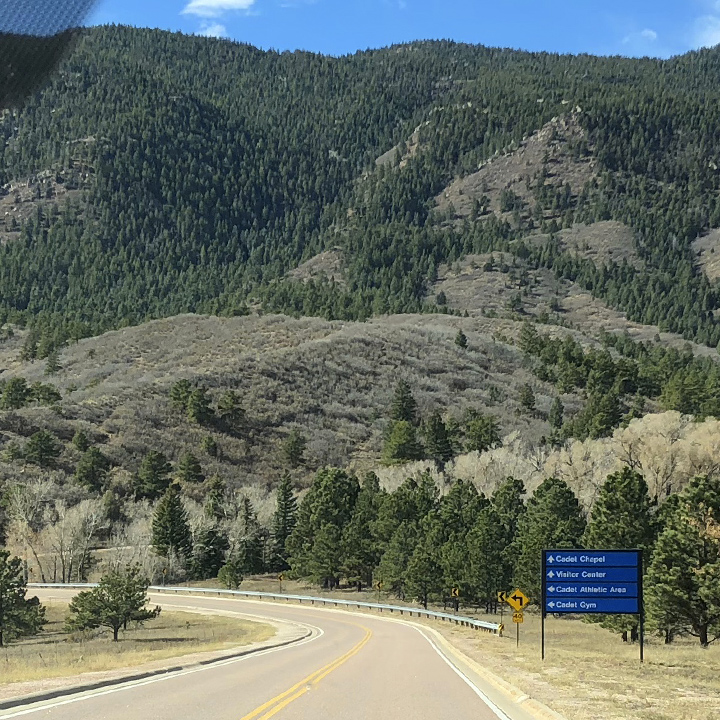
Driving though the gates, the first glimpse of the campus is awesome (here’s another view)…
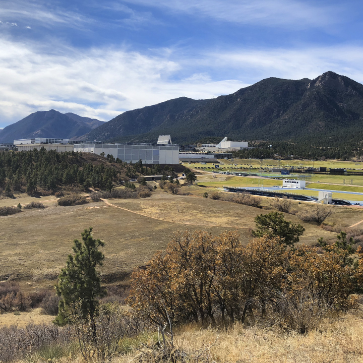
The visitor center steps you through the history of the academy…

And short hike over a ridge takes you to the campus grounds and its iconic Cadet Chapel…
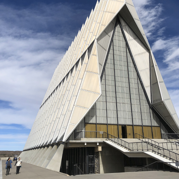
There were very few folks around but a gentleman approached us and introduced himself. It turns out he is a graduate of the Academy and was once a pilot of the type of aircraft you see in the distance (below). He was kind enough to identify the buildings we were seeing, to explain what life was like as a Cadet, and answer our many questions.
Let me pause to say, hats off to that serviceman and millions of other women and men who have served in the United States Army, Navy, Air Force, Marines Corps, and Coast Guard. Many sacrificed greatly, even laid down their lives so that you and I can enjoy the freedoms of a modern, ever-improving world.
While some might think of our military forces as part of a kind of war machine, I think of it as the keeper of the peace. In a world where some people and nations don’t play by the rules, I’m grateful there are those who have have accepted the responsibility of maintaining some semblance of order.
Our pleas for peace are measured not by the sincerity with which they are spoken but by the strength we can array to enforce them.GENERAL OMAR N BRADLEY
No matter how flawed you think we are, you’ve got to believe the United States of America has made the world a better place.

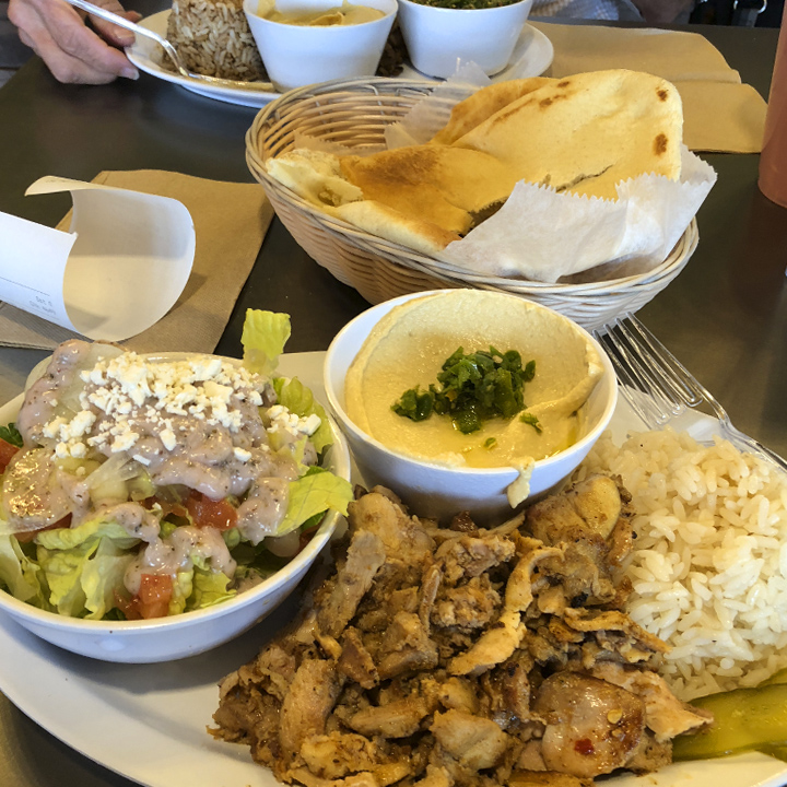
And, with that, were off. Back up through Denver we stopped at FelFel Mediterranean Restaurant for lunch. If you’re in the area I couldn’t recommend it more highly. The food is fabulous and the facility is technologically and aesthetically impressive…
Finally, it’s on to Boulder, Colorado for a nighttime stroll up the Pearl Street Mall in downtown…
Tonight we’re staying at a rather state-of-the-art Embassy Suites with an unusual art display…
Day 15 | Into the Colorado High Plains
On our final day, we want to go where most people flying into Denver for the sights, don’t go—to the east: the Colorado Eastern Plains (High Plains). Why don’t they go? I’m guessing because it’s big and flat and sparse…

But that doesn’t mean it’s boring.
When I say big and flat and sparse, I mean BIG, FLAT, and SPARCE. The Colorado Encyclopedia tell us the soil is silty and sandy, it gets just 12 to 18 inches of precipitation each year, the winds average 12-14 MPH, and the temperatures range from below zero degrees Fahrenheit in winter to above 100 in the summer.
Did I mention it’s big and flat and sparse…
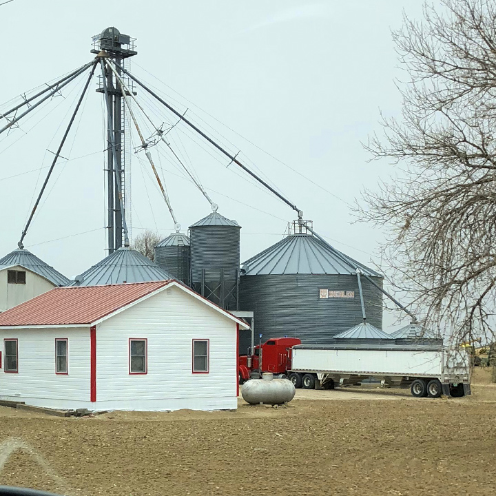
It is populated with farms, ranches, and the occasional small town… (Read more about Colorado’s forgotten plains here.)
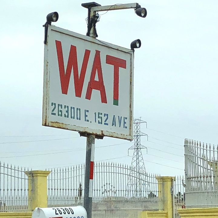
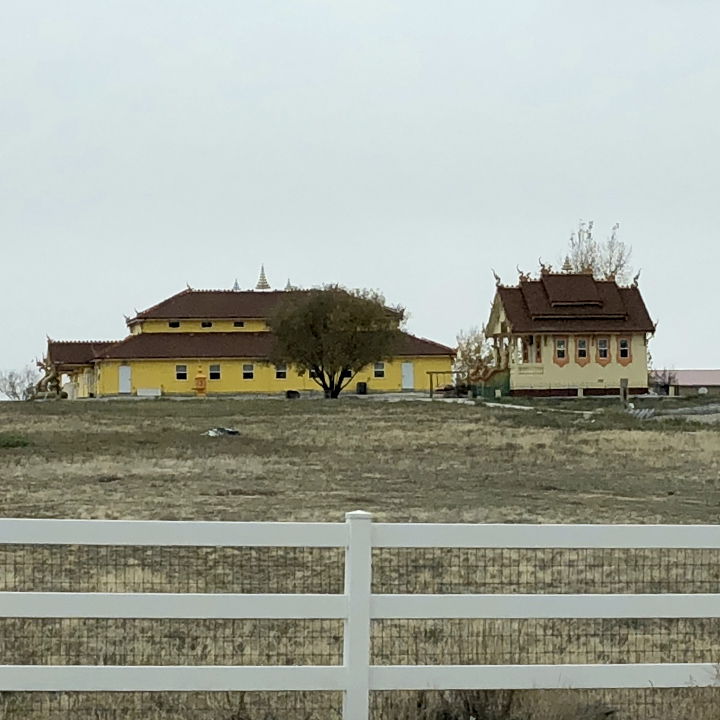
And, of course, there’s an occasional anomaly of that order. In this case, Wat Buddhapunyaram,
We even saw houses in subdivisions, each of which, has a corral and a barn.
To wrap up the day, we drive through a 15,000 square acre urban wildlife refuge—the Rocky Mountain Arsenal National Wildlife Refuge—formally the Rocky Mountain Arsenal—a chemical weapons manufacturing facility.
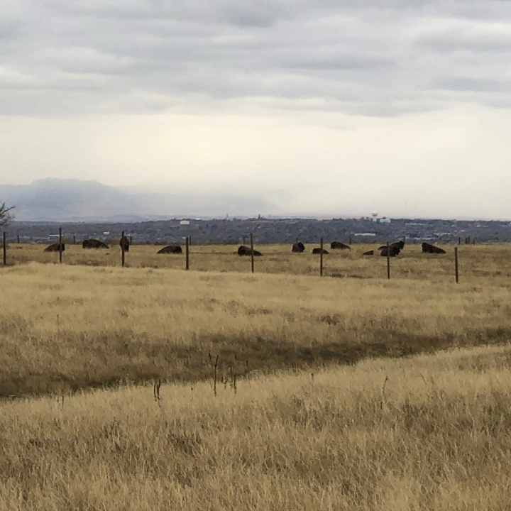
Among its inhabitants, large herds of buffalo…
As darkness falls (and a light snow with it), we’re off to the airport, a bit of deicing, and we’re headed for home…
Posted in NOVEMBER 2018 / Chuck Green is the principal of Logic Arts, a design and marketing firm, a contributor to numerous magazines and websites, and the author of books published by Random House, Peachpit Press, and Rockport Publishers. Contact.


Beautiful sunset! Looking forward to the rest!
Hi Chuck,
Loved the travelogue, and look forward to the next installment.
We lived in both in Denver and Arizona, and often drove from Phoenix to New Mexico, all around Arizona, and, once, round trip to Steamboat Springs from Arizona. The South Rim of the Grand Canyon was a must-visit for our friends visiting from Australia, when we lived in Arizona (never made it to the North Rim). The high desert is stunning, isn’t it.
Cheers,
Jessica
I loved your trip. Guess I need to fit that in my schedule. Thanks for sharing.
Thanks for sharing your travel photos. It’s so lovely to see the wild American landscape from a different angle. Your bitumen roads are in wonderful condition. I live on a dirt road in Australia, so I really appreciate a bitumen road.
Just found your comment Kathy–thank you. First time I’ve heard the term “bitumen”–had to look it up–I’ve always known it as asphalt. Yes, now that you mention it, the roads (generally speaking) were in very good shape all along the way. You don’t know what you’ve got till you don’t got it.
Ok Chuck, I enjoyed the images and the virtual Sketchy hike in Zion.
Now when is dinner?